Bowden in Carroll County, Georgia — The American South (South Atlantic)
Whatley Memorial Historic Park
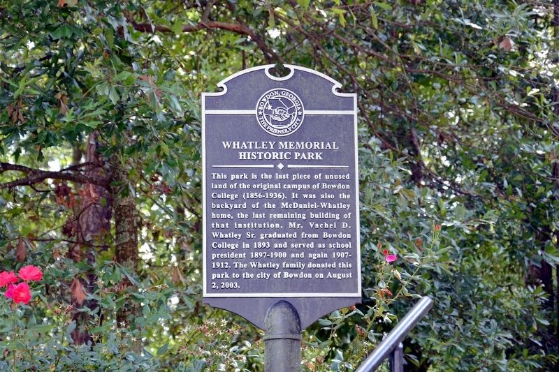
Photographed by David Seibert, September 15, 2013
1. Whatley Memorial Historic Park Marker
Topics. This historical marker is listed in this topic list: Education.
Location. 33° 32.3′ N, 85° 15.6′ W. Marker is in Bowden, Georgia, in Carroll County. It is at the intersection of Ellenwood Drive and College View Street, on the right when traveling north on Ellenwood Drive. Touch for map. Marker is in this post office area: Bowdon GA 30108, United States of America. Touch for directions.

Regionally, this marker is in Georgia’s Piedmont and in Metro Atlanta. It is also in the American South and specifically in the Deep South. Globally, it is in North America, the Western Hemisphere, the Western World, and the Anglosphere. Historically, it finds itself
this page online
Other nearby markers. At least 8 other markers are within 12 miles of this marker, measured as the crow flies: Site of Bowdon College (about 400 feet away, measured in a direct line); Last Land in Georgia Ceded by the Creeks (approx. half a mile away); First “REA” Substation in Carroll County (approx. 9 miles away); University of West Georgia (approx. 9.8 miles away); Carrollton (approx. 11 miles away); Hernando de Soto in Alabama (approx. 11.1 miles away in Alabama); Six Industrial Giants (approx. 11.2 miles away); Dixie Street (approx. 11.2 miles away).
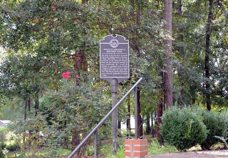
Photographed by David Seibert, September 15, 2013
2. Whatley Memorial Historic Park Marker
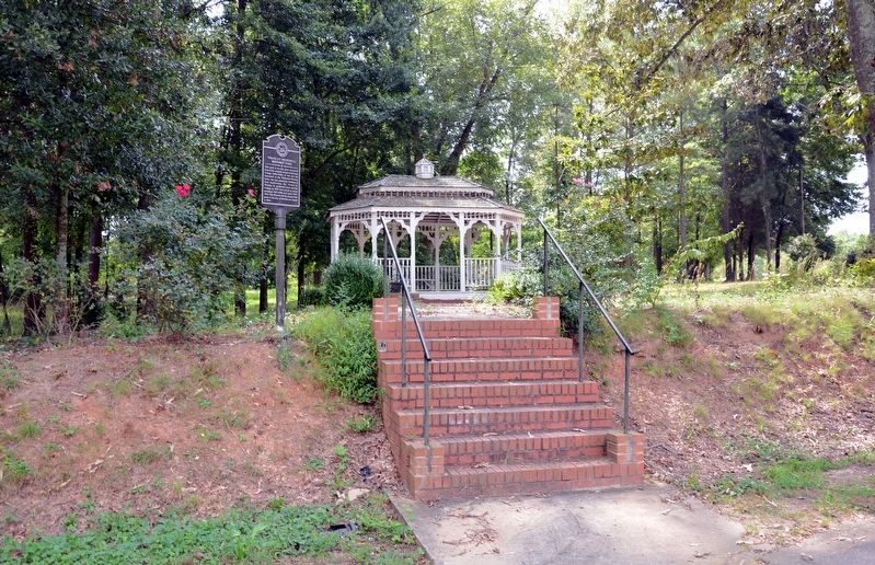
Photographed by David Seibert, September 15, 2013
3. Whatley Memorial Historic Park Marker
Credits. This page was last revised on June 23, 2019. It was originally submitted on September 9, 2017, by David Seibert of Sandy Springs, Georgia. This page has been viewed 647 times since then and 47 times this year. Photos: 1, 2, 3. submitted on September 9, 2017, by David Seibert of Sandy Springs, Georgia.
