Statesboro in Bulloch County, Georgia — The American South (South Atlantic)
First District Agricultural and Mechanical School
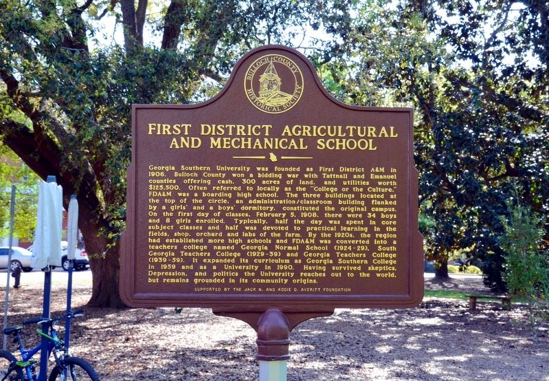
Photographed by David Seibert, April 10, 2014
1. First District Agricultural and Mechanical School Marker
this page online
Erected by The Bulloch County Historical Society, sponsored by the Jack N. & Addie D. Averitt Foundation.
Topics. This historical marker is listed in this topic list: Education.
Location. 32° 25.567′ N, 81° 46.967′ W. Marker is in Statesboro, Georgia, in Bulloch County. It is on Southern Drive, also known as Sweetheart Circle 0.3 miles east of Forest Drive, on the left when traveling east. The marker located on the Georgia Southern University Campus, across Southern Drive from the Marvin Pittman Administration Building. Southern Drive/Sweetheart Circle is one way counter-clockwise. Touch for map. Marker is in this post office area: Statesboro GA 30460, United States of America. Touch for directions.

Regionally, this marker is on the Coastal Plain. It is also in the American South and specifically in the Deep South. Globally, it is in North America, the Western Hemisphere, the Western World, and the Anglosphere. Historically, it finds itself in what was once the territory of the Mississippian Culture, one of the original Thirteen Colonies,
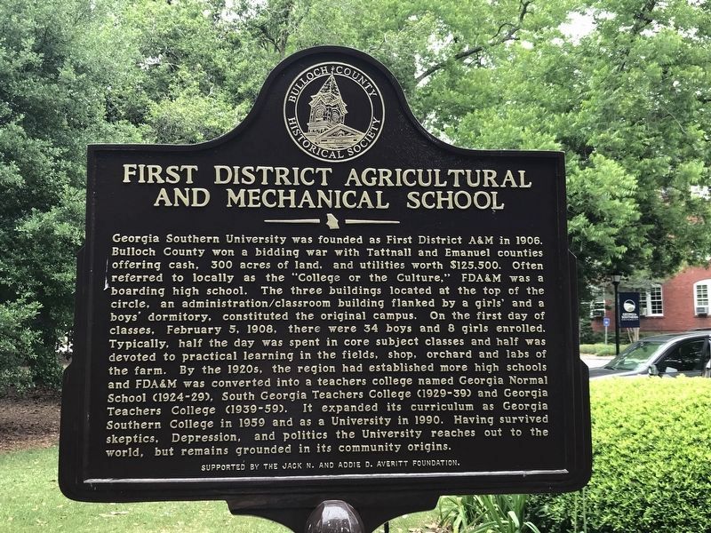
Photographed by Duane and Tracy Marsteller, May 8, 2022
2. First District Agricultural and Mechanical School Marker
Other nearby markers. At least 8 other markers are within 2 miles of this marker, measured as the crow flies: Marvin Summers Pittman (a few steps from this marker); Integration of Georgia Southern (within shouting distance of this marker); Pioneer Turpentining Experiment (about 800 feet away, measured in a direct line); W. Jones Lane Memorial Highway (approx. 0.3 miles away); United States vs. Darby Lumber Company (approx. 0.8 miles away); Savannah & Statesboro Railway (approx. 0.9 miles away); The Bulloch County Hospital, 1937-2000 (approx. 1.3 miles away); Donehoo-Brannen-NeSmith Mansion (approx. 1.4 miles away). Touch for a list and map of all markers in Statesboro.
Related marker. Click here for another marker that is related to this marker.
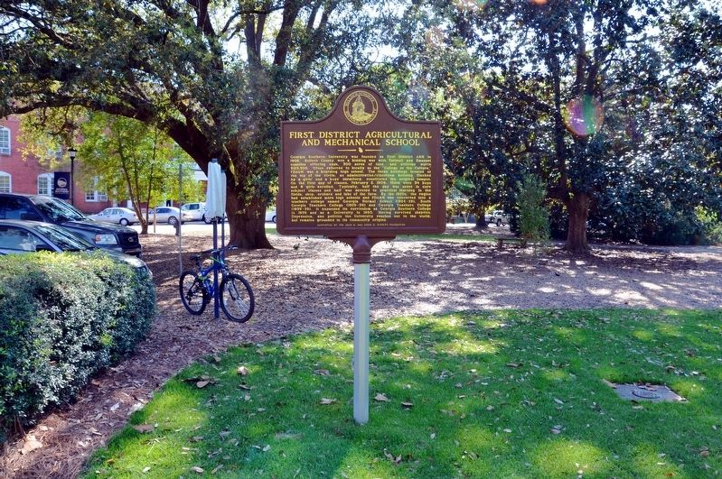
Photographed by David Seibert, April 10, 2014
3. First District Agricultural and Mechanical School Marker

Photographed by David Seibert, April 10, 2014
4. First District Agricultural and Mechanical School Marker
The Marvin Pittman Administration Building is in the background.

Photographed by Duane and Tracy Marsteller, May 8, 2022
5. First District Agricultural and Mechanical School Marker
Featured marker is on the right.
Credits. This page was last revised on May 16, 2022. It was originally submitted on September 9, 2017, by David Seibert of Sandy Springs, Georgia. This page has been viewed 829 times since then and 78 times this year. Photos: 1. submitted on September 9, 2017, by David Seibert of Sandy Springs, Georgia. 2. submitted on May 15, 2022, by Duane and Tracy Marsteller of Murfreesboro, Tennessee. 3, 4. submitted on September 9, 2017, by David Seibert of Sandy Springs, Georgia. 5. submitted on May 15, 2022, by Duane and Tracy Marsteller of Murfreesboro, Tennessee.
