St. Augustine in St. Johns County, Florida — The American South (South Atlantic)
The Oldest Presbyterian Church in Florida
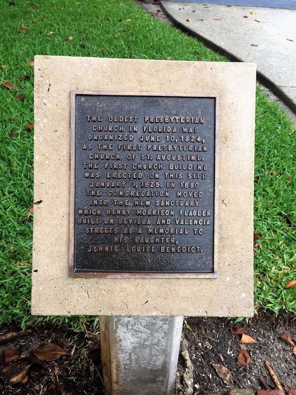
Photographed by Jay Kravetz, June 6, 2017
1. The Oldest Presbyterian Church in Florida Marker
Topics. This historical marker is listed in this topic list: Religion & Religious Structures. A significant historical date for this entry is June 10, 1824.
Location. 29° 53.342′ N, 81° 18.705′ W. Marker is in St. Augustine, Florida, in St. Johns County. It is on Saint George Street south of Bridge Street, on the right when traveling south. Touch for map. Marker is in this post office area: Saint Augustine FL 32084, United States of America. Touch for directions.

Regionally, this marker is in First Coast and in Greater Jacksonville. It is also in the American South and on the Eastern Seaboard. Globally, it is in the North Atlantic Region, North America, a Gulf of Mexico state, the Western Hemisphere, the Western World, and the Anglosphere. Historically, it finds
this page online
Other nearby markers. At least 8 other markers are within walking distance of this marker: Upham Winter Cottage (within shouting distance of this marker); Canova-Prince Murat House (within shouting distance of this marker); Canova-Dow and Canova-de Medicis Houses (about 300 feet away, measured in a direct line); First Colonial Houses (about 400 feet away); Star General Store (about 400 feet away); Record Building (Cordova Apartments) (about 400 feet away); Colonial Defense Line (about 400 feet away); King’s Road Bridge (about 400 feet away). Touch for a list and map of all markers in St. Augustine.
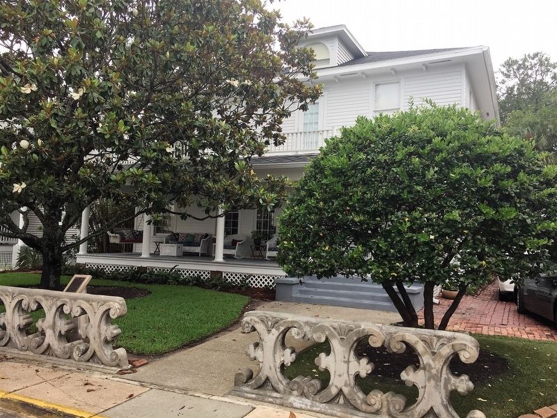
Photographed by Jay Kravetz, June 6, 2017
2. The Oldest Presbyterian Church in Florida Marker
Credits. This page was last revised on January 2, 2019. It was originally submitted on September 10, 2017, by Jay Kravetz of West Palm Beach, Florida. This page has been viewed 763 times since then and 50 times this year. Photos: 1, 2. submitted on September 10, 2017, by Jay Kravetz of West Palm Beach, Florida. • Bernard Fisher was the editor who published this page.
