
Lava Hot Springs in Bannock County, Idaho — The American West (Mountains)
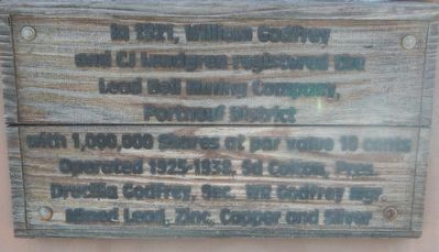
Lead Bell Mining Company
Photographed by Barry Swackhamer, June 22, 2017
1. Lead Bell Mining Company Marker
Topics. This historical marker is listed in this topic list: Industry & Commerce. A significant historical year for this entry is 1921.
Location. Marker has been reported missing. It was located near 42° 37.164′ N, 112° 0.641′ W. Marker was in Lava Hot Springs, Idaho, in Bannock County. It was on East Main Street near 1st Avenue East, on the right when traveling west. Touch for map. Marker was at or near this postal address: 110 East Main Street, Lava Hot Springs ID 83246, United States of America. Touch for directions.

Regionally, this marker was in Idaho’s Bear River Country. It was also in the American Mountain West. Globally, it was in North America, the Western Hemisphere, the Western World, and the Anglosphere.
Other nearby markers. At least 8 other markers are within 10 miles of this location, measured as the crow flies: Furs and farms, fire and floods...
this page online
Another marker is no longer nearby. Chesterfield (was approx. 7 miles away but has been confirmed missing).
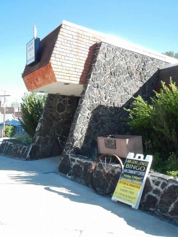
More about this marker. This marker is in front of the South Bannock County Historical Center Museum.
Photographed by Barry Swackhamer, June 22, 2017
2. Lead Bell Mining Company Marker
Photographed by Roger Scot Johns, July 16, 2025
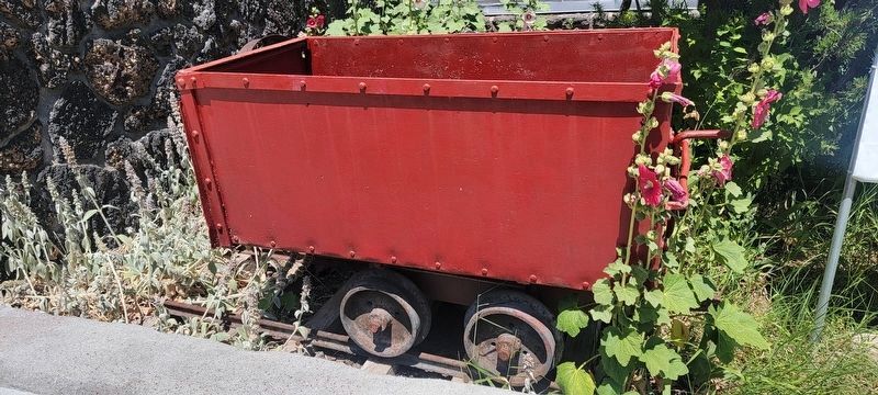
3. Sign removed and cart painted red.
Photographed by Roger Scot Johns, July 16, 2025
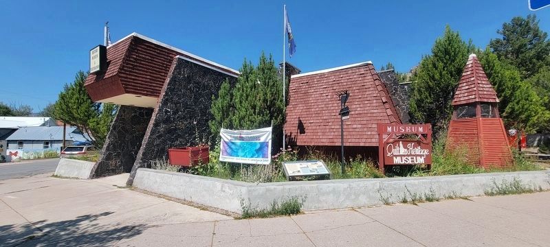
4. The museum/visitor center beds in July 2025.
Credits. This page was last revised on July 17, 2025. It was originally submitted on September 13, 2017, by Barry Swackhamer of Brentwood, California. This page has been viewed 504 times since then and 27 times this year. Photos: 1, 2. submitted on September 13, 2017, by Barry Swackhamer of Brentwood, California. 3, 4. submitted on July 16, 2025, by Roger Scot Johns of Eagle, Idaho.
