Butler in Pendleton County, Kentucky — The American South (East South Central)
British Indian Raid
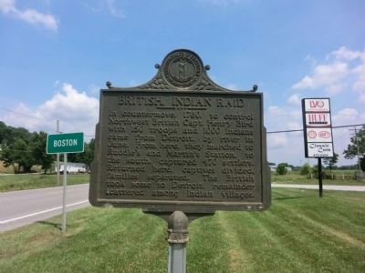
Photographed by Don Morfe, July 20, 2013
1. British Indian Raid Marker
Erected 1966 by Kentucky Historical Society-Kentucky Department of Highways. (Marker Number 953.)
Topics and series. This historical marker is listed in this topic list: War, US Revolutionary. In addition, it is included in the Kentucky Historical Society series list. A significant historical year for this entry is 1780.
Location. 38° 45.767′ N, 84° 21.15′ W. Marker is in Butler, Kentucky, in Pendleton County. It is at the intersection of U.S. 27 and Bradford Road on U.S. 27. Touch for map. Marker is in this post office area: Butler KY 41006, United States of America. Touch for directions.

Regionally, this marker is in the Outer Bluegrass. It is also in the American South, specifically in the Upper South, and in the Ohio River Valley. Globally, it is in
this page online
Other nearby markers. At least 8 other markers are within 8 miles of this marker, measured as the crow flies: Bird’s War Road (approx. 6 miles away); Albert A. Jameson (approx. 6 miles away); County Named 1798 (approx. 6 miles away); The Kennett Tavern (approx. 6.1 miles away); Virgilene Ritter Moore • Walter B. Moore (approx. 6.1 miles away); Bell (approx. 6.1 miles away); Grants Lick (approx. 7 miles away); a different marker also named Grant's Lick (approx. 7.3 miles away).
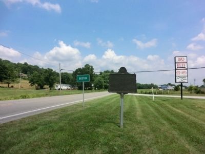
Photographed by Don Morfe, July 20, 2013
2. British Indian Raid Marker
Credits. This page was last revised on September 14, 2017. It was originally submitted on August 14, 2013, by Don Morfe of Baltimore, Maryland. This page has been viewed 1,216 times since then and 47 times this year. Last updated on September 13, 2017, by Darryl R Smith of Cincinnati, Ohio. Photos: 1, 2. submitted on August 14, 2013, by Don Morfe of Baltimore, Maryland. • Bill Pfingsten was the editor who published this page.
