Oradell in Bergen County, New Jersey — The American Northeast (Mid-Atlantic)
Haglerís Diner
1928-2015
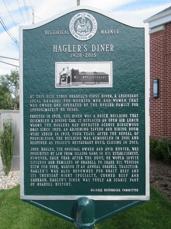
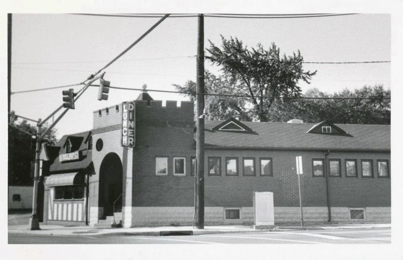
At this site stood Oradell's first diner, a legendary local hangout for working men and women that was owned and operated by the Hagler Family for approximately 85 years.
Erected in 1928, the diner was a brick building that resembled a dining-car. It replaced an open air lunch wagon the Haglers had operated across Ridgewood Road since 1925. An adjoining tavern and dining room were added in 1937, four years after the repeal of prohibition. The building was remodeled in 2001 and reopened as Felice's Restaurant until closing in 2013.
John Hagler, the original owner and avid hunter, was prohibited by law from selling game in his establishment. However, each year after the hunt, he would invite citizens and families of Oradell to share his venison stew for free, making it an annual Oradell tradition. Hagler's was also renowned for roast beef and its Thursday night specialty, corned beef and cabbage. Hagler's Diner was truly an iconic part of Oradell history.
Erected 2016 by Oradell Historical Committee.
Topics. This historical marker is listed in this topic list: Industry & Commerce.
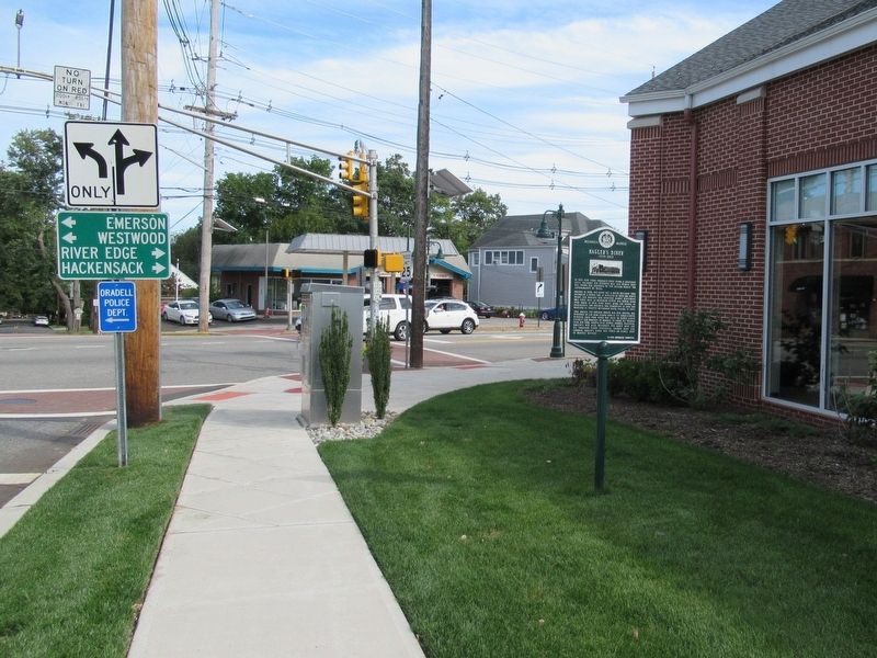
Location. 40° 56.998′ N, 74° 1.954′ W. Marker is in Oradell, New Jersey, in Bergen County. Marker is at the intersection of Ridgewood Avenue and Kinderkamack Road, on the right when traveling east on Ridgewood Avenue. Touch for map. Marker is at or near this postal address: 279 Kinderkamack Road, Oradell NJ 07649, United States of America. Touch for directions.
Other nearby markers. At least 8 other markers are within walking distance of this marker. Richard T. Cooper House (about 700 feet away, measured in a direct line); Oradell Veterans Memorial (approx. ľ mile away); Oradell World War II Memorial (approx. ľ mile away); Oradell (approx. 0.3 miles away); Water at the Hackensack Water Works (approx. 0.4 miles away); Ecology Along the Hackensack River (approx. 0.4 miles away); Vision for the Van Buskirk Island County Park (approx. 0.4 miles away); History of the Hackensack Water Works (approx. 0.4 miles away). Touch for a list and map of all markers in Oradell.
Regarding Haglerís Diner. A bank now occupies the former site of Hagler's Diner
Also see . . . The Corner Where Hagler's Once Stood. Patch website entry (Submitted on December 15, 2021, by Larry Gertner of New York, New York.)
Credits. This page was last revised on December 15, 2021. It was originally submitted on September 13, 2017, by Michael Herrick of Southbury, Connecticut. This page has been viewed 932 times since then and 92 times this year. Photos: 1, 2. submitted on September 13, 2017, by Michael Herrick of Southbury, Connecticut. 3. submitted on December 15, 2021, by Larry Gertner of New York, New York.


