Near Inkom in Bannock County, Idaho — The American West (Mountains)
Idaho's 1st Railroad
Photographed by Barry Swackhamer, June 22, 2017
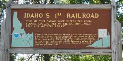
1. Idaho's 1st Railroad Marker
Construction, undertaken by a Mormon Co-op, came northward from a junction with the transcontinental line, but stopped in 1874 at Franklin on the Utah-Idaho border. Jay Gould, famous financier of the Union Pacific, took over in 1877: trains were passing here the next summer, and the rails reached Montana in 1880. New life for east Idaho followed the shrieking whistles of those little Utah and Northern trains.
Erected by Idaho Department of Transportation. (Marker Number 17.)
Topics and series. This historical marker is listed in this topic list: Railroads & Streetcars. In addition, it is included in the Idaho State Historical Society series list. A significant historical year for this entry is 1877.
Location. 42° 47.868′ N, 112° 15.714′ W. Marker is near Inkom, Idaho, in Bannock County. It is on Old Highway 91 (Grant Road) near Old Highway 30 West (Business Interstate 15), on the left when traveling north. Touch for map. Marker is in this post office area: Inkom ID 83245, United States of America. Touch for directions.

Regionally,
this page online
Other nearby markers. At least 8 other markers are within 9 miles of this marker, measured as the crow flies: First School House (approx. 0.8 miles away); Oregon Short Line & Union Pacific (approx. 3.6 miles away); Port of Entry (approx. 3.6 miles away); Utah and the Northern Railway (approx. 3.6 miles away); Why is Portneuf Gap Here? (approx. 4.4 miles away); Gateway to the Pacific Northwest (approx. 4.4 miles away); Copper Mines in the Pocatello Formation (approx. 4.4 miles away); Fort Hall (approx. 8.6 miles away).
Also see . . . Utah and Northern Railway - UtahRails.net. In 1889, Utah & Northern became part of Oregon Short Line & Utah Northern Railway, which was organized in July 1889 as a consolidation of the original 1881 Oregon Short Line Railway and six other UP-controlled railroads operating in Utah and Idaho. (Submitted on September 14, 2017, by Barry Swackhamer of Brentwood, California.)
Photographed by Barry Swackhamer, June 22, 2017
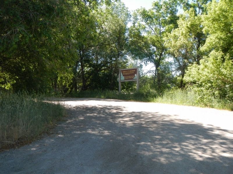
2. Idaho's 1st Railroad Marker
Photographed by Wikipeda
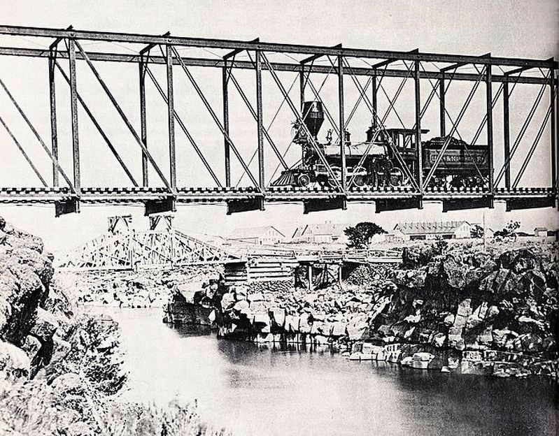
3. "Utah & Northern Bridge at Eagle Rock (Idaho Falls), Idaho circa 1880..."
Credits. This page was last revised on September 14, 2017. It was originally submitted on September 14, 2017, by Barry Swackhamer of Brentwood, California. This page has been viewed 1,278 times since then and 93 times this year. Photos: 1, 2, 3. submitted on September 14, 2017, by Barry Swackhamer of Brentwood, California.
