Colón, Querétaro, Mexico — The Central Highlands (North America)
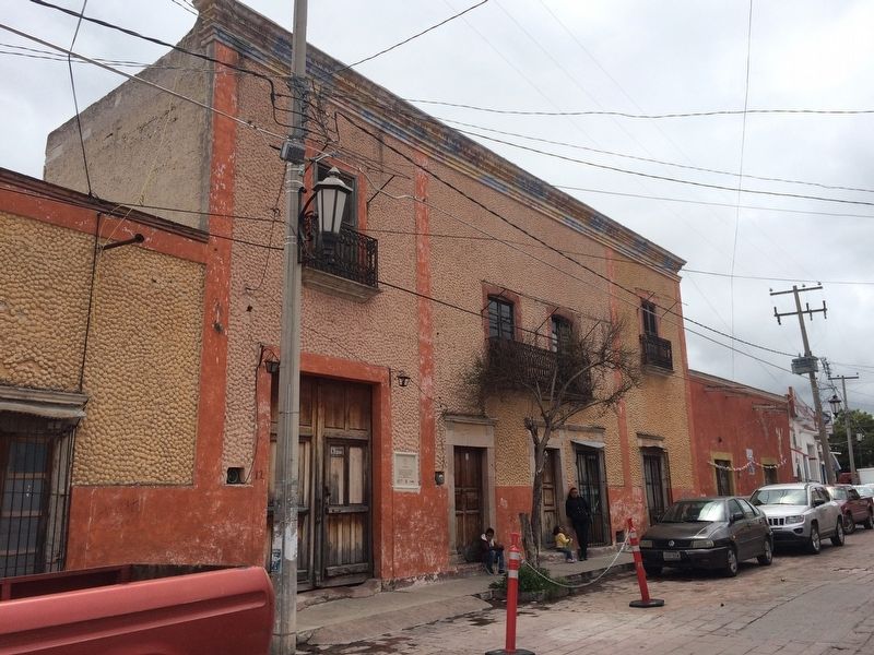
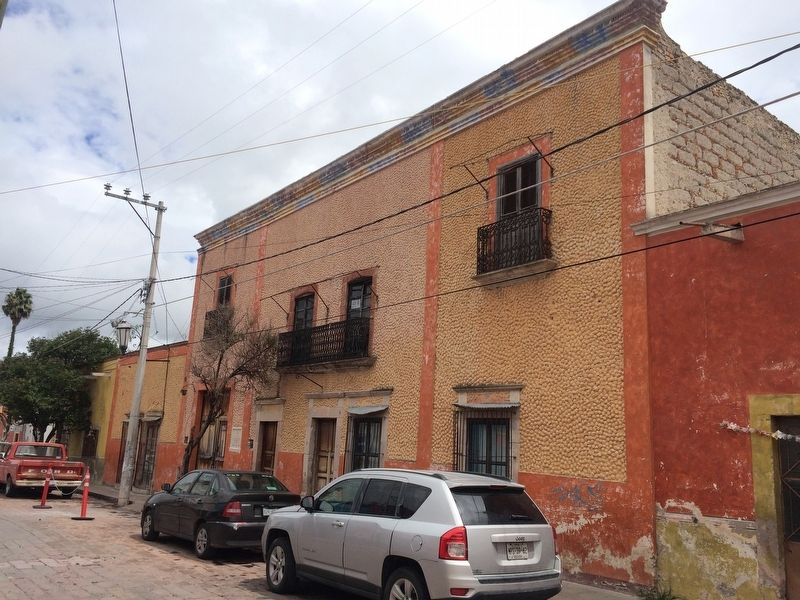
The Landaverde House
— Ruta Cristera —
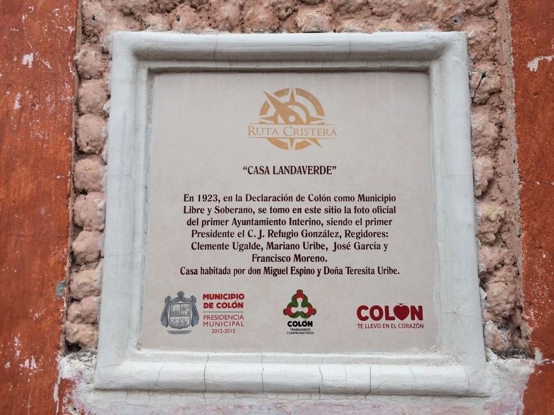
En 1923, en la Declaración de Colón como Municipio
Libre y Soberano, se tomo en este sitio la foto oficial
del primer Ayuntamiento Interino, siendo el primer
Presidente el C.J. Refugio González, Regidores:
Clemente Ugalde, Mariano Uribe, José García y
Francisco Moreno.
Casa habitada por don Miguel Espino y Doña Teresita Uribe.
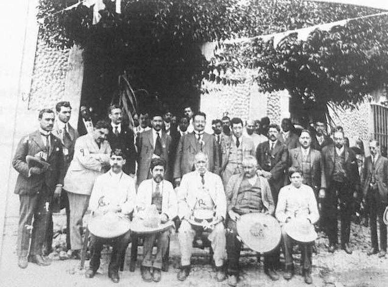
In 1923, as part of the Declaration of Colón as a Free and Sovereign Municipality, the official photo of the Interim Municipal Government was taken here, including Municipal President C.J. Refugio González and the Councilmen Clemente Ugalde, Mariano Uribe, José García and Francisco Moreno.
The house’s current residents are Miguel Espino and Teresita Uribe.
Erected by Municipio de Colón, Presidencia Municipal 2012-2015.
Topics. This historical marker is listed in these topic lists: Government & Politics • Man-Made Features. A significant historical year for this entry is 1923.
Location. 20° 47.272′ N, 100° 2.854′ W. Marker is in Colón, Querétaro. Marker is on Calle Álvaro Obregón just east of Calle Nueva, on the left when traveling east. Touch for map. Marker is in this post office area: Colón QUE 76270, Mexico. Touch for directions.
Other nearby markers. At least 8 other markers are within walking distance of this marker. Norberto García de la Vega (within shouting distance of this marker); "La Purísima" (about 90 meters away, measured in a direct line); Lieutenant Coronel Norberto García (about 120 meters away); "El Jardín Unión" (about 120 meters away); "Antiguo Hospital" (about 150 meters away); The Parish of San Francisco (about 180 meters away); Temple of San Francisco de Asís (about 210 meters away); "La Gaviota" (about 210 meters away). Touch for a list and map of all markers in Colón.

July 1, 1923
4. The photo of the Interim Municipal Government authorities mentioned on the marker
Note that the house's carriage doors are open. The unique stucco work on the house can also be seen in the photo. The different authorities have been identified by writing the first initial of their names on the photo.
Credits. This page was last revised on September 15, 2017. It was originally submitted on September 15, 2017, by J. Makali Bruton of Accra, Ghana. This page has been viewed 234 times since then and 18 times this year. Photos: 1, 2, 3, 4. submitted on September 15, 2017, by J. Makali Bruton of Accra, Ghana.


