Newdale in Fremont County, Idaho — The American West (Mountains)
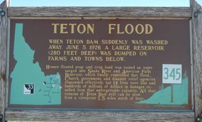
Teton Flood
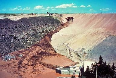
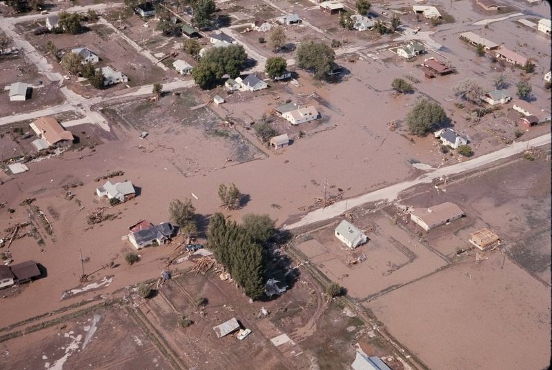
Houses floated away and crop land was ruined as water surged into Snake River and American Falls Reservoir, which finally controlled that flood. Church government, and disaster relief agencies responded effectively, but 14 lives were lost and hundreds of millions of dollars in damage resulted from that unforgettable calamity. All that remains of Teton Dam still can be seen from a viewpoint 1.5 miles north of here.
Erected by Idaho Department of Transportation. (Marker Number 345.)
Topics and series. This historical marker is listed in this topic list: Disasters. In addition, it is included in the Idaho State Historical Society series list. A significant historical date for this entry is June 5, 1976.
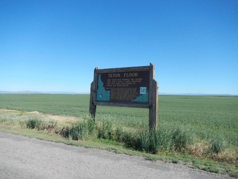
Location. 43° 52.998′ N, 111° 32.394′ W. Marker is in Newdale, Idaho, in Fremont County. Marker is at the intersection of Highway 33 at milepost 110 and Teton Dam Road, on the right when traveling west on Highway 33. Touch for map. Marker is at or near this postal address: 13213 Idaho Highway 33, Newdale ID 83436, United States of America. Touch for directions.
Other nearby markers. At least 7 other markers are within 15 miles of this marker, measured as the crow flies. Teton City Settlers (approx. 6.6 miles away); Pioneer Meeting House (approx. 9 miles away); Fort Henry (approx. 9 miles away); World War I Memorial (approx. 9 miles away); M60A3 Army Tank (approx. 9 miles away); Sugar City Sugar Beet Factory (approx. 10.2 miles away); Ashton-Marysville Area Pioneers (approx. 14.2 miles away).
Also see . . . Teton Dam - Wikipedia. The flood waters traveled west along the route of the Henry's fork of the Snake River, around both sides of the Menan Buttes, significantly damaging the community of Roberts. The city of Idaho Falls, even further down on the flood plain, had time to prepare. At the older American Falls Dam downstream, engineers increased discharge by less than 5% before the flood arrived.[17] That dam held and the flood was effectively over, but tens of thousands of acres of land near the river were stripped of fertile topsoil. (Submitted on September 16, 2017, by Barry Swackhamer of Brentwood, California.)
Credits. This page was last revised on September 16, 2017. It was originally submitted on September 16, 2017, by Barry Swackhamer of Brentwood, California. This page has been viewed 421 times since then and 53 times this year. Photos: 1, 2, 3, 4. submitted on September 16, 2017, by Barry Swackhamer of Brentwood, California.


