Bay St. Louis in Hancock County, Mississippi — The American South (East South Central)
Elmwood Manor
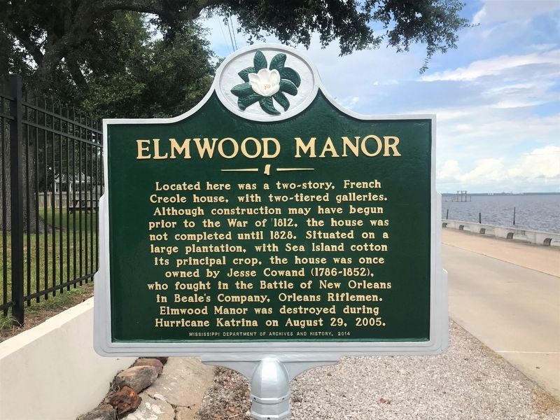
Photographed by Cajun Scrambler, September 16, 2017
1. Elmwood Manor Marker
Located here was a two-story, French Creole house, with two-tiered galleries. Although construction may have begun prior to the War of 1812, the house was not completed until 1828. Situated on a large plantation, with Sea Island cotton its principal crop, the house was once owned by Jesse Cowand (1786-1852), who fought in the Battle of New Orleans in Beale's Company, Orleans Riflemen. Elmwood Manor was destroyed during Hurricane Katrina on August 29, 2005.
Erected 2014 by Mississippi Department of Archives and History.
Topics and series. This historical marker is listed in these topic lists: Architecture • Disasters • Notable Buildings • War of 1812. In addition, it is included in the Mississippi State Historical Marker Program series list.
Location. 30° 19.77′ N, 89° 19.844′ W. Marker is in Bay St. Louis, Mississippi, in Hancock County. It is on North Beach Boulevard north of Boardman Avenue, on the left when traveling north. Touch for map. Marker is in this post office area: Bay Saint Louis MS 39520, United States of America. Touch for directions.

Regionally,
this page online
Other nearby markers. At least 8 other markers are within 2 miles of this marker, measured as the crow flies: Cedar Point (approx. half a mile away); St. Augustine’s Seminary (approx. 0.7 miles away); Publius Rutilius Rufus Pray (approx. 1.3 miles away); First Baptist Church of Bay St. Louis (approx. 1.3 miles away); Jean Baptiste le Moyne Siuer de Bienville (approx. 1.4 miles away); Hancock County Bank (approx. 1.4 miles away); 100 Men D.B.A. Hall (approx. 1.4 miles away); Old Shieldsborough (approx. 1.4 miles away). Touch for a list and map of all markers in Bay St. Louis.
Another marker is no longer nearby. Naval Battle of Bay St. Louis (was approx. 1.2 miles away but has been replaced with another
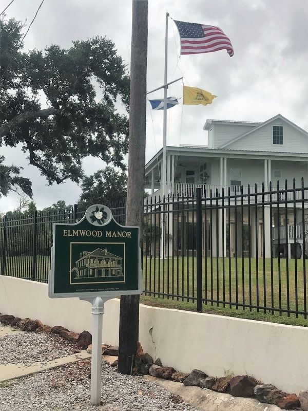
Photographed by Cajun Scrambler, September 16, 2017
2. Elmwood Manor Marker
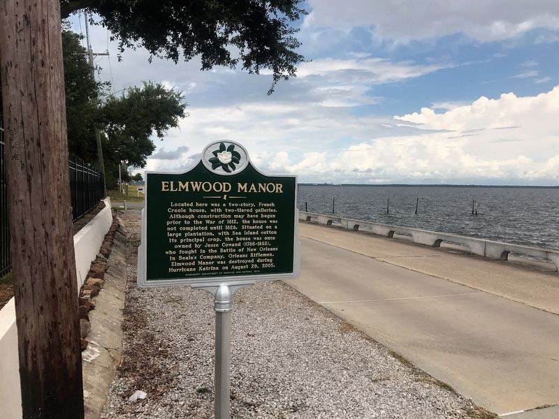
Photographed by Cajun Scrambler, September 16, 2017
3. Elmwood Manor Marker
Credits. This page was last revised on July 4, 2022. It was originally submitted on September 17, 2017, by Cajun Scrambler of Assumption, Louisiana. This page has been viewed 988 times since then and 58 times this year. Photos: 1, 2, 3. submitted on September 17, 2017.
