Islip in Suffolk County, New York — The American Northeast (Mid-Atlantic)
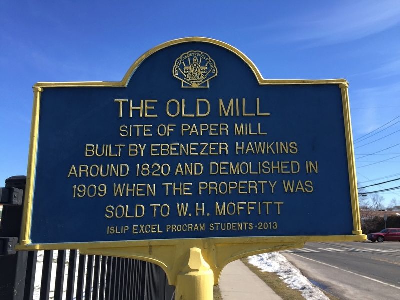
The Old Mill
Photographed by Andrew Ruppenstein, February 16, 2017
1. The Old Mill Marker
built by Ebenezer Hawkins
around 1820 and demolished in
1909 when the property was
sold to W.H. Moffitt
Erected 2013 by Islip EXCEL Program Students.
Topics. This historical marker is listed in this topic list: Industry & Commerce.
Location. 40° 43.683′ N, 73° 13.466′ W. Marker is in Islip, New York, in Suffolk County. It is on Main Street (Montauk Highway) east of Degnon Boulevard, on the right when traveling west. Touch for map. Marker is at or near this postal address: 211 East Main Street, Islip NY 11751, United States of America. Touch for directions.

Regionally, this marker is in the New York City Metropolitan Area and on Long Island. It is also in the American Northeast, in the Mid-Atlantic, and on the Eastern Seaboard. Globally, it is in the North Atlantic Region, North America, the Western Hemisphere, the Western World, and the Anglosphere. Historically, it finds itself in what was once New Netherland and also one of the original Thirteen Colonies.
Other nearby markers. At least 8 other markers are within walking
this page online
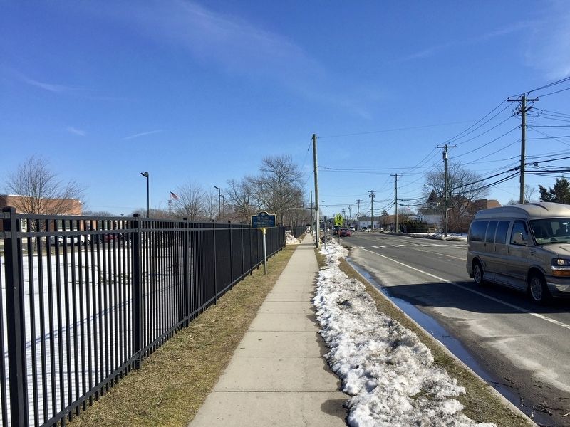
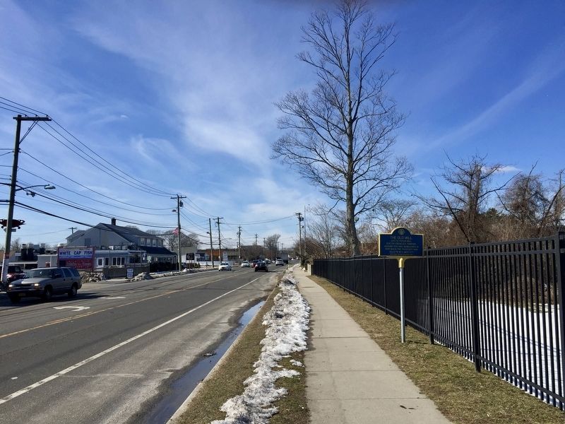
More about this marker. The marker is on the north side of Montauk Highway, just outside the grounds of Islip Middle School.
Also see . . . The Old Paper Mill (Historical Society of Islip Hamlet). (Submitted on September 19, 2017.)
Photographed by Andrew Ruppenstein, February 16, 2017
2. The Old Mill Marker - Wide View, Looking East on Montauk Highway
Photographed by Andrew Ruppenstein, February 16, 2017
3. The Old Mill Marker - Wide View, Looking West on Montauk Highway
Credits. This page was last revised on December 23, 2025. It was originally submitted on September 19, 2017, by Andrew Ruppenstein of Lamorinda, California. This page has been viewed 410 times since then and 42 times this year. Photos: 1, 2, 3. submitted on September 19, 2017, by Andrew Ruppenstein of Lamorinda, California.
