Near Fort Hall in Bingham County, Idaho — The American West (Mountains)
Shoshone-Bannock Tribes: Beyond the Reservation
Photographed by Barry Swackhamer, June 22, 2017
1. Shoshone-Bannock Tribes: Beyond the Reservation Marker
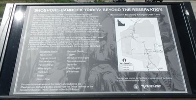
Caption: (map on right) Reservation Boundary Changes Over Time.
The Fort Bridger Treaty of 1868 and the Soda Springs Treaty of 1863 were negotiated among the chiefs of the many bands of Shoshone and Bannocks who occupied a broad geographic area that today includes California, Idaho, Montana, Oregon, Utah, Wyoming, and parts of Canada and Mexico. The chiefs who signed the treaty were identified as follows:
Shoshone Bands: Wash-a-Kie, Toop-se-po-wot, Taboonshe-ya, Pan-to-she-ga, Wau-ny-pitz, Nark-kok,
this page online
Bannock Bands: Taggee, We-rat-ze-won-a-gen, Pan-sook-a-motse, Tay-to-ba, Coo-sha-gan, A-wite-etse
For more information about the history and culture of the Shoshone and Bannock people, please visit the Tribes' website or the Shoshone-Bannock Tribal Museum at Fort Hall, Idaho.
Erected by PacifiCorp.
Topics. This historical marker is listed in this topic list: Indigenous Peoples and Communities. A significant historical year for this entry is 1863.
Location. 43° 1.294′ N, 112° 24.657′ W. Marker is near Fort Hall, Idaho, in Bingham County. It can be reached from Ross Fort (Simplot) Road near Interstate 15, on the left when traveling west. Touch for map. Marker is in this post office area: Fort Hall ID 83203, United States of America. Touch for directions.

Regionally, this marker is in Eastern Idaho and the Yellowstone Fringe and on the Shoshone-Bannock Fort Hall Reservation. It is also in the American Mountain West. Globally, it is in North America, the Western Hemisphere, the Western World, and the Anglosphere.
Other nearby markers. At least 8 other markers are within 11 miles of this marker,
Photographed by Barry Swackhamer, June 22, 2017
2. Shoshone-Bannock Tribes: Beyond the Reservation Marker
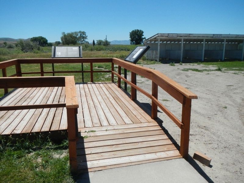
The marker is on the right.
More about this marker. This marker is located at the Shoshone-Bannock Information Center near the Ross Fork (Simplot) Road exit (Exit 80) of Interstate 15.
Credits. This page was last revised on September 20, 2017. It was originally submitted on September 20, 2017, by Barry Swackhamer of Brentwood, California. This page has been viewed 818 times since then and 31 times this year. Photos: 1, 2. submitted on September 20, 2017, by Barry Swackhamer of Brentwood, California.
