
Mansfield in Newton County, Georgia — The American South (South Atlantic)
Mansfield's First School
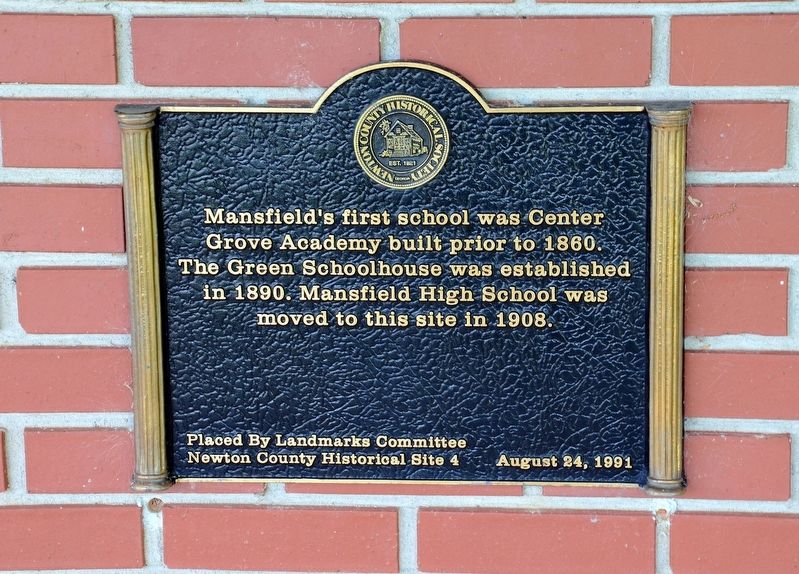
Photographed by David Seibert, May 25, 2013
1. Mansfield's First School Marker
Erected 1991 by The Landmarks Committee, Newton County Historical Society. (Marker Number 4.)
Topics. This historical marker is listed in this topic list: Education.
Location. 33° 31.233′ N, 83° 44.017′ W. Marker is in Mansfield, Georgia, in Newton County. It is at the intersection of East Third Avenue and Poplar Street, on the left when traveling east on East Third Avenue. The marker is located inside a circular drive at the entrance of the school. Touch for map. Marker is at or near this postal address: 45 East Third Avenue, Mansfield GA 30055, United States of America. Touch for directions.

Regionally, this marker is in Georgia’s Piedmont and in Metro Atlanta. It is also in the American South and specifically in the Deep South. Globally, it is in North America, the Western Hemisphere, the Western World, and the Anglosphere. Historically, it finds itself in what was once the
this page online
Other nearby markers. At least 8 other markers are within 6 miles of this marker, measured as the crow flies: Mansfield's Famous Southpaw (approx. ¼ mile away); Newborn (approx. 2½ miles away); The Old Loyd Place (approx. 2.9 miles away); Charlie Elliott's Internment Site (approx. 4 miles away); Old Starrsville Store (approx. 4.2 miles away); Dow’s Pulpit (approx. 4.6 miles away); Trail of the Stage Coach Cross Roads (approx. 5.7 miles away); Brick Store (approx. 5.7 miles away). Touch for a list and map of all markers in Mansfield.
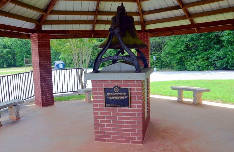
Photographed by David Seibert, May 25, 2013
2. Mansfield's First School Marker
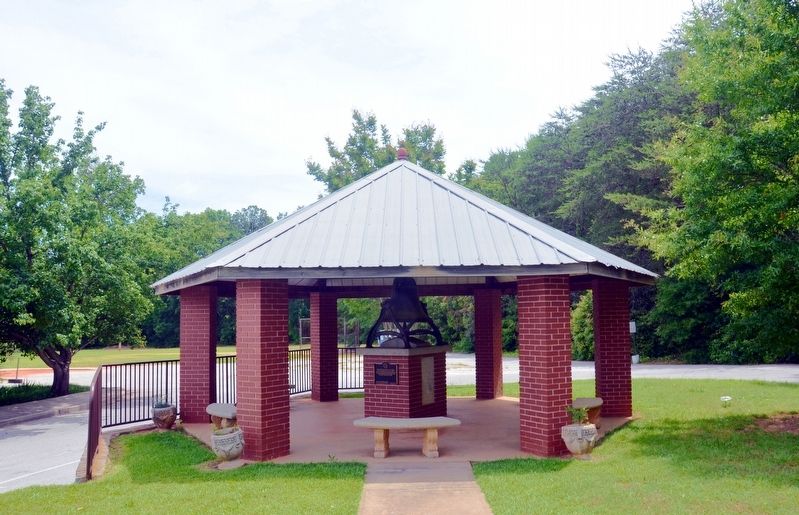
Photographed by David Seibert, May 25, 2013
3. Mansfield's First School Marker
Credits. This page was last revised on September 24, 2017. It was originally submitted on September 24, 2017, by David Seibert of Sandy Springs, Georgia. This page has been viewed 583 times since then and 15 times this year. Photos: 1, 2, 3. submitted on September 24, 2017, by David Seibert of Sandy Springs, Georgia.
