
Seneca in Grant County, Oregon — The American West (Northwest)
From Logging Camp to a Town

Photographed by Don Hann
1. From Logging Camp to a Town Marker
After spending a day skidding logs, laying track or building Seneca's first homes, the workers needed a place to call home; temporarily at least.
In 1928 "Camp One" was established southwest of here, and with boxcars for homes, commissary, store, electricity, and running water, it was quite a logging camp! Gradually logs became lumber, and lumber became buildings, and by 1931, Camp One was no more, the town of Seneca having risen from the valley floor.
The harsh times of the 1930's gave way to increased demand for lumber from World War II onwards.
A new steam-heated, wood-paneled hotel became home to loggers who, so unused to the luxury, named it the "Waldorf-Astoria." Kids swam in the pool heated by the nearby locomotive shop. Labor Day picnics for Hines Company employees were the norm. The company newspaper carried cheery words:
"...it's sweet music to hear the wail of the locomotive whistling for the highway crossing into town, and count the number of log cars bound for the mill in Hines. While the mill seems to have an insatiable appetite for logs, the loggers have vowed to stuff it full to the gills..."
- Hines Log, July 1951.
this page online
Erected by Malheur National Forest.
Topics. This historical marker is listed in these topic lists: Horticulture & Forestry • Railroads & Streetcars. A significant historical month for this entry is July 1951.
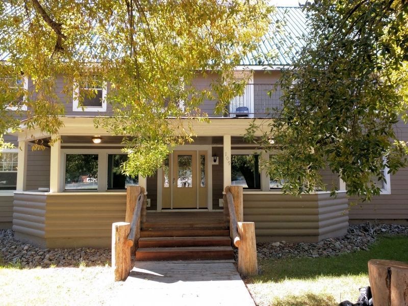
Location. 44° 8.112′ N, 118° 58.346′ W. Marker is in Seneca, Oregon, in Grant County. It is on Barnes Avenue (U.S. 395), on the right when traveling south. Marker is on the fence near the front steps of the historic Seneca Hotel. Touch for map. Marker is in this post office area: Seneca OR 97873, United States of America. Touch for directions.

Regionally, this marker is in Eastern Oregon. It is also in the American Mountain West and in the Lewis & Clark Corridor. Globally, it is in North America, the Pacific Rim, the Western Hemisphere, the Western World, and the Anglosphere.
Other nearby markers. At least one other marker is within walking distance of this marker: Changing Times in Bear Valley (approx. 0.2 miles away).
Photographed by Don Hann
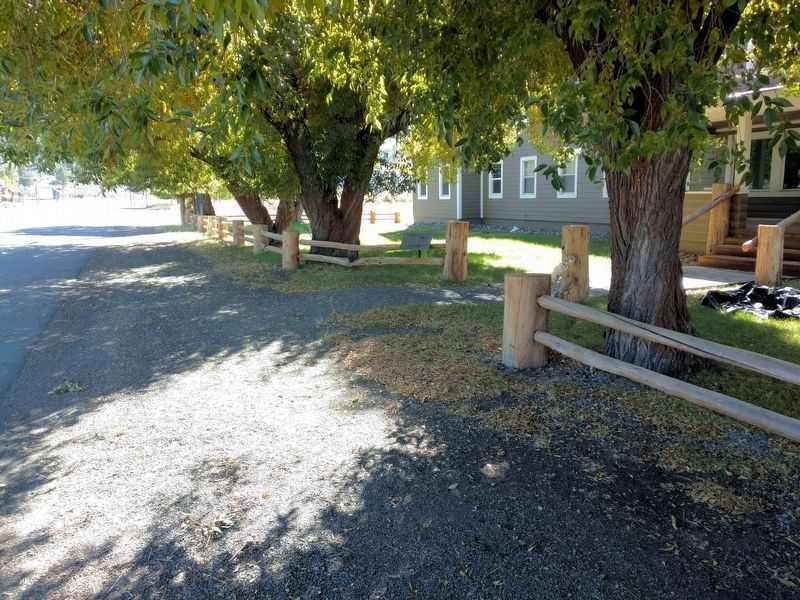
2. From Logging Camp to a Town Marker
Marker is mounted on the fence to the left of the entrance path.
Photographed by Don Hann
3. Front Entrance of Historic Seneca Hotel
Photographed by Don Hann
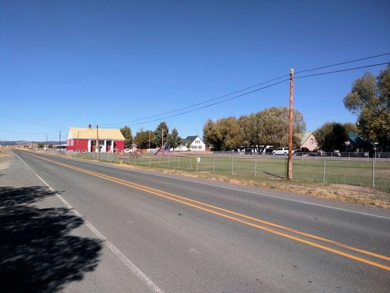
4. Seneca School Built by the Hines Lumber Company for Their Workers.
Credits. This page was last revised on October 6, 2017. It was originally submitted on September 28, 2017, by Don Hann of Canyon City, Oregon. This page has been viewed 461 times since then and 44 times this year. Photos: 1, 2, 3, 4. submitted on September 28, 2017, by Don Hann of Canyon City, Oregon. • Syd Whittle was the editor who published this page.
