
Binnenstad in Amsterdam, North Holland, Netherlands — Northwestern Europe
Schreierstoren
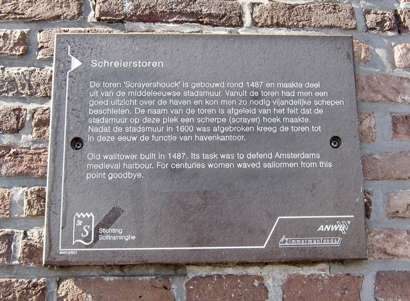
Photographed by Andrew Ruppenstein, June 18, 2017
1. Schreierstoren Marker

Erected by The ANWB, Zimmermanfonds, Stichting Sciltraminghe. (Marker Number 64610/001.)
Topics. This historical marker is listed in this topic list: Forts and Castles. A significant historical year for this entry is 1487.
Location. 52° 22.59′ N, 4° 54.137′ E. Marker is in Amsterdam, Noord-Holland (North Holland). It is in Binnenstad. It is at the intersection of Prins Hendrikkade and Gelderskade, on the right when traveling west on Prins Hendrikkade. Touch for map. Marker is in this post office area: Amsterdam, Noord-Holland 1011 EH, Netherlands. Touch for directions.

Regionally, it is in Europe, the European Union, Atlantic Europe, the Benelux Low Countries, the Schengen Area, Western
this page online
Other nearby markers. At least 8 other markers are within walking distance of this marker: Henry Hudson (a few steps from this marker); " 'T Saligh Roemers Huys / The Delightful House of Roemer (within shouting distance of this marker); Spoorviaduct Oostertoegang Centraal Station / Railway Viaduct, Eastern Entrance, Central Station (about 150 meters away, measured in a direct line); Sint Olofskapel / Saint Olof's Chapel (about 150 meters away); Chet Baker (about 180 meters away); Majoor Bosshardthuis (about 180 meters away); Bet van Beeren (about 210 meters away); Long-time Apothecary (approx. 0.3 kilometers away). Touch for a list and map of all markers in Amsterdam.
Also see . . .
1. Schreierstoren (Weepers Tower) (YouTube, Map-of-Amsteram, 2.5 mins.). (Submitted on September 29, 2017.)
2. Schreierstoren (Wikipedia). "The Schreierstoren (English incorrectly translated as: Weeper's Tower), originally part of the medieval city wall of Amsterdam, the Netherlands, was built in the 15th century. It was the location from which Henry Hudson set sail on his journey to Northern America. This expedition would lead to the discovery of the island of Manhattan among others.
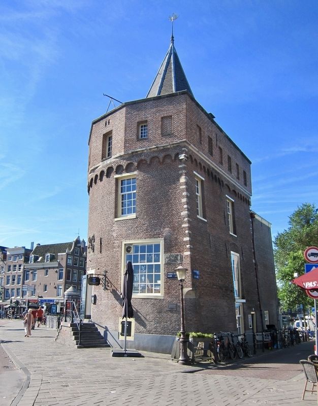
Photographed by Andrew Ruppenstein, June 18, 2017
2. Schreierstoren and Marker - Wide View
The marker is visible here, just to the left of the lamppost.
3. The true story behind Amsterdam’s Schreierstoren (Dutch Amsterdam). "Around 1380, a dyke was built at the outskirts of Amsterdam in order to defend the growing city against what was then the sea. This dyke is today’s Zeedijk, a lively street on the outskirts of the Red Light District. Once the domain of junkies, the street is now home to fashion shops, bars, and Chinese restaurants. As the Amsterdam’s trade and harbor grew, a defense wall was built in 1481. Today the Schreierstoren and De Waag are the only structures left from that wall." (Submitted on September 29, 2017.)
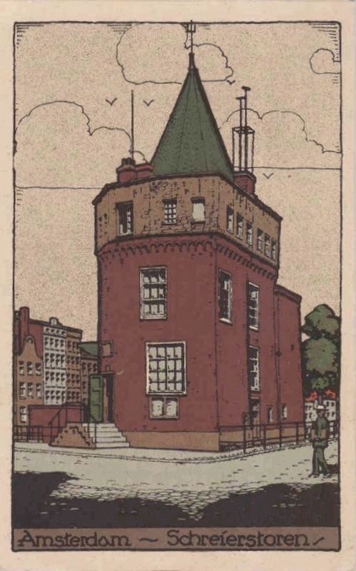
Postcard published by Maatschapplj Rembrandt, Utrecht, circa 1925
3. Amsterdam - Schreierstoren
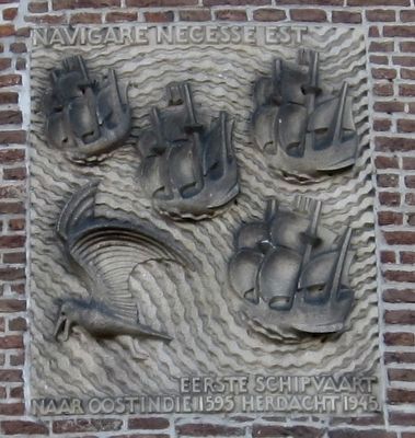
Photographed by Andrew Ruppenstein, June 17, 2017
4. Schreierstoren - Decorative Detail
Above the entrance to the cafe in the tower is a plaque commemorating the 350th anniversary (i.e. 1595-1945) of the first sailing expedition to the East Indies.
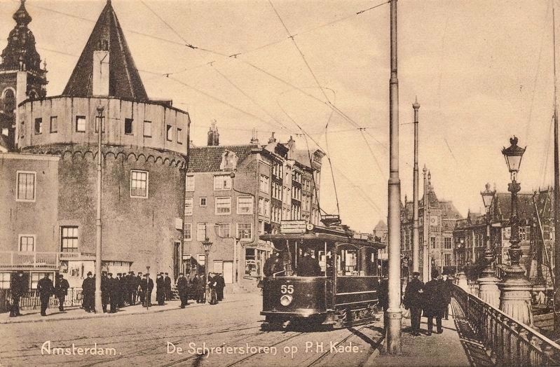
circa 1920
5. Amsterdam. Schreierstoren op P.H. Kade
Credits. This page was last revised on February 3, 2023. It was originally submitted on September 29, 2017, by Andrew Ruppenstein of Lamorinda, California. This page has been viewed 514 times since then and 22 times this year. Photos: 1, 2, 3, 4, 5. submitted on September 29, 2017, by Andrew Ruppenstein of Lamorinda, California.
