
Belmont in Gaston County, North Carolina — The American South (South Atlantic)
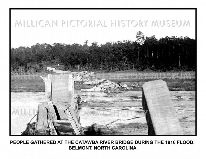
Flood of 1916
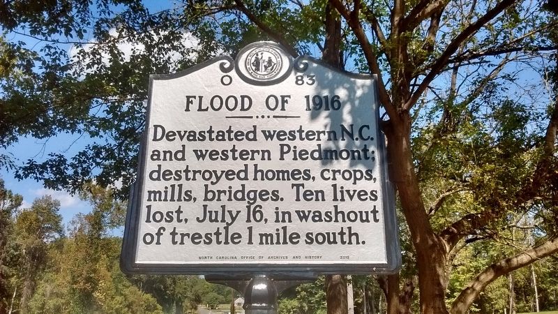
Photographed by Tom Bosse, September 28, 2017
1. Flood of 1916 Marker
Erected 2015 by North Carolina Office of Archives and History. (Marker Number O-83.)
Topics and series. This historical marker is listed in this topic list: Disasters. In addition, it is included in the North Carolina Division of Archives and History series list. A significant historical date for this entry is July 16, 1916.
Location. 35° 14.674′ N, 81° 0.838′ W. Marker is in Belmont, North Carolina, in Gaston County. It is on Catawba Street (State Highway 7) 0.1 miles south of Wilkinson Boulevard (U.S. 74), on the right when traveling north. Marker located at Kevin Loftin Riverfront Park. Touch for map. Marker is at or near this postal address: 1400 Catawba Street, Belmont NC 28012, United States of America. Touch for directions.

Regionally, this marker is in the Piedmont and in Greater Charlotte. It is also in the American South and specifically in the Upper South. Globally, it is in North America, the Western Hemisphere, the Western World, and the Anglosphere. Historically,
this page online
Other nearby markers. At least 8 other markers are within 2 miles of this marker, measured as the crow flies: Goshen Presbyterian Church (approx. 1.2 miles away); William Chronicle (approx. 1.3 miles away); Piedmont & Northern RR Depot (approx. 1.4 miles away); Belmont City Hall (approx. 1.4 miles away); Belmont World War II Memorial (approx. 1.4 miles away); S.P. & E.P. Stowe House (approx. 1.6 miles away); Belmont Abbey College (approx. 1.7 miles away); André Michaux Visit (approx. 2 miles away). Touch for a list and map of all markers in Belmont.
Also see . . . Hell and High Water: The Flood of 1916. (Submitted on September 30, 2017, by Tom Bosse of Jefferson City, Tennessee.)
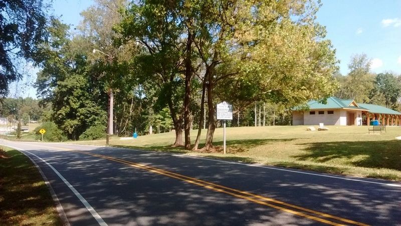
Photographed by Tom Bosse, September 28, 2017
2. Flood of 1916 Marker
Photographed by Tom Bosse
3. Flood of 1916 - Belmont, NC
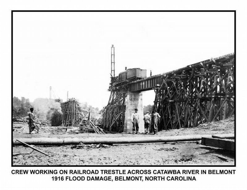
Photographed by Tom Bosse
4. Flood of 1916 - Belmont, NC
Photographed by Tom Bosse
5. Flood of 1916 - Belmont, NC
Credits. This page was last revised on June 29, 2021. It was originally submitted on September 30, 2017, by Tom Bosse of Jefferson City, Tennessee. This page has been viewed 888 times since then and 36 times this year. Photos: 1, 2, 3, 4, 5. submitted on September 30, 2017, by Tom Bosse of Jefferson City, Tennessee. • Bernard Fisher was the editor who published this page.
