Near Cache in Comanche County, Oklahoma — The American South (West South Central)
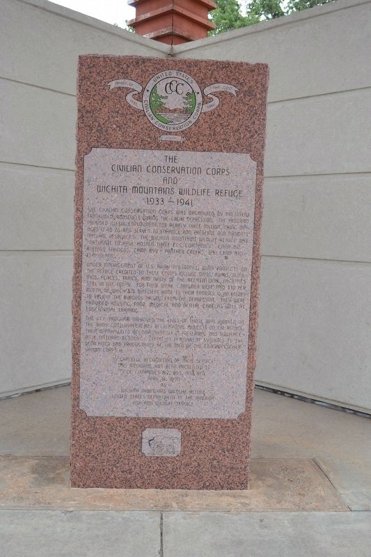
The Civilian Conservation Corps and Wichita Mountains Wildlife Refuge
1933 - 1941
Photographed by Duane Hall, September 30, 2017
1. The Civilian Conservation Corps and Wichita Mountains Wildlife Refuge Marker
Under management of U.S. Army personnel, work projects on the refuge credited to these camps include dams, roads, buildings, fences, trails, and many of the recreational facilities still in use today. For their work, corpsmen were paid $30 per month of which $25 was sent home to their families in an effort to relieve the burdens arising from the Depression. They were provided housing, food, medical and dental care as well as educational training.
The CCC program improved the lives the those who worked on the many conservation and recreational projects on the refuge. Their unparalleled accomplishments in preserving this irreplaceable natural resource stand as permanent symbols to the dedication and productivity of the men of the Civilian Conservation Corps.
by
Wichita Mountains Wildlife Refuge
United States Department of Interior
Fish and Wildlife Service
Erected 1990 by Wichita Mountains Wildlife Refuge.
Topics and series. This historical marker is listed in this topic list: Natural Resources. In addition, it is included in the Civilian Conservation Corps (CCC) series list. A significant historical year for this entry is 1933.
Location. 34° 42.627′ N, 98° 37.398′ W. Marker is near Cache, Oklahoma, in Comanche County. It can be reached from Unnamed
this page online

Regionally, this marker is in Oklahoma’s Kiowa Tribe, in the Comanche Nation, and in Southwest Oklahoma. It is also in the American South, specifically on the prairies, and on the Southern Plains. Globally, it is in North America, the Western Hemisphere, the Western World, and the Anglosphere. Historically, it finds itself in what was once New Spain, the Comanchería, the territory of the Mississippian Culture, and the Louisiana Purchase.
Other nearby markers. At least 6 other markers are within 12 miles of this marker, measured as the crow flies: Ancient Natural Refuge (approx. 1.1 miles away); Historic Homesteads (approx. 1.1 miles away); The New Deal Comes to the Refuge (approx. 1.1 miles away); Ferguson House (approx. 1.1 miles away); Chief Stumbling Bear Pass (approx. 8.7 miles away); Cpt Riley L. Pitts (approx.
Photographed by Duane Hall, September 30, 2017
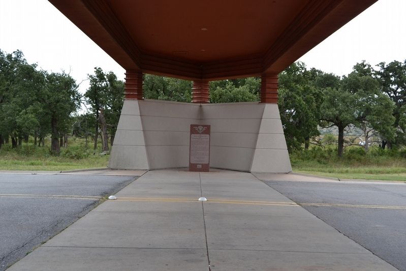
2. Marker Underneath Visitor Center Porte Cochere
Also see . . . Wichita Mountains Wildlife Refuge. From the official U.S. Fish and Wildlife Service website. (Submitted on October 4, 2017.)
Photographed by Duane Hall, September 30, 2017
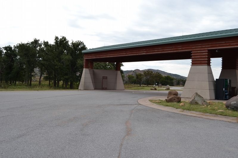
3. Visitor Center Porte Cochere
Credits. This page was last revised on October 4, 2017. It was originally submitted on October 4, 2017, by Duane Hall of Abilene, Texas. This page has been viewed 973 times since then and 68 times this year. Photos: 1, 2, 3. submitted on October 4, 2017, by Duane Hall of Abilene, Texas.
