
Ortonville in Oakland County, Michigan — The American Midwest (Great Lakes)
Ortonville Methodist Episcopal Church
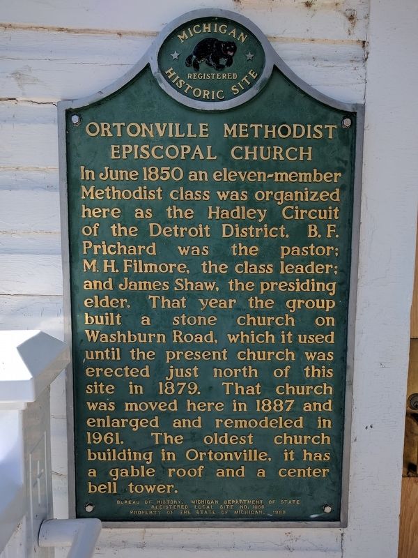
Photographed by Joel Seewald, October 5, 2017
1. Ortonville Methodist Episcopal Church Marker
Erected 1988 by Bureau of History, Michigan Department of State. (Marker Number L1066.)
Topics. This historical marker is listed in this topic list: Religion & Religious Structures. A significant historical month for this entry is June 1850.
Location. 42° 51.21′ N, 83° 26.573′ W. Marker is in Ortonville, Michigan, in Oakland County. It is at the intersection of Church Street and Schoolhouse Street, on the left when traveling north on Church Street. Touch for map. Marker is at or near this postal address: 93 Church Street, Ortonville MI 48462, United States of America. Touch for directions.

Regionally, this marker is
this page online
Other nearby markers. At least 8 other markers are within 8 miles of this marker, measured as the crow flies: Ortonville World War I Memorial (about 500 feet away, measured in a direct line); Ortonville Veterans Memorial (about 600 feet away); Amos Orton's Grist Mill (approx. 0.2 miles away); Mann School (approx. 0.2 miles away); Seymour Lake Methodist Episcopal Church (approx. 4.7 miles away); Welcome to Sutherland Nature Sanctuary (approx. 6.9 miles away); Helen Smith Park (approx. 7.6 miles away); Dr. Charles Gray Robertson (approx. 8 miles away). Touch for a list and map of all markers in Ortonville.
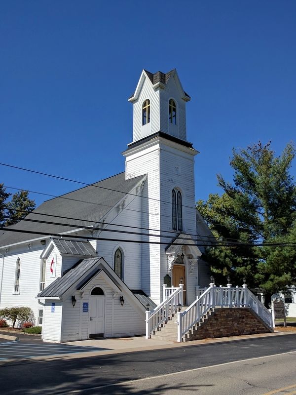
Photographed by Joel Seewald, October 5, 2017
2. Ortonville Methodist Episcopal Church and Marker
View from the southeast.
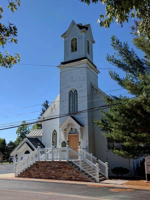
Photographed by Joel Seewald, October 5, 2017
3. Ortonville Methodist Episcopal Church and Marker
View from the northeast.
Credits. This page was last revised on February 12, 2023. It was originally submitted on October 6, 2017, by Joel Seewald of Madison Heights, Michigan. This page has been viewed 412 times since then and 19 times this year. Photos: 1, 2, 3. submitted on October 6, 2017, by Joel Seewald of Madison Heights, Michigan.
