Grand Canyon Village in Coconino County, Arizona — The American Mountains (Southwest)
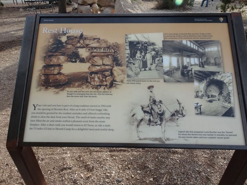
Rest House
Photographed by Denise Boose, December 9, 2016
1. Rest House Marker
Erected by National Park Service, U.S. Department of the Interior.
Topics and series. This historical marker is listed in this topic list: Notable Places. In addition, it is included in the National Historic Landmarks series list. A significant historical year for this entry is 1914.
Location. 36° 3.736′ N, 112° 12.655′ W. Marker is in Grand Canyon Village, Arizona, in Coconino County. It is on Hermits Road, on the right when traveling south. This is at the end of Hermits Road at the entrance of Hermits Rest. Touch for map. Marker is at or near this postal address: Hermits Road, Grand Canyon AZ 86023, United States of America.
this page online

Regionally, this marker is in Flagstaff & High Country and in Hopi. It is also in the American Southwest, in the Mountain West, on the Colorado Plateau, and at the Four Corners. Globally, it is in North America, the Western Hemisphere, the Western World, and the Anglosphere. Historically, it finds itself in what was once New Spain and also Mexico’s Alta California.
Other nearby markers. At least 8 other markers are within 4 miles of this marker, measured as the crow flies: Hermit's Rest (here, next to this marker); A Trail, a Camp, and a "Hermit" (approx. 0.9 miles away); The Best Section (approx. 0.9 miles away); Hermit Camp (approx. 0.9 miles away); Down Memory Lane (approx. 1.1 miles away); Colonel Claude Hale Birdseye (approx. 3.2 miles away); Orphan Mine (approx. 3.4 miles away); Early Explorer (approx. 3.4 miles away).
Photographed by Denise Boose, December 9, 2016
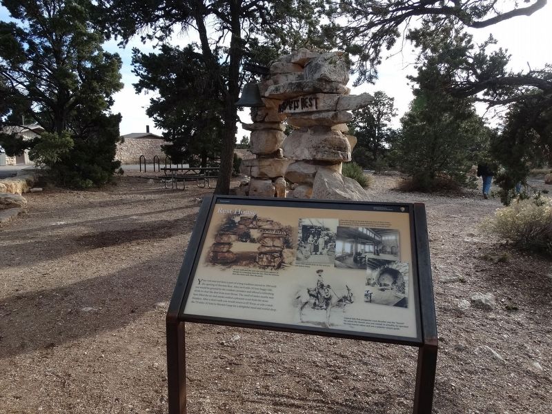
2. Rest House Marker

Photographed by Denise Boose, December 9, 2016
3. National Historic Landmark
Photographed by Denise Boose, December 9, 2016
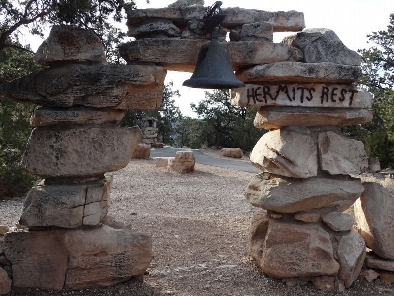
4. Rest House Marker
Photographed by Denise Boose, December 9, 2016
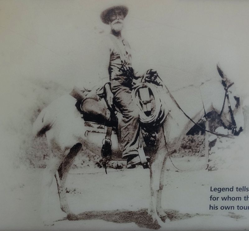
5. Louis Boucher
Legend tells that prospector Louis Boucher was the "hermit" for whom the Hermit area was named. In actuality, he operated his own tourist cabins and was a popular canyon guide.
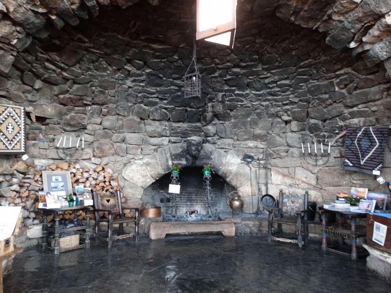
Photographed by Denise Boose, December 9, 2016
6. Inside the Hermist Rest House
The rustice design of Hermits Rest was that of Mary Colter, a poineering architect whose distinctive style helped shape architecture of the Southwest and the national parks.
Credits. This page was last revised on September 11, 2026. It was originally submitted on October 7, 2017, by Denise Boose of Tehachapi, California. This page has been viewed 424 times since then and 22 times this year. Photos: 1, 2, 3, 4, 5, 6. submitted on October 7, 2017, by Denise Boose of Tehachapi, California. • Bill Pfingsten was the editor who published this page.
