
Orphan Mine
Grand Canyon
| — | National Park Service, U.S. Department of the Interior | — |
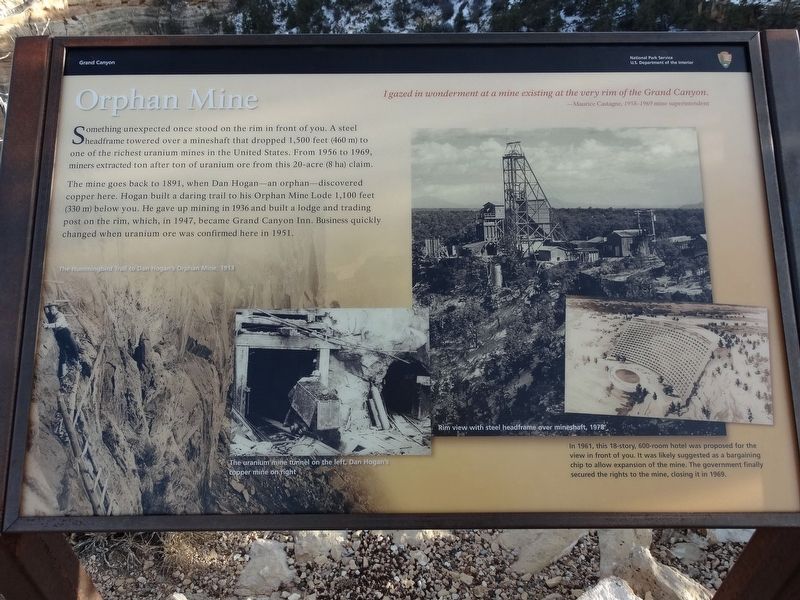
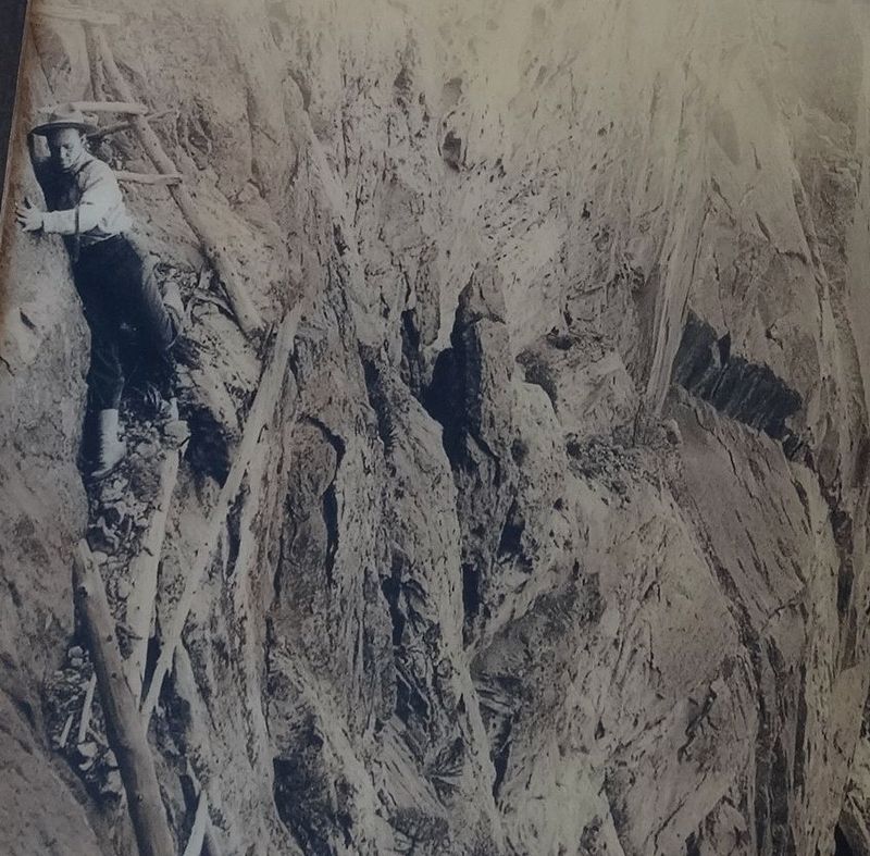
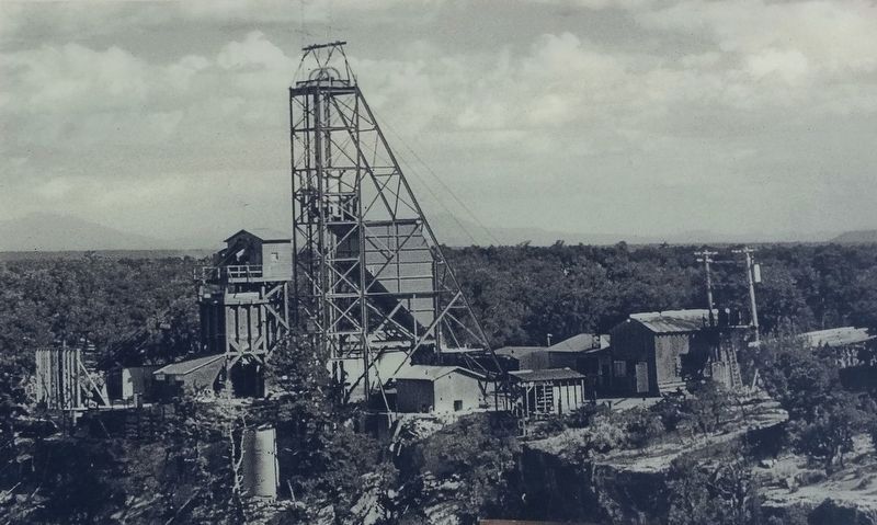
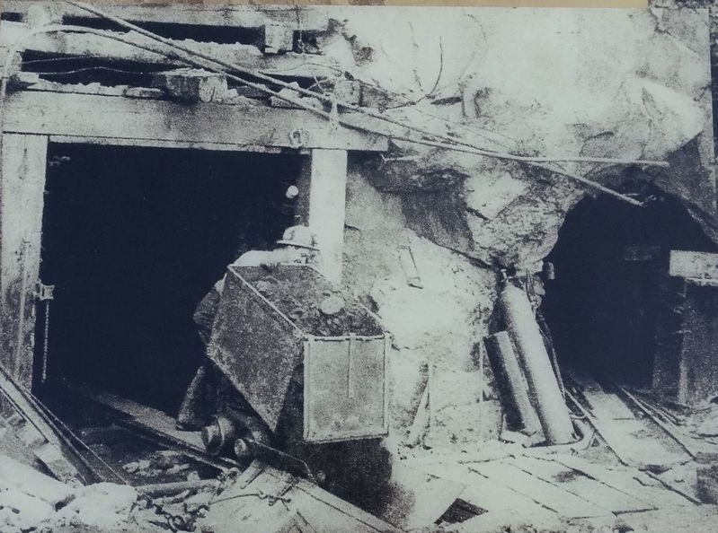
The mine goes back to 1891, when Dan Hogan-an orphan-discovered copper here. Hogan built a daring trail to his Orphan Mine Lode 1,000 feet (330 m) below you. He gave up mining in 1936 and built a lodge and trading post on the rim, which, in 1947, became Grand Canyon Inn. Business quickly changed when uranium ore was confirmed here in 1951.
I gazed in wonderment at a mine existing at the very rim of the Grand Canyon.
Maurice Castagne, 1958-1969 Mine Superintendent
Erected by National Park Service, U.S. Department of the Interior.
Topics. This historical marker is listed in this topic list: Industry & Commerce. A significant historical year for this entry is 1956.
Location. 36° 4.359′ N, 112° 9.108′ W. Marker is in Grand Canyon National Park, Arizona, in Coconino County. It is on Hermits Road, on the right when traveling east. Located
this page online

Regionally, this marker is in Flagstaff & High Country and in Hopi. It is also in the American Southwest, in the Mountain West, on the Colorado Plateau, and at the Four Corners. Globally, it is in North America, the Western Hemisphere, the Western World, and the Anglosphere. Historically, it finds itself in what was once New Spain and also Mexico’s Alta California.
Other nearby markers. At least 8 other markers are within 2 miles of this marker, measured as the crow flies: Early Explorer (within shouting distance of this marker); Colonel Claude Hale Birdseye (approx. 0.2 miles away); Kolb Studio (approx. 1.1 miles away); Hermit Road (approx. 1.1 miles away); Historic Kolb Studio (approx. 1.1 miles away); Bright Angel Trail (approx. 1.2 miles away); Mules and the Canyon (approx. 1.2 miles away); Grand Canyon Village (approx. 1.2 miles away). Touch for a list and map of all markers in Grand Canyon National Park.
Credits. This page was last revised on November 2, 2019. It was originally submitted on October 7, 2017, by Denise Boose of Tehachapi, California. This page has been viewed 1,074 times since then and 102 times this year. Photos: 1, 2, 3, 4, 5. submitted on October 7, 2017, by Denise Boose of Tehachapi, California. • Bill Pfingsten was the editor who published this page.
