Near Bangs in Knox County, Ohio — The American Midwest (Great Lakes)
Knox County Poor Farm / Knox County Infirmary
Inscription.
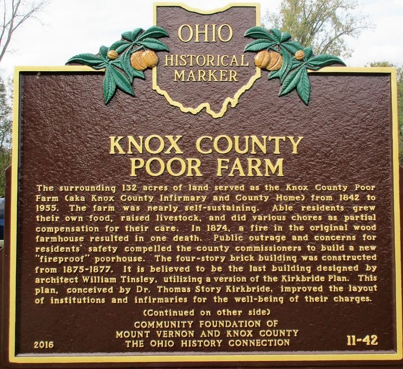
Knox County Poor Farm
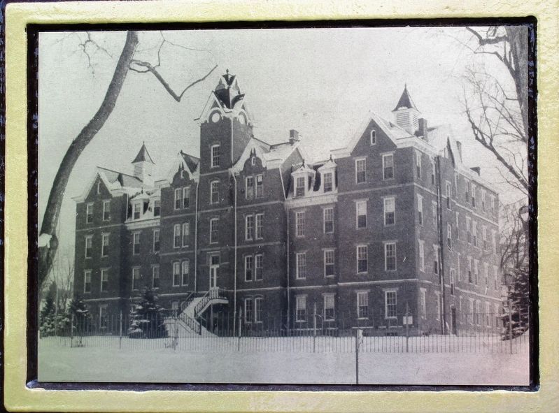
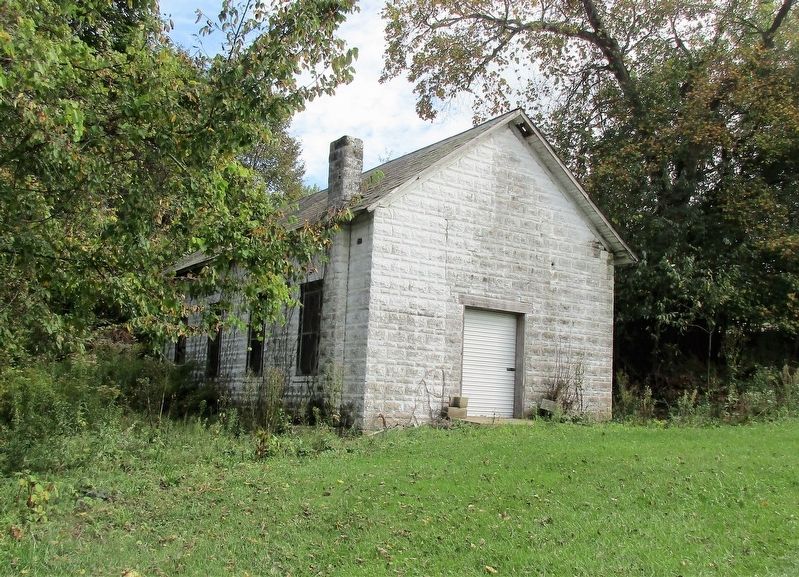
The surrounding 132 acres of land served as the Knox County Poor Farm (aka Knox County Infirmary and County Home) from 1842 to 1955. The farm was nearly self-sustaining. Able residents grew their own food, raised livestock, and did various chores as partial compensation for their care. In 1874, a fire in the original wood farmhouse resulted in one death. Public outrage and concerns for resident’s safety compelled the county commissioners to build a new “fireproof” poorhouse. The four-story brick building was constructed from 1875-1877. It is believed to be the last building designed by architect William Tinsley, utilizing a version of the Kirkbride Plan. This plan, conceived by Dr. Thomas Story Kirkbride, improved the layout of institutions and infirmaries for the well-being of their charges.
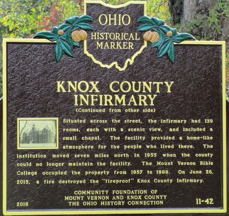
Knox County Infirmary
Situated across the street, the infirmary had 139
rooms, each with a scenic view, and including a
small chapel. The facility provided a home-like
atmosphere for people who lived there. The
institution moved seven miles north in 1955 when the county
could no longer maintain the facility. The Mount Vernon Bible
College occupied the property from 1957 to 1988. On June 26,
2015, a fire destroyed the “fire-proof” Knox County Infirmary.
(picture)
Erected 2016 by Community Foundation of Mount Vernon and Knox County The Ohio Historical Connection. (Marker Number 11- 42.)
Topics and series. This historical marker is listed in these topic lists: Architecture • Charity & Public Work. In addition, it is included in the Ohio Historical Society / The Ohio History Connection series list.
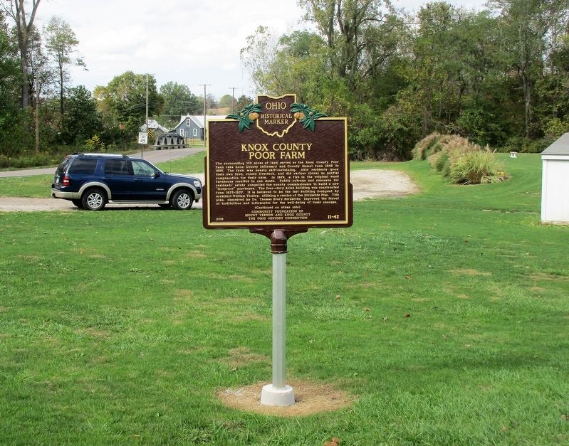
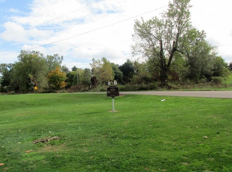
Location. 40° 20.923′ N, 82° 33.088′ W. Marker is near Bangs, Ohio, in Knox County. Marker is at the intersection of Johnstown Road (County Route 19) and Possum Street (County Route 23), on the left when traveling south on Johnstown Road. marker is in front of the Colonial City Baptist Church. Touch for map. Marker is at or near this postal address: 7530 Co Rd 19 Johnstown Road, Mount Vernon OH 43050, United States of America. Touch for directions.
Other nearby markers. At least 8 other markers are within 5 miles of this marker, measured as the crow flies. Ohio Fallen Heroes Memorial (approx. 0.2 miles away); Brandon World War II Honor Roll (approx. 3.4 miles away); Lakeholm Administration Building (approx. 4.4 miles away); Johnny Appleseed's Early Landholdings (approx. 4˝ miles away); South Main Plaza (approx. 4.6 miles away); Jane Payne, M.D. (1825-1882) (approx. 4.6 miles away); Mt. Cavalry Baptist Church (approx. 4.6 miles away); Mt. Calvary Baptist Church (approx. 4.6 miles away).
Credits. This page was last revised on October 11, 2017. It was originally submitted on October 10, 2017, by Rev. Ronald Irick of West Liberty, Ohio. This page has been viewed 522 times since then and 59 times this year. Photos: 1, 2, 3, 4, 5, 6. submitted on October 10, 2017, by Rev. Ronald Irick of West Liberty, Ohio. • Bill Pfingsten was the editor who published this page.
