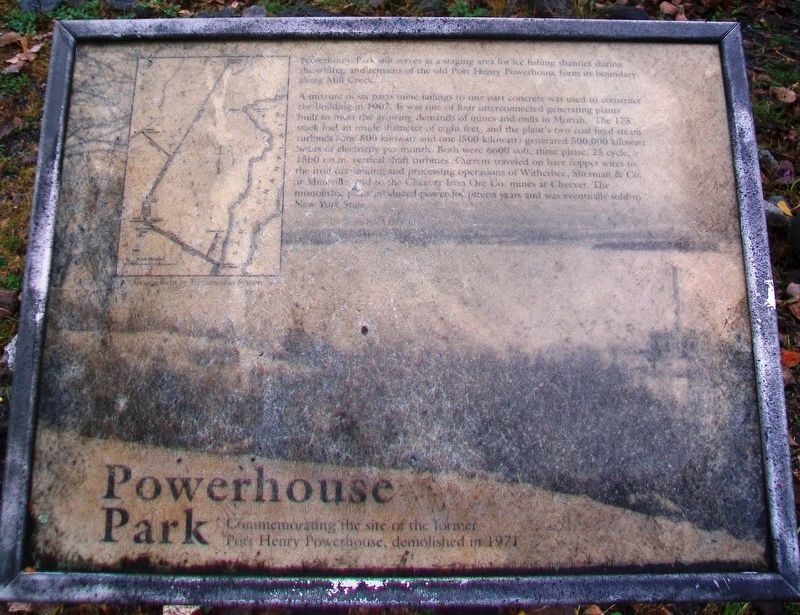
Powerhouse Park
Commemorating the site of the former Port Henry Powerplant, demolished in 1971
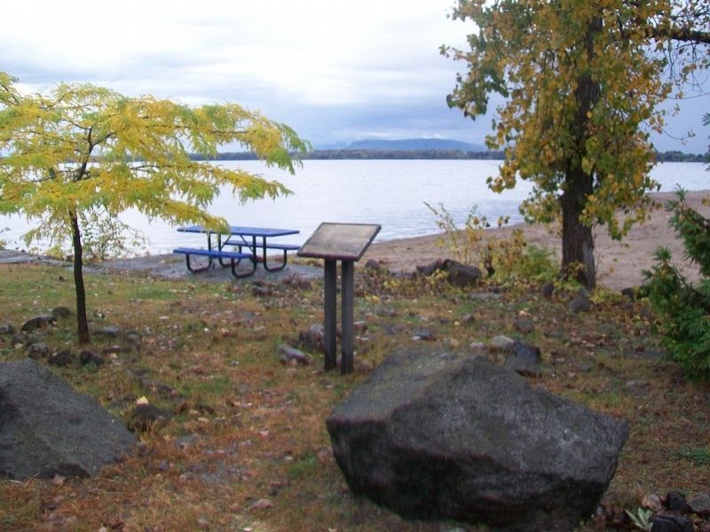
Powerhouse Park still serves as a staging area for ice fishing shanties during the winter and remains of the old Port Henry Powerhouse form its boundary along Mill Creek.
A mixture of six parts mine tailings to one park concrete was used to construct the building in 1907. It was one of four interconnected generating plants built to meet the growing demands of mines and mills in Moriah. The 175' stack had an inside diameter of eight feet, and the plant's two coal fired steam turbines (one 800 kilowatt and one 1500 kilowatt) generated 500,000 kilowatt hours of electricity per month. Both were 6600 volt, three phase, 25 cycle, 1500 r.p.m. vertical shaft turbines. Current traveled on bare copper wires to the iron ore mining and processing operations of Witherbee, Sherman & Co. at Mineville and to the Cheever Iron Ore Co. mines at Cheever. The monolithic plant produced power for fifteen years and was eventually sold to New York State.
[Inset map reads] Arrangement of Transmission System
Topics. This historical marker is listed in these topic lists: Industry & Commerce • Man-Made Features. A significant historical year for this entry is 1907.
Location. 44° 3.111′ N, 73° 27.123′ W. Marker is in Port Henry, New York, in Essex County. Marker is in Powerhouse Park along Lake Champlain, at the
Other nearby markers. At least 8 other markers are within walking distance of this marker. Teamsters, Dock Wallopers and Child Captains (within shouting distance of this marker); Daisy Godfrey (about 300 feet away, measured in a direct line); The 1929 Lake Champlain Bridge (about 400 feet away); The 2011 Lake Champlain Bridge (about 400 feet away); Site of First Blast Furnace (approx. ¼ mile away); Shore Line (approx. ¼ mile away); Site of Porter's and Lewis's Mills (approx. ¼ mile away); Champlain Academy (approx. ¼ mile away). Touch for a list and map of all markers in Port Henry.
More about this marker. The marker is deteriorated.
Also see . . .
1. Power Plant Postcard, c.1915, in Moriah and Port Henry in the Adirondacks. (Submitted on October 15, 2017, by William Fischer, Jr. of Scranton, Pennsylvania.)
2. Port Henry Power Plant in The Iron Trade Review, Sep 2, 1909, p.418. (Submitted on October 15, 2017, by William Fischer, Jr. of Scranton, Pennsylvania.)
Credits. This page was last revised on October 15, 2017. It was originally submitted on October 15, 2017, by William Fischer, Jr. of Scranton, Pennsylvania. This page has been viewed 392 times since then and 60 times this year. Photos: 1, 2. submitted on October 15, 2017, by William Fischer, Jr. of Scranton, Pennsylvania.

