St. Anthony in Fremont County, Idaho — The American West (Mountains)
Pioneer Meeting House
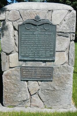
Photographed by Barry Swackhamer, June 23, 2017
1. Pioneer Meeting House Marker
Plaque below the marker reads:
This monument, formerly two blocks south, was moved here when the Tabernacle, built in 1916 by the Church of Jesus Christ of Latter-day Saints, was razed.
Also honoring the pioneers who came into this valley between 1879-1890.
Erected 1941 by Daughters of Utah Pioneers, Fremont County Company. (Marker Number 70.)
Topics and series. This historical marker is listed in this topic list: Religion & Religious Structures. In addition, it is included in the Daughters of Utah Pioneers series list. A significant historical date for this entry is December 6, 1882.
Location. 43° 57.872′ N, 111° 40.903′ W. Marker is in St. Anthony, Idaho, in Fremont County. It is on South Bridge Street near East 3rd Street, on the right when traveling north. Touch for map. Marker is at or near this postal address: 226 South Bridge Street, Saint Anthony ID 83445, United States of America. Touch for directions.

Regionally, this marker is in Eastern Idaho and the Yellowstone Fringe. It is also in the American Mountain West. Globally, it is in North America, the Rocky Mountains, the Western Hemisphere, the Western World, and the Anglosphere.
Other nearby markers. At least 8 other markers are within 7 miles of this marker, measured as the crow flies: Fort Henry (here, next to this marker); M60A3 Army Tank (within shouting distance of this marker); World War I Memorial (within shouting distance of this marker); Sub-Irrigation on Egin Bench (approx. 3.8 miles away); Teton City Settlers (approx. 5.4 miles away); a different marker also named Fort Henry (approx. 5½ miles away); a different marker also named Fort Henry (approx. 5½ miles away);
this page online
More about this marker. This marker is located in American Legion Park.
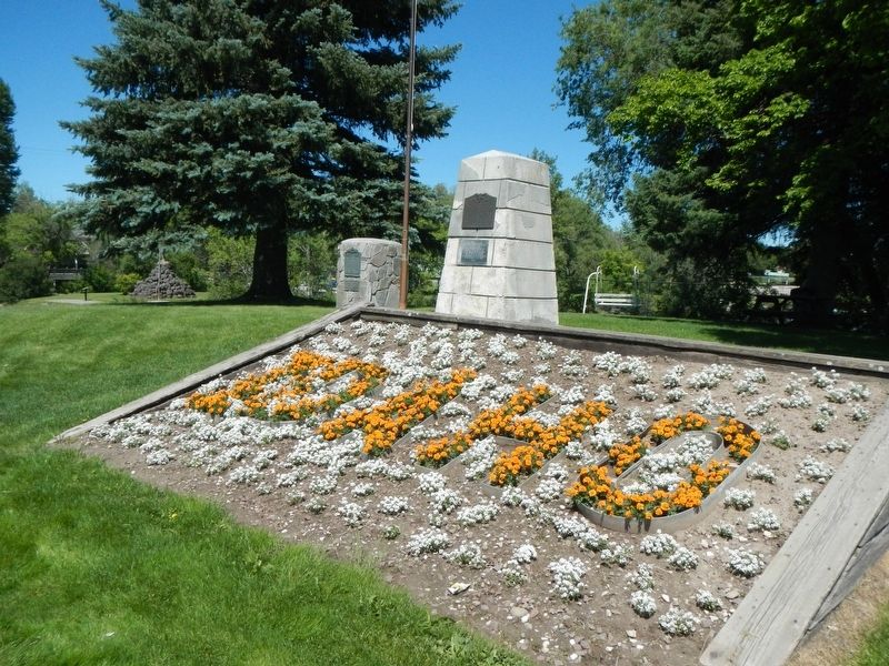
Photographed by Barry Swackhamer, June 23, 2017
2. Pioneer Meeting House Marker
Credits. This page was last revised on October 15, 2017. It was originally submitted on October 15, 2017, by Barry Swackhamer of Brentwood, California. This page has been viewed 627 times since then and 34 times this year. Photos: 1, 2. submitted on October 15, 2017, by Barry Swackhamer of Brentwood, California.
