Near Saint Anthony in Fremont County, Idaho — The American West (Mountains)
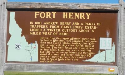
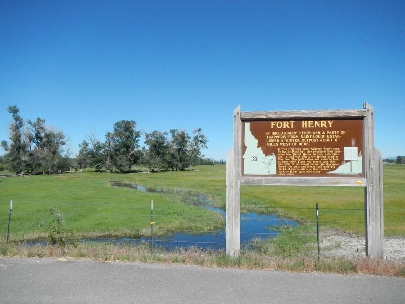
Fort Henry
Driven from their upper Missouri beaver camp by hostile Blackfeet, they expanded their operations from United States territory into Oregon -- a land with only a few British posts at that time. They built cabins and wintered here in deep snow. Game was scarce, and they had little to eat except horses. So they abandoned this area, and Henry took only 40 packs of beaver pelts -- a thin catch -- back to Saint Louis after a season's work.
Erected by Idaho Department of Transportation. (Marker Number 135.)
Topics and series. This historical marker is listed in these topic lists: Forts and Castles • Industry & Commerce. In addition, it is included in the Idaho State Historical Society series list. A significant historical year for this entry is 1810.
Location. 43° 55.525′ N, 111° 46.661′ W. Marker is near Saint Anthony, Idaho, in Fremont County. Marker is on North 1900 East (aka Salem Road) near East 350 North, on the right when traveling north. Touch for map. Marker is at or near this postal address: 246 North 1900 East, Saint Anthony ID 83445, United States of America. Touch for directions.
Other nearby markers. At least 8 other markers are within 6 miles of this marker, measured as the crow flies. A different marker also named Fort Henry (a few steps from this marker); Sub-Irrigation on Egin Bench (approx. 2.4 miles away); The Settlement of Salem, Idaho (approx. 3.4 miles away); Sugar City Sugar Beet Factory (approx. 4 miles away); Thomas C. Neibaur Monument (approx. 4 miles away); Pioneers of Plano (approx. 5 miles away); M60A3 Army Tank (approx. 5˝ miles away); a different marker also named Fort Henry (approx. 5˝ miles away).
Credits. This page was last revised on October 15, 2017. It was originally submitted on October 15, 2017, by Barry Swackhamer of Brentwood, California. This page has been viewed 383 times since then and 31 times this year. Photos: 1, 2. submitted on October 15, 2017, by Barry Swackhamer of Brentwood, California.

