Kingston in Ulster County, New York — The American Northeast (Mid-Atlantic)
Burning of Kingston
Photographed by Bill Coughlin, October 14, 2017
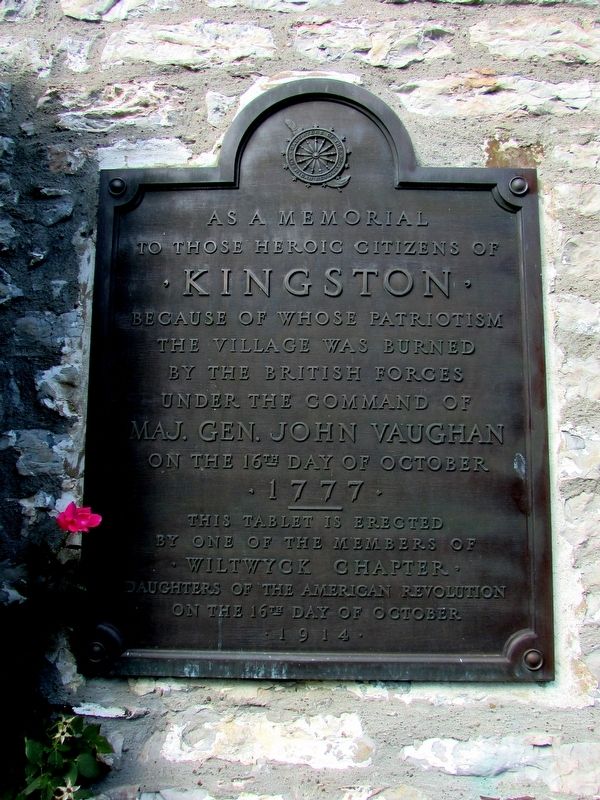
1. Burning of Kingston Marker
to those citizens of
• Kingston •
because of whose patriotism
the village was burned
by the British forces
under the command of
Maj. Gen. John Vaughan
on the 16th day of October
• 1777 •
-----------
This tablet is erected
by one of the members of
• Wiltwyck Chapter •
Daughters of the American Revolution
on the 16th day of October
• 1914 •
Erected 1914 by Daughters of the American Revolution, Wiltwyck Chapter.
Topics and series. This historical marker is listed in this topic list: War, US Revolutionary. In addition, it is included in the Daughters of the American Revolution (DAR) series list. A significant historical date for this entry is October 16, 1777.
Location. 41° 55.966′ N, 74° 1.259′ W. Marker is in Kingston, New York, in Ulster County. It is at the intersection of Crown Street and Green Street, on the left when traveling north on Crown Street. Marker is located on the Henry Sleight House. Touch for map. Marker is at or near this postal address: 3 Crown Street, Kingston NY 12401, United States of America. Touch for directions.

Regionally, this marker is in Upstate New York and in the Hudson Valley. It is also in the American
this page online
Other nearby markers. At least 8 other markers are within walking distance of this marker: Judge Lucas Elmendorf Mansion (within shouting distance of this marker); Kingston Academy (about 300 feet away, measured in a direct line); a different marker also named Kingston Academy (about 300 feet away); The Matthewis Persen House (about 300 feet away); The Four Corners (about 300 feet away); Beginning of the State of New York (about 400 feet away); Ulster County Courthouse (about 400 feet away); Old Stockade 1658 (about 400 feet away). Touch for a list and map of all markers in Kingston.
Photographed by Bill Coughlin, October 14, 2017
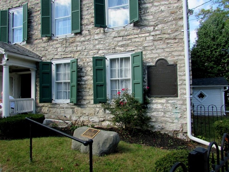
2. Burning of Kingston Marker
Photographed by Bill Coughlin, October 14, 2017
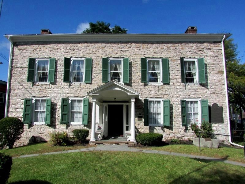
3. The Henry Sleight House
The Burning of Kingston marker can be seen on the right side of the house. Built in the late 1600’s, the Sleight House is the oldest surviving house in the stockade area of Kingston.
Photographed by Bill Coughlin, October 14, 2017
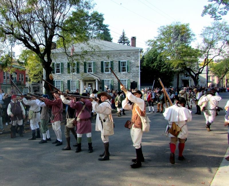
4. Fighting Near the Marker
Continental soldiers fight in front of the Henry Sleight House during a reenactment of the Burning of Kingston. The house and marker can be seen in the background.
Credits. This page was last revised on October 17, 2017. It was originally submitted on October 17, 2017, by Bill Coughlin of Woodland Park, New Jersey. This page has been viewed 714 times since then and 87 times this year. Photos: 1, 2, 3, 4. submitted on October 17, 2017, by Bill Coughlin of Woodland Park, New Jersey.
