
Port Henry in Essex County, New York — The American Northeast (Mid-Atlantic)
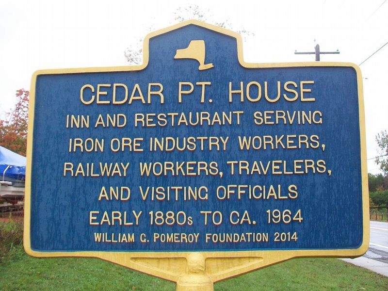
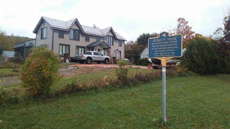
Cedar Point House
Photographed by William Fischer, Jr., October 8, 2017
1. Cedar Point House Marker
iron ore industry workers,
railway workers, travelers,
and visiting officials
early 1880s to ca. 1964
Erected 2014 by William G. Pomeroy Foundation.
Topics and series. This historical marker is listed in this topic list: Notable Buildings. In addition, it is included in the William G. Pomeroy Foundation series list. A significant historical year for this entry is 1964.
Location. 44° 2.46′ N, 73° 27.667′ W. Marker is in Port Henry, New York, in Essex County. It is at the intersection of Main Street (New York State Route 9N/22) and Tobey Street, on the left when traveling north on Main Street. Touch for map. Marker is at or near this postal address: 105 South Main Street, Port Henry NY 12974, United States of America. Touch for directions.

Regionally, this marker is in Upstate New York, in the Adirondacks & North Country, and in the Champlain Valley. It is also in the American Northeast and in the Mid-Atlantic. Globally, it is in North America, the Great North Woods, the Western Hemisphere, the Western World, and the Anglosphere. Historically, it finds itself in what was
this page online
Other nearby markers. At least 8 other markers are within walking distance of this marker: Meacham House (about 300 feet away, measured in a direct line); A Busy Iron Port (about 800 feet away); LC&M Caboose (approx. 0.2 miles away); Witherbee Park and Town Hall (approx. 0.2 miles away); Office Building of Witherbee and Sherman Iron Ore Company (approx. 0.2 miles away); Veterans Memorial (approx. 0.2 miles away); Champ Sightings in Bulwagga Bay Area (approx. 0.2 miles away); Industrial Shoreline (approx. ¼ mile away). Touch for a list and map of all markers in Port Henry.
Photographed by William Fischer, Jr., October 8, 2017
2. Cedar Point House and Marker
Credits. This page was last revised on October 19, 2017. It was originally submitted on October 18, 2017, by William Fischer, Jr. of Reynoldsburg, Ohio. This page has been viewed 456 times since then and 15 times this year. Photos: 1. submitted on October 18, 2017, by William Fischer, Jr. of Reynoldsburg, Ohio. 2. submitted on October 19, 2017, by William Fischer, Jr. of Reynoldsburg, Ohio.
