Sackets Harbor in Jefferson County, New York — The American Northeast (Mid-Atlantic)
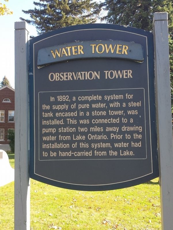
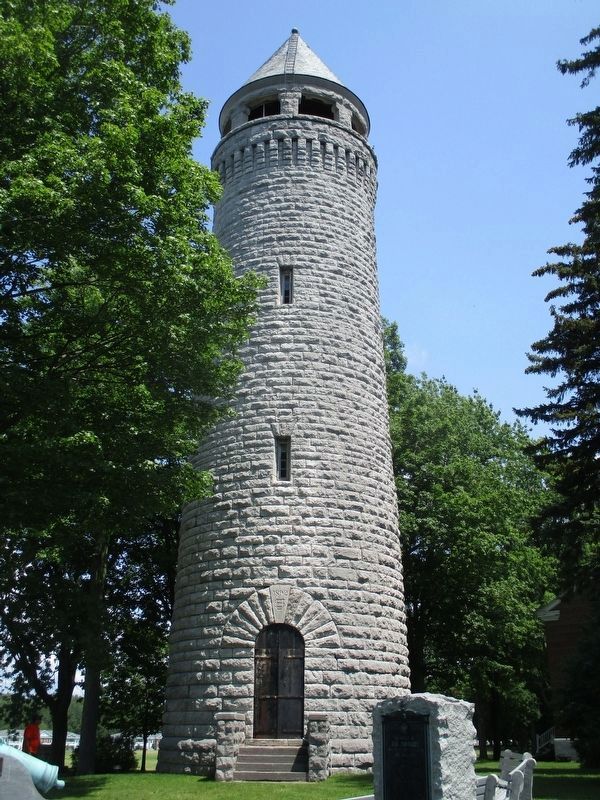
Water Tower Observation Tower
Photographed by Michael Herrick, October 18, 2017
1. Water Tower Observation Tower Marker
Observation Tower
Topics. This historical marker is listed in this topic list: Forts and Castles. A significant historical year for this entry is 1892.
Location. 43° 57.106′ N, 76° 6.544′ W. Marker is in Sackets Harbor, New York, in Jefferson County. It is at the intersection of Brady Road and Wilcox Road, on the right when traveling north on Brady Road. Touch for map. Marker is in this post office area: Sackets Harbor NY 13685, United States of America. Touch for directions.

Regionally, this marker is in Upstate New York and in the Adirondacks & North Country. It is also in the American Northeast and in the Mid-Atlantic. Globally, it is in North America, on the Great Lakes, in the Western Hemisphere, in the Western World, and in the Anglosphere. Historically, it finds itself in what was once the Viceroyalty of New
this page online
Other nearby markers. At least 8 other markers are within walking distance of this marker: In Memory of Our Comrades (a few steps from this marker); Semper Fidelis (a few steps from this marker); Ninth U.S. Infantry Memorial (a few steps from this marker); Polo Field (about 400 feet away, measured in a direct line); Madison Barracks (about 700 feet away); War of 1812, Burial Grounds (approx. 0.2 miles away); War of 1812, Burial Ground Memorial (approx. 0.2 miles away); In Memory of the War of 1812 (approx. 0.2 miles away). Touch for a list and map of all markers in Sackets Harbor.
Photographed by Mira Earls, July 17, 2017
2. Water Tower Observation Tower
Photographed by Mira Earls, July 17, 2017
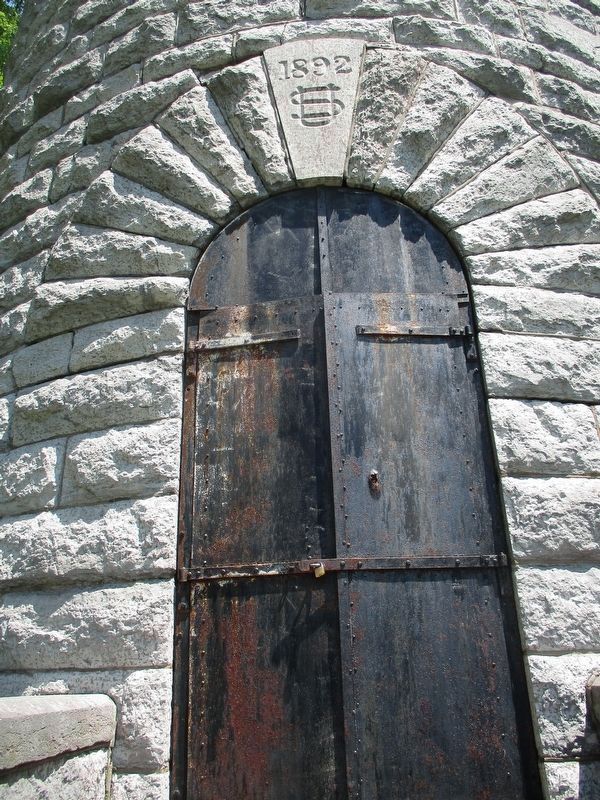
3. Water Tower Observation Tower
Note the date over the door, 1892.
Photographed by Michael Herrick, October 18, 2017
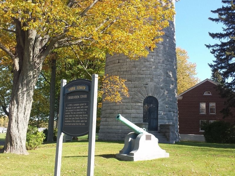
4. Water Tower Observation Tower Marker
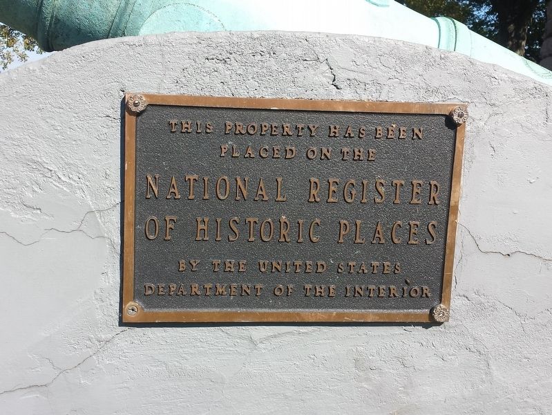
Photographed by Michael Herrick, October 18, 2017
5. Marker on the Cannon
Madison Barracks and the Sackets Harbor Battlefield State Historic Site was listed on the National Register of Historic Places in 1974.
Credits. This page was last revised on August 17, 2022. It was originally submitted on October 23, 2017, by Michael Herrick of Southbury, Connecticut. This page has been viewed 1,186 times since then and 97 times this year. Photos: 1. submitted on October 23, 2017, by Michael Herrick of Southbury, Connecticut. 2, 3. submitted on August 8, 2022, by Mira Earls of Cortland, New York. 4, 5. submitted on October 23, 2017, by Michael Herrick of Southbury, Connecticut.
