Weston in Windsor County, Vermont — The American Northeast (New England)
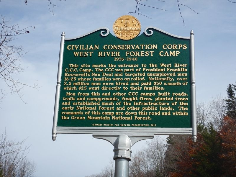
Civilian Conservation Corps West River Forest Camp
1933-1940
Photographed by Kevin Craft, October 23, 2017
1. Civilian Conservation Corps West River Forest Camp Marker
This site marks the entrance to the west River C.C.C. Camp. This CCC was part of President Franklin Roosevelt's New Deal and targeted unemployed men 18–25 whose families were on relief. Nationally, over 2.5 million men were hired and paid $30 a month of which $25 went directly to their families.
Men from this and other CCC camps built roads, trails and campgrounds, fought fires, planted trees and established much of the infrastructure of the early National Forest and other public lands. The remnants of this camp are down this road and within the Green Mountain National Forest.
Erected 2013 by Vermont Division for Historic Preservation.
Topics and series. This historical marker is listed in these topic lists: Charity & Public Work • Horticulture & Forestry. In addition, it is included in the Civilian Conservation Corps (CCC), the Former U.S. Presidents: #32 Franklin D. Roosevelt, and the Vermont Division for Historic Preservation Markers series lists. A significant historical year for this entry is 1933.
Location. 43° 21.744′ N, 72° 47.683′ W. Marker is in Weston, Vermont, in Windsor County. It is on Vermont
this page online

Regionally, this marker is in Vermont’s Connecticut River Valley and in the Green Mountains. It is also in the American Northeast and in New England. Globally, it is in North America, the Western Hemisphere, the Western World, and the Anglosphere. Historically, it finds itself in what was once the Vermont Republic.
Other nearby markers. At least 8 other markers are within 5 miles of this marker, measured as the crow flies: Village of Mechanicsville (approx. 3.9 miles away); Weston Village Historic District (approx. 4.8 miles away); The Cone House (approx. 4.8 miles away); Honor Roll (approx. 4.9 miles away); The Church on the Hill (approx. 4.9 miles away); John Wilder House (approx. 4.9 miles away); Weston Civil War Monument (approx. 4.9 miles away); Cold Spring Brook Memorial Park (approx. 4.9 miles away). Touch for a list and map of all markers in Weston.
Also see . . . Wikipedia - New Deal.
Photographed by Kevin Craft, October 23, 2017
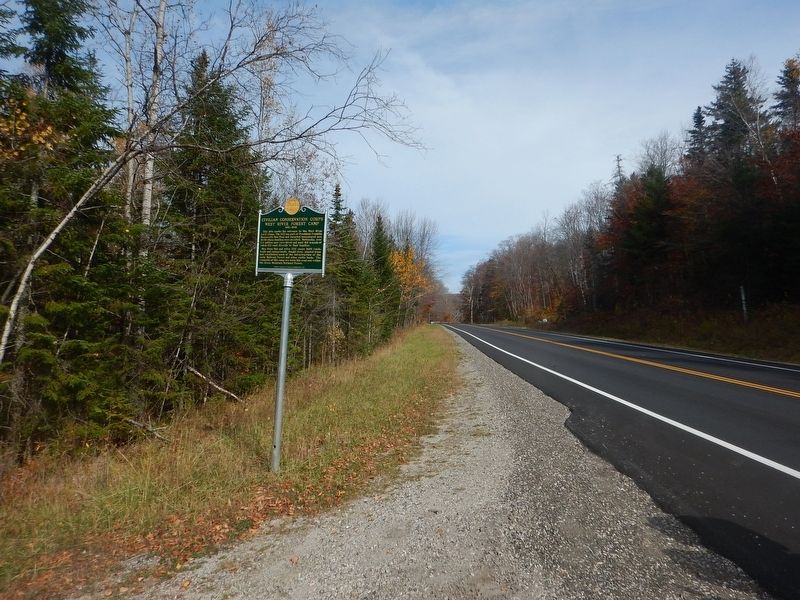
2. Wideview of Civilian Conservation Corps West River Forest Camp Marker
Additional keywords. New Deal
Photographed by Kevin Craft, October 23, 2017
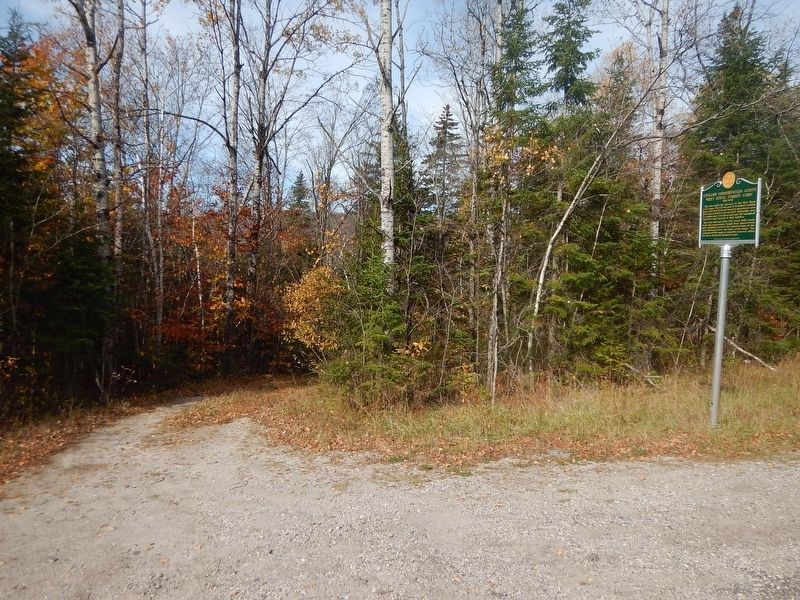
3. Marker and entrance to CCC camp
Credits. This page was last revised on June 27, 2026. It was originally submitted on October 24, 2017, by Kevin Craft of Bedford, Quebec. This page has been viewed 939 times since then and 53 times this year. Photos: 1, 2, 3. submitted on October 24, 2017, by Kevin Craft of Bedford, Quebec.
