
Near Wiggins in Stone County, Mississippi — The American South (East South Central)
Stone County
Photographed by Tom Bosse, July 29, 2017
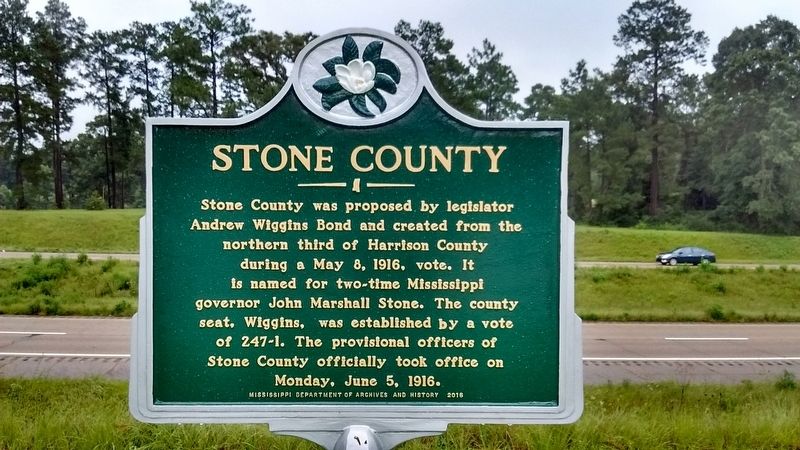
1. Stone County Marker
Stone County was proposed by legislator Andrew Wiggins Bond and created from the north third of Harrison County during a May 8, 1916 vote. It is named for two~time Mississippi governor John Marshall Stone. The county seat, Wiggins, was established by a vote of 247~1. The provisional officers of Stone County officially took office on Monday, June 5, 1916.
Erected 2016 by Mississippi Department of Archives and History.
Topics and series. This historical marker is listed in this topic list: Political Subdivisions. In addition, it is included in the Mississippi State Historical Marker Program series list. A significant historical date for this entry is May 8, 1916.
Location. 30° 51.991′ N, 89° 9.93′ W. Marker is near Wiggins, Mississippi, in Stone County. It is on North Azalea Drive (U.S. 49) 1.3 miles north of West Central Avenue (State Highway 26), on the left when traveling north. Marker is located in front of the Dizzy Dean Rest Area. Touch for map. Marker is at or near this postal address: 2743-2773 N Azalea Dr, Wiggins MS 39577, United States of America. Touch for directions.

Regionally, this marker is in Mississippi’s
this page online
Other nearby markers. At least 8 other markers are within 3 miles of this marker, measured as the crow flies: Jay Hanna "Dizzy" Dean (a few steps from this marker); Gulf and Ship Island Railroad Depot (approx. 1.7 miles away); City of Wiggins (approx. 1.7 miles away); Gulf & Ship Island Railroad (approx. 1.7 miles away); Stone County War Memorial (approx. 1.9 miles away); Stone County Courthouse (approx. 2 miles away); John Wesley Fairley (approx. 2.2 miles away); Professor W.P. Locker (approx. 2.3 miles away). Touch for a list and map of all markers in Wiggins.
Also see . . . John Marshall Stone: Thirty-first and Thirty-third Governor of Mississippi: 1876-1882; 1890-1896. Mississippi History Now website entry (Submitted on October 25, 2017, by Tom Bosse of Jefferson City, Tennessee.)
Photographed by Tom Bosse, July 29, 2017
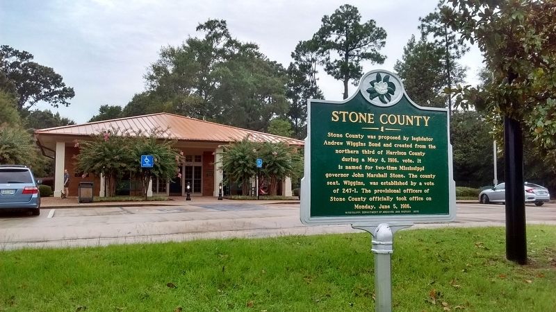
2. Stone County Marker
Photographed by Tom Bosse
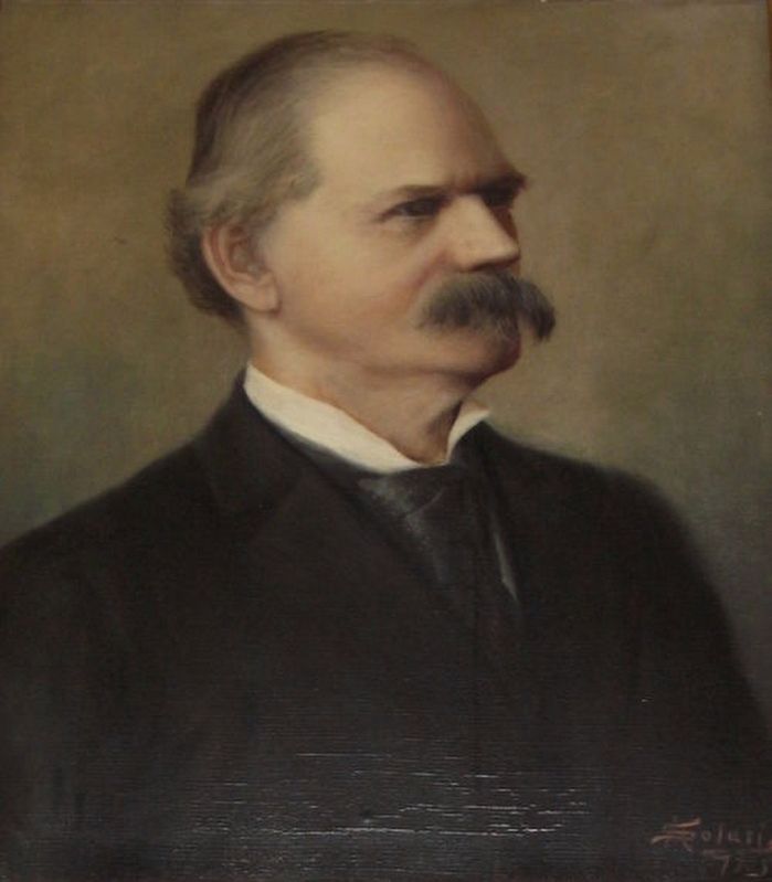
3. John Marshall Stone
Credits. This page was last revised on December 6, 2021. It was originally submitted on October 25, 2017, by Tom Bosse of Jefferson City, Tennessee. This page has been viewed 475 times since then and 47 times this year. Photos: 1, 2, 3. submitted on October 25, 2017, by Tom Bosse of Jefferson City, Tennessee. • Bernard Fisher was the editor who published this page.
