
Roswell in Fulton County, Georgia — The American South (South Atlantic)
Pleasant Hill Baptist Church
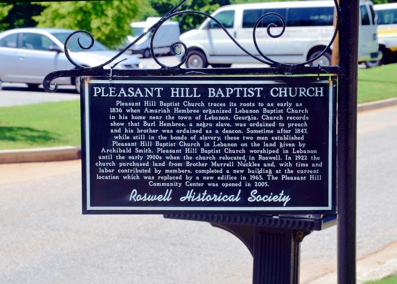
Photographed by David Seibert, June 14, 2013
1. Pleasant Hill Baptist Church Marker
Erected by The Roswell Historical Society.
Topics. This historical marker is listed in these topic lists: African Americans • Religion & Religious Structures.
Location. 34° 1.067′ N, 84° 21.65′ W. Marker is in Roswell, Georgia, in Fulton County. It is at the
this page online

Regionally, this marker is in Georgia’s Piedmont and in Metro Atlanta. It is also in the American South and specifically in the Deep South. Globally, it is in North America, the Western Hemisphere, the Western World, and the Anglosphere. Historically, it finds itself in what was once the territory of the Mississippian Culture, one of the original Thirteen Colonies, one of the Confederate States of America, and the Antebellum South.
Other nearby markers. At least 8 other markers are within walking distance of this marker: Roswell's Historic Presbyterian Cemetery (about 500 feet away, measured in a direct line); Presbyterian Church Cemetery (about 600 feet away); Roswell’s Distinguished Men (about 700 feet away); Roswell Presbyterian Church (approx. 0.2 miles away); a different marker also named Roswell Presbyterian Church (approx. 0.2 miles away); Roswell Factory (approx. 0.2 miles
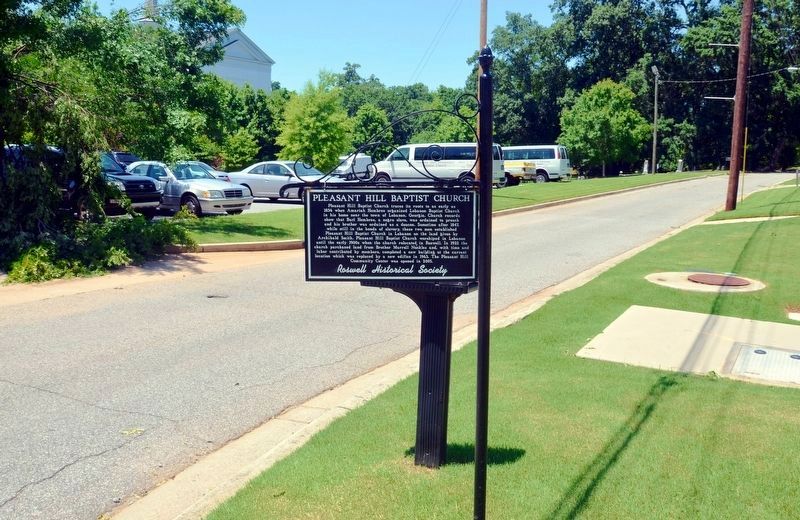
Photographed by David Seibert, June 14, 2013
2. Pleasant Hill Baptist Church Marker
Looking north on Pleasant Hill Street
Related marker. Click here for another marker that is related to this marker.
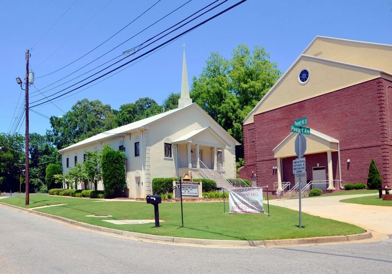
Photographed by David Seibert, June 14, 2013
3. Pleasant Hill Baptist Church and Marker
The Pleasant Hill Community Center is the building to the right.
Credits. This page was last revised on October 26, 2017. It was originally submitted on October 26, 2017, by David Seibert of Sandy Springs, Georgia. This page has been viewed 658 times since then and 59 times this year. Photos: 1, 2, 3. submitted on October 26, 2017, by David Seibert of Sandy Springs, Georgia.
