Bridport in Addison County, Vermont — The American Northeast (New England)
War Memorial
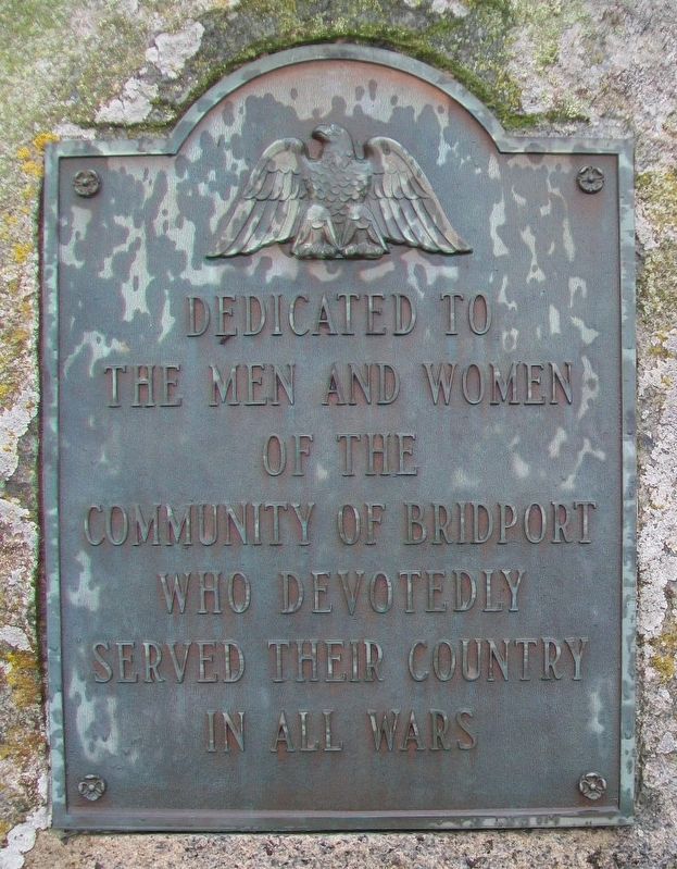
Photographed by William Fischer, Jr., October 9, 2017
1. War Memorial Marker
the men and women
of the
Community of Bridport
who devotedly
served their country
in all wars
Topics. This memorial is listed in these topic lists: Patriots & Patriotism • War, Korean • War, Vietnam • War, World II.
Location. 43° 59.086′ N, 73° 18.894′ W. Memorial is in Bridport, Vermont, in Addison County. It is on Middle Road west of Vermont Route 22A, on the left when traveling west. Touch for map. Memorial is at or near this postal address: 82 Crown Point Rd, Bridport VT 05734, United States of America. Touch for directions.

Regionally, this memorial is in the Champlain Valley. It is also in the American Northeast and in New England. Globally, it is in North America, the Western Hemisphere, the Western World, and the Anglosphere. Historically, it finds itself in what was once the Viceroyalty of New France and also the Vermont Republic.
Other nearby markers. At least 8 other markers are within 7 miles of this marker, measured as the crow flies: Hathorne School (approx. 3.2 miles away); Cornwall Remembers (approx. 5½ miles
this page online
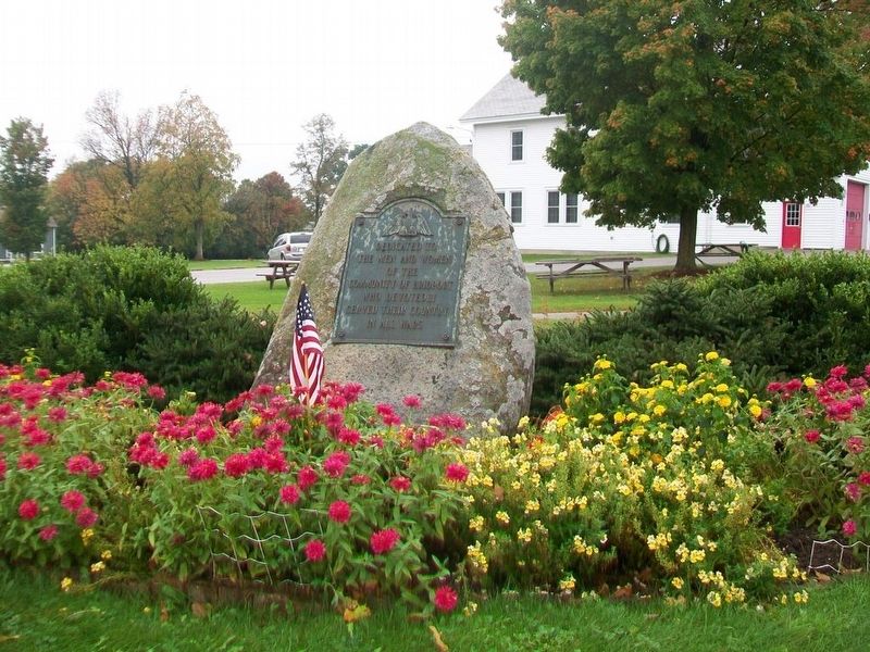
Photographed by William Fischer, Jr., October 9, 2017
2. War Memorial
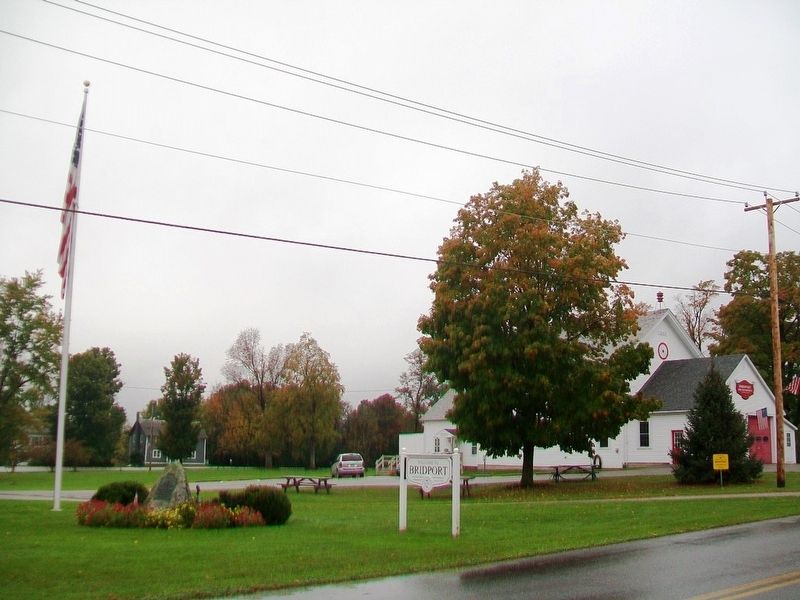
Photographed by William Fischer, Jr., October 9, 2017
3. War Memorial
Credits. This page was last revised on October 26, 2017. It was originally submitted on October 26, 2017, by William Fischer, Jr. of Reynoldsburg, Ohio. This page has been viewed 542 times since then and 22 times this year. Photos: 1, 2, 3. submitted on October 26, 2017, by William Fischer, Jr. of Reynoldsburg, Ohio.
