Near Tendoy in Lemhi County, Idaho — The American West (Mountains)
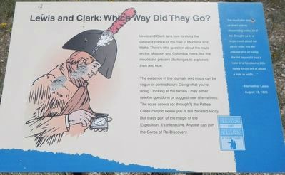
Lewis and Clark: Which Way Did They Go?
Photographed by Barry Swackhamer, June 24, 2017
1. Lewis and Clark: Which Way Did They Go? Marker
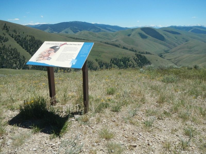
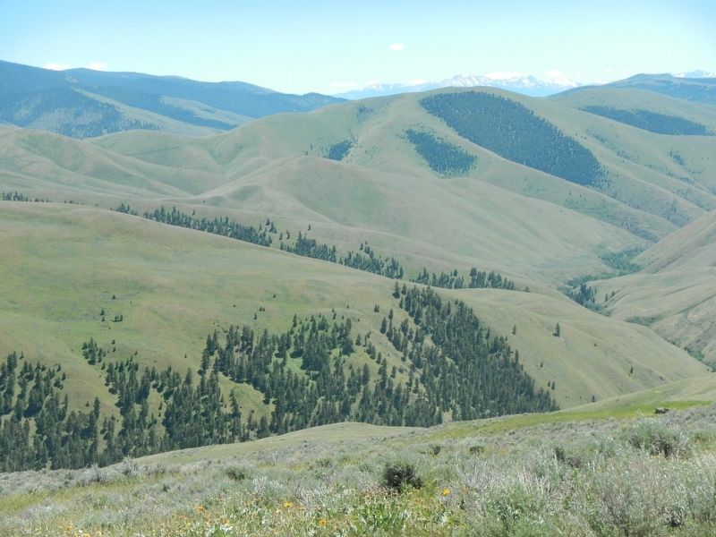
The evidence in the journals and maps can be value or contradictory. Doing what you're doing - looking at the terrain - may either resolve questions or suggest new alternatives. The route across (or through?) the Pattee Creek canyon below you is still debated today. But that's part of the magic of the Expedition: it's interactive. Anyone can join the Corps of Re-Discovery.
"the road after leading us down a long descending valley for 2 Ms. Brought us to a large creek about ten yards wide: this we passed and on rising the hill beyond it had a view of a handsome little valley to our left of about a mile in width..." - Meriwether Lewis, August 13, 1805
Erected by Bureau of Land Management.
Topics and series. This historical marker is listed in this topic list: Exploration. In addition, it is included in the Lewis & Clark Expedition series list. A significant historical date for this entry is August 13, 1805.
Location. 45° 2.052′ N,
this page online

Regionally, this marker is in Central Idaho — Sawtooth Range. It is also in the American Mountain West and in the Lewis & Clark Corridor. Globally, it is in North America, the Rocky Mountains, the Western Hemisphere, the Western World, and the Anglosphere.
Other nearby markers. At least 8 other markers are within 5 miles of this marker, measured as the crow flies: Lewis and Clark: Unfurling the Flag (approx. 0.9 miles away); Rheumatism and Recreation (approx. 2.9 miles away); Meriwether Lewis Makes Contact (approx. 4 miles away); William Clark's Scouting Mission (approx. 4 miles away); Lewis Learns from the Lemhi Shoshone (approx. 4 miles away); The Withington Caldera (approx. 4 miles away); Sacajawea Comes Home (approx. 4 miles away); Sacajawea (approx. 4½ miles away). Touch for a list and map of all markers in Tendoy.
More about this marker.
Photographed by Barry Swackhamer, June 24, 2017
2. Lewis and Clark: Which Way Did They Go? Marker
Photographed by Barry Swackhamer, June 24, 2017
3. View to the Southwest from the Marker
Credits. This page was last revised on October 21, 2020. It was originally submitted on November 1, 2017, by Barry Swackhamer of Brentwood, California. This page has been viewed 436 times since then and 34 times this year. Photos: 1, 2, 3. submitted on November 1, 2017, by Barry Swackhamer of Brentwood, California.
