Holmwood in Calcasieu Parish, Louisiana — The American South (West South Central)
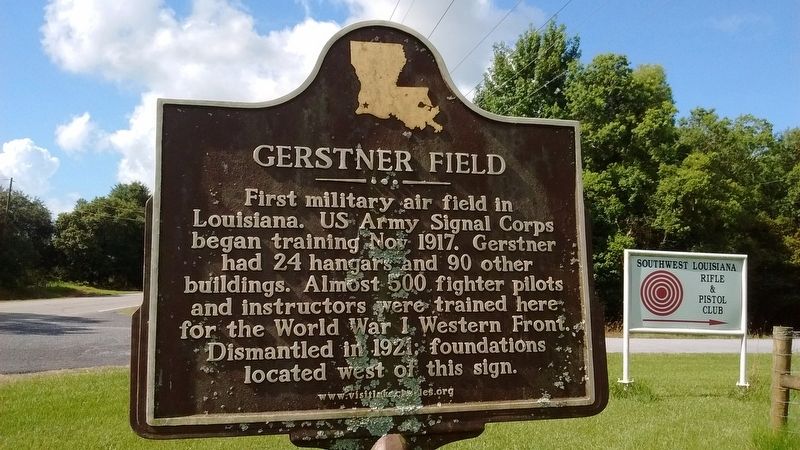
Gerstner Field
Photographed by Tom Bosse, July 6, 2017
1. Gerstner Field Marker
Erected by www.visitlakecharles.org.
Topics. This historical marker is listed in this topic list: War, World I. A significant historical month for this entry is October 1917.
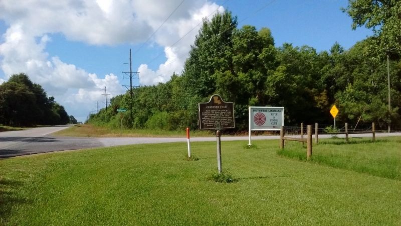
Location. 30° 7.133′ N, 93° 4.82′ W. Marker is in Holmwood, Louisiana, in Calcasieu Parish. It is at the intersection of State Highway 27 and Old Camp Road, on the left when traveling north on State Highway 27. Touch for map. Marker is in this post office area: Iowa LA 70647, United States of America. Touch for directions.

Regionally, this marker is in Louisiana’s Acadiana — Cajun Country. It is also in the American South, specifically in the Deep South, and on the Gulf Coast. Globally, it is in North America, a Gulf of Mexico state, the Western Hemisphere, the Western World, and the Anglosphere. Historically, it finds itself in what was once New Spain,
this page online
Other nearby markers. At least 8 other markers are within 11 miles of this marker, measured as the crow flies: Jean Laffite (approx. 8.9 miles away); LaGrange High School (approx. 9.7 miles away); Louisiana Baptist Orphanage (approx. 10.3 miles away); Lake Charles High School Kilties (approx. 10.8 miles away); Christian Science (approx. 10.8 miles away); St. Charles Academy (approx. 10.8 miles away); Lost Railroad Stations (approx. 11 miles away); Majestic Hotel (approx. 11.1 miles away).
Another marker is no longer nearby. Killen Field (was approx. 10.2 miles away but has been confirmed missing).
Also see . . . Gerstner Field. (Submitted on November 2, 2017, by Tom Bosse of Jefferson City, Tennessee.)
Photographed by Tom Bosse, July 6, 2017
2. Gerstner Field Marker
Photographed by Tom Bosse
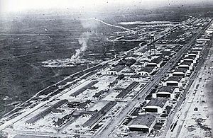
3. Gerstner Field
Photographed by Tom Bosse
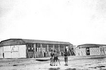
4. Gerstner Field
Credits. This page was last revised on November 5, 2017. It was originally submitted on November 2, 2017, by Tom Bosse of Jefferson City, Tennessee. This page has been viewed 889 times since then and 78 times this year. Photos: 1, 2, 3, 4. submitted on November 2, 2017, by Tom Bosse of Jefferson City, Tennessee. • Bernard Fisher was the editor who published this page.
