Natchitoches in Natchitoches Parish, Louisiana — The American South (West South Central)
Basilica of the Immaculate Conception
Photographed by Tom Bosse, July 4, 2017
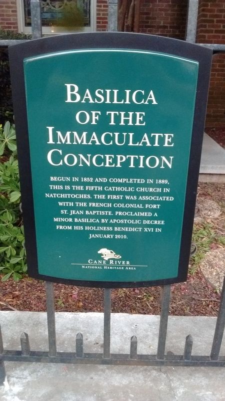
1. Basilica of the Immaculate Conception Marker
Begun in 1852 and completed in 1889, this is the fifth Catholic Church in Natchitoches. The first was associated with the French colonial Fort St. Jean Baptiste. Proclaimed a minor basilica by apostolic decree from his holiness Benedict XVI in January 2010.
Erected by Cane River National Heritage Area.
Topics. This historical marker is listed in this topic list: Religion & Religious Structures. A significant historical month for this entry is January 2010.
Location. 31° 45.671′ N, 93° 5.264′ W. Marker is in Natchitoches, Louisiana, in Natchitoches Parish. It is at the intersection of 2nd Street and Church Street, on the right when traveling north on 2nd Street. Touch for map. Marker is at or near this postal address: 145 Church St, Natchitoches LA 71457, United States of America. Touch for directions.

Regionally, this marker is in Central Louisiana. It is also in the American South, specifically in the Deep South, and in the Piney Woods. Globally, it is in North America, a Gulf of Mexico state, the Western Hemisphere, the Western World, and the Anglosphere. Historically, it finds itself in what was once New Spain, the Viceroyalty of New France, the territory of the Mississippian Culture, the Louisiana Purchase, one of the Confederate States of America, and the Antebellum South.
Other nearby markers. At least 8 other markers are within walking distance of this marker: First Mass in Natchitoches (a few steps from this marker); The Natchitoches Parish Old Courthouse (a few steps from this marker); The Old Natchitoches Parish Courthouse (a few steps from this marker); The Legacy of Catholicism (within shouting distance of this marker); Lest We Forget (within shouting distance of this marker); Natchitoches Parish Veterans and Memorial Park (within shouting distance of this marker); Saint Denis Tomb
this page online
Photographed by Tom Bosse, July 4, 2017
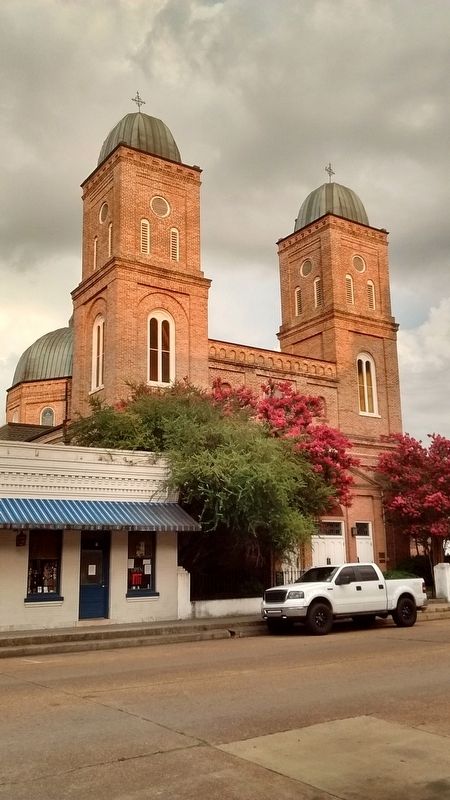
2. Basilica of the Immaculate Conception Marker
Photographed by Tom Bosse, July 4, 2017
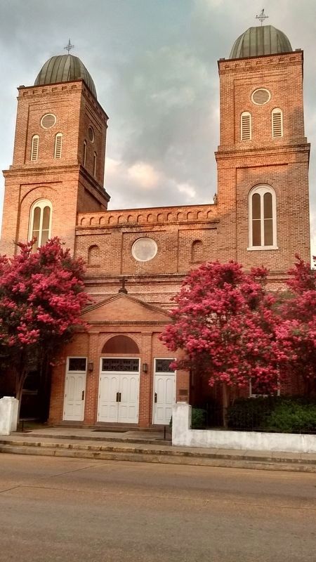
3. Basilica of the Immaculate Conception
Photographed by Tom Bosse, July 4, 2017
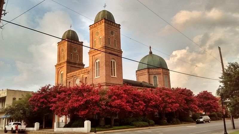
4. Basilica of the Immaculate Conception
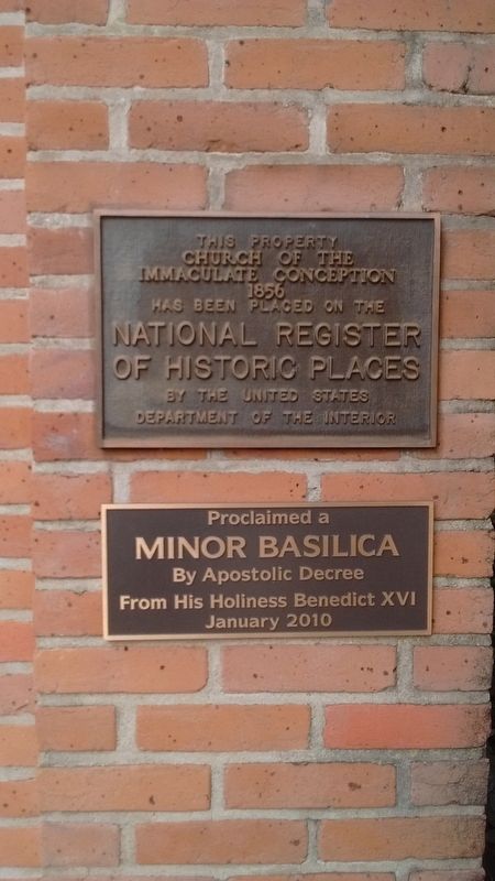
Photographed by Tom Bosse, July 4, 2017
5. Basilica of the Immaculate Conception
Credits. This page was last revised on June 7, 2021. It was originally submitted on November 3, 2017, by Tom Bosse of Jefferson City, Tennessee. This page has been viewed 685 times since then and 31 times this year. Photos: 1, 2, 3, 4, 5. submitted on November 3, 2017, by Tom Bosse of Jefferson City, Tennessee. • Bernard Fisher was the editor who published this page.
