Near Tendoy in Lemhi County, Idaho — The American West (Mountains)
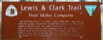
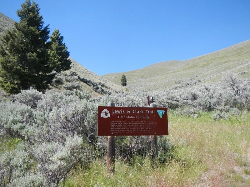
First Idaho Campsite
Lewis & Clark Trail
Photographed by Barry Swackhamer, June 24, 2017
1. First Idaho Campsite Marker
Erected by Bureau of Land Management.
Topics and series. This historical marker is listed in this topic list: Exploration. In addition, it is included in the Lewis & Clark Expedition series list. A significant historical date for this entry is August 12, 1805.
Location. 44° 58.754′ N, 113° 28.324′ W. Marker is near Tendoy, Idaho, in Lemhi County. It is on Lewis and Clark Highway (Forest Road 013) near Forest Road 068, on the right when traveling west. Touch for map. Marker is in this post office area: Tendoy ID 83468, United States of America. Touch for directions.

Regionally, this marker is in Central Idaho — Sawtooth Range. It is also in the American Mountain West and in the Lewis & Clark Corridor. Globally, it is in North America,
this page online
Other nearby markers. At least 8 other markers are within 2 miles of this marker, measured as the crow flies: Agency Creek (approx. 1.2 miles away); Lemhi Pass (approx. 1.2 miles away); "Immence Ranges of High Mountains Still to the West of Us…" (approx. 1.3 miles away); A Communication Across the Continent by Water (approx. 1.3 miles away); Crossing the Great Divide (approx. 1.4 miles away); From Route ... To Road (approx. 1.4 miles away); "Most Distant Fountain" of the Mighty Missouri (approx. 1½ miles away in Montana); The Beginning of the "Endless Missouri" (approx. 1½ miles away in Montana). Touch for a list and map of all markers in Tendoy.
More about this marker. This marker is on the Lewis and Clark National Back Country Byway and Adventure Road. The Byway is a 36 mile loop from Tendoy, Idaho to Lemhi Pass and back to Tendoy over gravel roads with a 4000 foot gain and loss in elevation. There are 10 designated stops with pullouts on the Byway and over two dozen information panels and markers on route. Estimated travel time is about
Photographed by Barry Swackhamer, June 24, 2017
2. First Idaho Campsite Marker
Credits. This page was last revised on November 3, 2017. It was originally submitted on November 3, 2017, by Barry Swackhamer of Brentwood, California. This page has been viewed 545 times since then and 37 times this year. Photos: 1, 2. submitted on November 3, 2017, by Barry Swackhamer of Brentwood, California.
