Near Tendoy in Lemhi County, Idaho — The American West (Mountains)
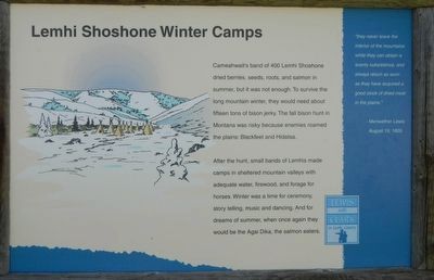
Lemhi Shoshone Winter Camps
After the hunt, small bands of Lemhis made camps in sheltered mountain valleys with adequate water, firewood, and forage for horses. Winter was a time for ceremony, story telling, music and dancing. And for dreams of summer, when one again they would be the Agai Dika, the salmon eaters.
"they never leave the interior of the mountains while they can obtain a scanty subsistence, and always return as soon as they have acquired a good stock of dried meat in the plains." - Meriwether Lewis, August 19, 1805
Erected by Bureau of Land Management.
Topics and series. This historical marker is listed in these topic lists: Exploration • Native Americans. In addition, it is included in the Lewis & Clark Expedition series list. A significant historical date for this entry is August 19, 1805.
Location. 44° 56.978′ N, 113° 33.5′ W. Marker is near Tendoy, Idaho, in Lemhi County. Marker is on Agency Creek Road near Forest Road 6238. Touch for map. Marker is in this post office area: Tendoy ID 83468, United States of America. Touch for directions.
Other nearby markers. At least 8 other markers are within 5 miles of this marker, measured as the crow flies. Lewis and Clark: The First Idaho Camp (here, next to this marker); Plants New to Science (within shouting distance of this marker); The Red Rock Stage (approx. 2.8 miles away); Lewis and Clark: Trading for Horses (approx. 4.3 miles away); Tendoy, Chief of the Lemhi Shoshone (approx. 4.3 miles away); Leaving the Lemhi Valley (approx. 4.3 miles away); Lewis and Clark (approx. 4.3 miles away); The Salmon River Mission (approx. 4.6 miles away). Touch for a list and map of all markers in Tendoy.
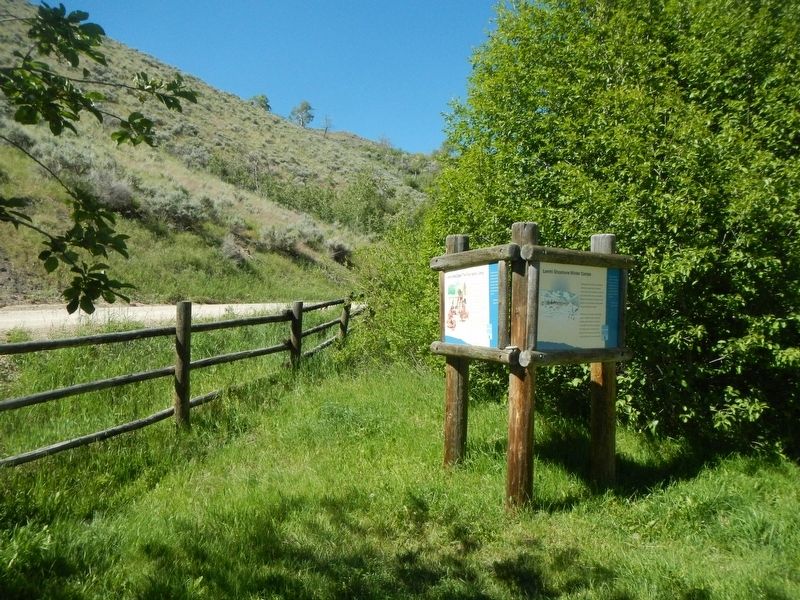
More about this marker. This marker is located at the Agency Creek Campground.
This marker is on the Lewis and Clark National Back Country Byway and Adventure Road. The Byway is a 36 mile loop from Tendoy, Idaho to Lemhi Pass and back to Tendoy over gravel roads with a 4000 foot gain and loss in elevation. There are 10 designated stops with pullouts on the Byway and over two dozen information panels and markers on route. Estimated travel time is about 3 hours.
Credits. This page was last revised on November 4, 2017. It was originally submitted on November 4, 2017, by Barry Swackhamer of Brentwood, California. This page has been viewed 254 times since then and 22 times this year. Photos: 1, 2. submitted on November 4, 2017, by Barry Swackhamer of Brentwood, California.

