Near Salmon in Lemhi County, Idaho — The American West (Mountains)
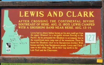
Lewis and Clark
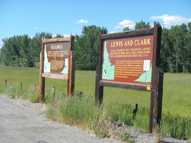
Lewis had to obtain Indian horses so his men could get from the upper Missouri to a navigable stream flowing to the Pacific. So he persuaded the Shoshoni to accompany him to the expedition's main camp east of the mountains. There he found the Shoshoni chief to be Sacajawea's brother. With horses and help from Sacajawea's people. Lewis and Clark came to this valley Aug. 26 on their way north to the Lolo Trail and the Clearwater.
Erected by Idaho Department of Transportation. (Marker Number 127.)
Topics and series. This historical marker is listed in this topic list: Exploration. In addition, it is included in the Idaho State Historical Society, and the Lewis & Clark Expedition series lists. A significant historical date for this entry is August 26, 1805.
Location. 45° 3.065′ N, 113° 41.116′ W. Marker is near Salmon, Idaho, in Lemhi County. Marker is on State Highway 28 near Haynes Creek/17 Mile Road, on the right when traveling north. Touch for map. Marker is in this post office area: Salmon ID 83467, United States of America. Touch for directions.
Other nearby markers. At least 8 other markers are within 5 miles of this marker, measured as the crow flies. Sacajawea (here, next to this marker); a different marker also named Sacajawea (approx. 2.3 miles away); MacDonald's Battle (approx. 2˝ miles away); Waters Flowing to the Pacific (approx. 2˝ miles away); The Withington Caldera (approx. 4.2 miles away); Lewis Learns from the Lemhi Shoshone (approx. 4.2 miles away); Meriwether Lewis Makes Contact (approx. 4.2 miles away); Sacajawea Comes Home (approx. 4.2 miles away). Touch for a list and map of all markers in Salmon.
Credits. This page was last revised on November 4, 2017. It was originally submitted on November 4, 2017, by Barry Swackhamer of Brentwood, California. This page has been viewed 258 times since then and 15 times this year. Photos: 1, 2. submitted on November 4, 2017, by Barry Swackhamer of Brentwood, California.

