
Jean Lafitte in Jefferson Parish, Louisiana — The American South (West South Central)
Clark Cheniere
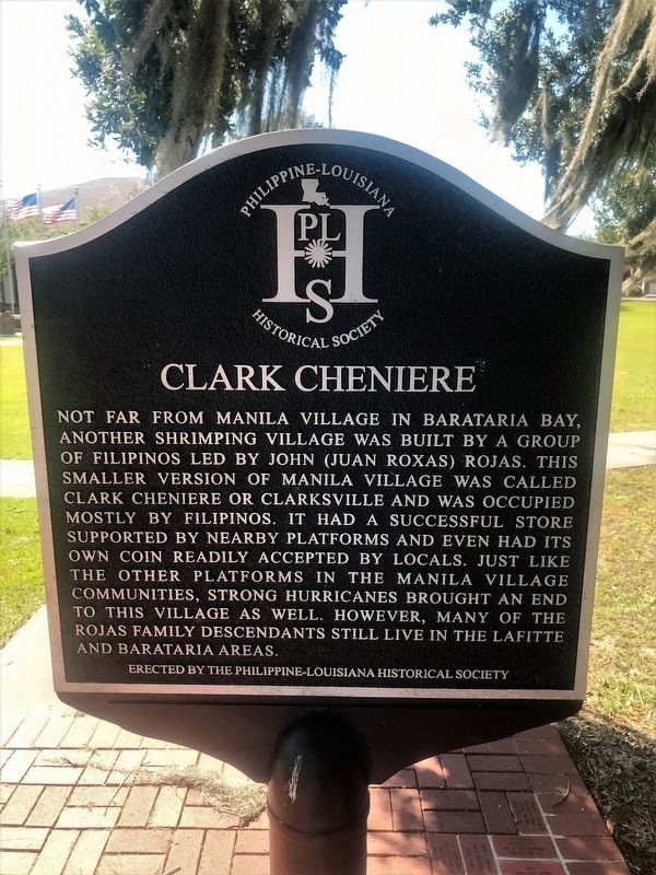
Photographed by Cajun Scrambler, October 28, 2017
1. Clark Cheniere Marker
Erected by The Philippine-Louisiana Historical Society.
Topics. This historical marker is listed in this topic list: Settlements & Settlers.
Location. 29° 44.09′ N, 90° 7.559′ W. Marker is in Jean Lafitte, Louisiana, in Jefferson Parish. It is on Jean Lafitte Boulevard (State Highway 45) south of Church Street, on the right when traveling south. Touch for map. Marker is in this post office area: Lafitte LA 70067, United States of America. Touch for directions.

Regionally, this marker is in the
this page online
Other nearby markers. At least 8 other markers are within 9 miles of this marker, measured as the crow flies: Manila Village (here, next to this marker); Town of Jean Lafitte (approx. 2.4 miles away); Barataria Preserve (approx. 3.4 miles away); Sinking Land, Rising Water (approx. 3.4 miles away); Jean Lafitte (approx. 4.1 miles away); Poblacion de Barataria (approx. 5.1 miles away); Woodlawn High School and the Struggle for Racial Equality (approx. 6.8 miles away); Mary Plantation (approx. 9 miles away). Touch for a list and map of all markers in Jean Lafitte.
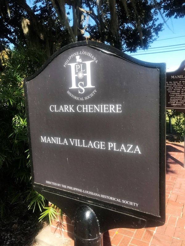
Photographed by Cajun Scrambler, October 28, 2017
2. Clark Cheniere Marker
Rear of Marker
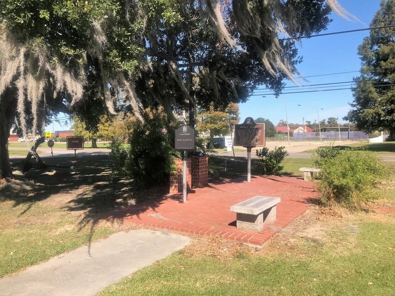
Photographed by Cajun Scrambler, October 28, 2017
3. Clark Cheniere Marker
Credits. This page was last revised on November 26, 2022. It was originally submitted on November 5, 2017, by Cajun Scrambler of Assumption, Louisiana. This page has been viewed 1,281 times since then and 53 times this year. Photos: 1, 2, 3. submitted on November 5, 2017.
