Near Gibbonsville in Lemhi County, Idaho — The American West (Mountains)
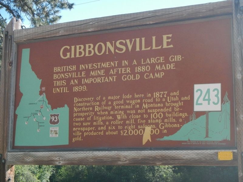
Gibbonsville
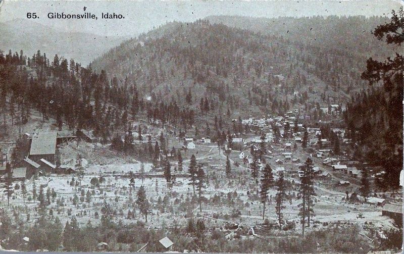
Discovery of a major lode here in 1877 and construction of a good wagon road to a Utah and Northern Railway terminal in Montana brought prosperity when mining was not suspended because of litigation. With close to 100 buildings, two saw mills, a roller mill, five stamp mills, a newspaper, and six to eight saloons, Gibbonsville produced about $2,000,000 in gold.
Erected by Idaho Department of Transportation. (Marker Number 243.)
Topics and series. This historical marker is listed in these topic lists: Industry & Commerce • Natural Resources. In addition, it is included in the Idaho State Historical Society series list. A significant historical year for this entry is 1880.
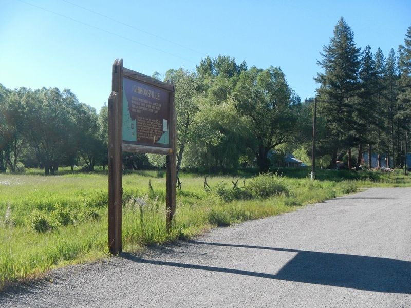
Location. 45° 32.598′ N, 113° 55.767′ W. Marker is near Gibbonsville, Idaho, in Lemhi County. Marker is on Casey Road (U.S. 93) near Dahlonega Creek Road (Forest Road 079), on the left when traveling north. Touch for map. Marker is at or near this postal address: 3223 Casey Road, Gibbonsville ID 83463, United States of America. Touch for directions.
Other nearby markers. At least 8 other markers are within 10 miles of this marker, measured as the crow flies. Deep Creek (approx. 3.8 miles away); Nez Perce Trail (approx. 4.8 miles away); Lewis and Clark (approx. 8.4 miles away); Lost Trail Pass (approx. 9.7 miles away); Jerry Fahey’s Cutoff (approx. 9.7 miles away); Natural Travel Corridor (approx. 9.8 miles away in Montana); In Commemoration of Old Toby the Shoshone Indian (approx. 9.9 miles away); Salmon River Encounter (approx. 10 miles away). Touch for a list and map of all markers in Gibbonsville.
Also see . . . Gibbnsville, Idaho Mining Camp to Bedroom Community - Legends of America. he first settlers made their homes here about 1872, at which time the tiny spot was referred to as Dahlongi. However, in 1877, after gold was discovered on Anderson and Dahlonega Creeks, the small settlement officially became a town and was named Gibbonsville in honor of Colonel John Gibbon, who pursued the Nez Perce Indians and fought in the Battle of the Big Hole. (Submitted on November 5, 2017, by Barry Swackhamer of Brentwood, California.)
Credits. This page was last revised on November 5, 2017. It was originally submitted on November 5, 2017, by Barry Swackhamer of Brentwood, California. This page has been viewed 631 times since then and 55 times this year. Photos: 1, 2, 3. submitted on November 5, 2017, by Barry Swackhamer of Brentwood, California.


