Friedenshuetten
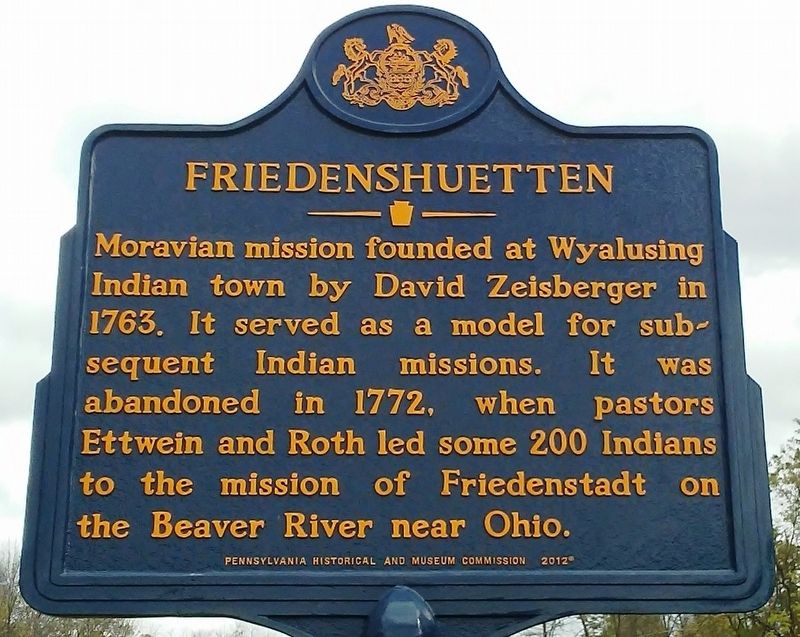
Moravian mission founded at Wyalusing Indian town by David Zeisberger in 1763. It served as a model for subsequent Indian missions. It was abandoned in 1772, when pastors Ettwein and Roth led some 200 Indians to the mission of Friedenstadt on the Beaver River near Ohio.
Erected 2012 by Pennsylvania Historical and Museum Commission.
Topics and series. This historical marker is listed in these topic lists: Indigenous Peoples and Communities • Religion & Religious Structures. In addition, it is included in the Pennsylvania Historical and Museum Commission (PHMC) series list. A significant historical year for this entry is 1763.
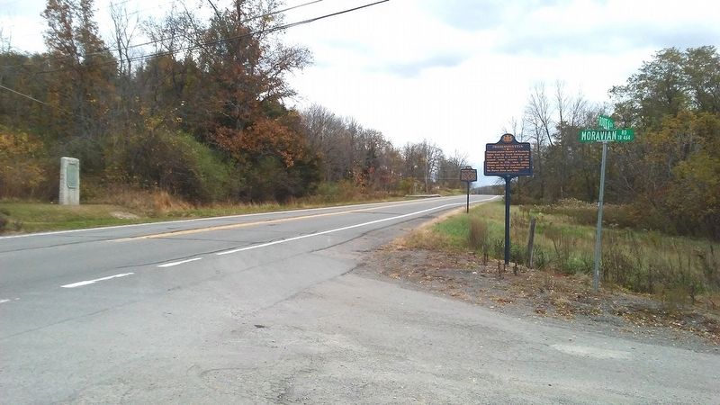
Location. 41° 39.219′ N, 76° 14.376′ W. Marker is near Wyalusing, Pennsylvania, in Bradford County. It is at the intersection of U.S. 6 and Moravian Road, on the right when traveling east on U.S. 6. Touch for map. Marker is in this post office area: Wyalusing PA 18853, United States of America. Touch for directions.
Regionally, this marker is in the American Northeast and in the Mid-Atlantic. Globally, it is in North America, the Western Hemisphere, the Western World, and the Anglosphere.
this page online
Other nearby markers. At least 8 other markers are within 3 miles of this marker, measured as the crow flies: Sullivan Expedition Against the Iroquois Indians 1779 (a few steps from this marker); Sullivan's March (within shouting distance of this marker); Wyalusing (approx. 1.3 miles away); Wyalusing's Lodge Hall (approx. 1.4 miles away); Veterans Memorial (approx. 1½ miles away); Wyalusing Borough Historic District (approx. 1½ miles away); a different marker also named Wyalusing (approx. 2 miles away); Raymond W. Baker (approx. 2.3 miles away). Touch for a list and map of all markers in Wyalusing.
Also see . . .
1. Friedenshutten. PA Roots website entry (Submitted on November 5, 2017, by William Fischer, Jr. of Reynoldsburg, Ohio.)
2. MarkerQuest - Friedenshuetten. (Submitted on October 23, 2025, by Laura Klotz of Northampton, Pennsylvania.)
Credits. This page was last revised on October 24, 2025. It was originally submitted on November 5, 2017, by William Fischer, Jr. of Reynoldsburg, Ohio. This page has been viewed 2,580 times since then and 242 times this year. Photos: 1, 2. submitted on November 5, 2017, by William Fischer, Jr. of Reynoldsburg, Ohio.
