
Jean Lafitte in Jefferson Parish, Louisiana — The American South (West South Central)
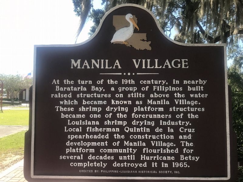
Manila Village
Photographed by Cajun Scrambler, October 28, 2017
1. Manila Village Marker
At the turn of the 19th century, in nearby Barataria Bay, a group of Filipinos built raised structures on stilts above the water which became known as Manila Village. These shrimp drying platform structures became the forerunners of the Louisiana shrimp drying industry. Local fisherman Quintin de la Cruz spearheaded the construction and development on Manila Village. The platform community flourished for several decades until Hurricane Betsy completely destroyed it in 1965.
Erected by Filipine-Louisiana Historical Society.
Topics. This historical marker is listed in these topic lists: Asian Americans • Disasters • Industry & Commerce • Settlements & Settlers. A significant historical year for this entry is 1965.
Location. 29° 44.092′ N, 90° 7.555′ W. Marker is in Jean Lafitte, Louisiana, in Jefferson Parish. It is on Jean Lafitte Boulevard (State Highway 45) south of Church Street, on the right when traveling south. Touch for map. Marker is at or near this postal address: 2654 Jean Lafitte Boulevard, Lafitte LA 70067, United States of America. Touch for directions.

Regionally, this marker is in the River
this page online
Other nearby markers. At least 8 other markers are within 9 miles of this marker, measured as the crow flies: Clark Cheniere (here, next to this marker); Town of Jean Lafitte (approx. 2.3 miles away); Barataria Preserve (approx. 3.4 miles away); Sinking Land, Rising Water (approx. 3.4 miles away); Jean Lafitte (approx. 4.1 miles away); Poblacion de Barataria (approx. 5.1 miles away); Woodlawn High School and the Struggle for Racial Equality (approx. 6.8 miles away); Mary Plantation (approx. 9 miles away). Touch for a list and map of all markers in Jean Lafitte.
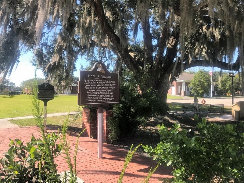
More about this marker. Located in front of the Town of Jean Lafitte municipal building.
Photographed by Cajun Scrambler, October 28, 2017
2. Manila Village Marker
Credits. This page was last revised on November 14, 2024. It was originally submitted on November 5, 2017, by Cajun Scrambler of Assumption, Louisiana. This page has been viewed 3,062 times since then and 170 times this year. Photos: 1, 2. submitted on November 5, 2017.
