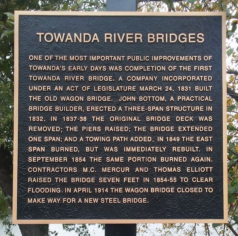
Towanda River Bridges
One of the most important public improvements of Towanda's early days was completion of the first Towanda river bridge. A company incorporated under an Act of Legislature March 24, 1831 built the Old Wagon Bridge. John Bottom, a practical bridge builder, erected a three-span structure in 1832. In 1837-38 the original bridge deck was removed; the piers raised; the bridge extended one span; and a towing path added. In 1849 the east span burned, but was immediately rebuilt. In September 1854 the same portion burned again. Contractors M.C. Mercur and Thomas Elliott raised the bridge seven feet in 1854-55 to clear flooding. In April 1914 the Wagon Bridge closed to make way for a new steel bridge.
Topics and series. This historical marker is listed in these topic lists: Bridges & Viaducts • Man-Made Features. In addition, it is included in the Covered Bridges series list. A significant historical date for this entry is March 24, 1831.
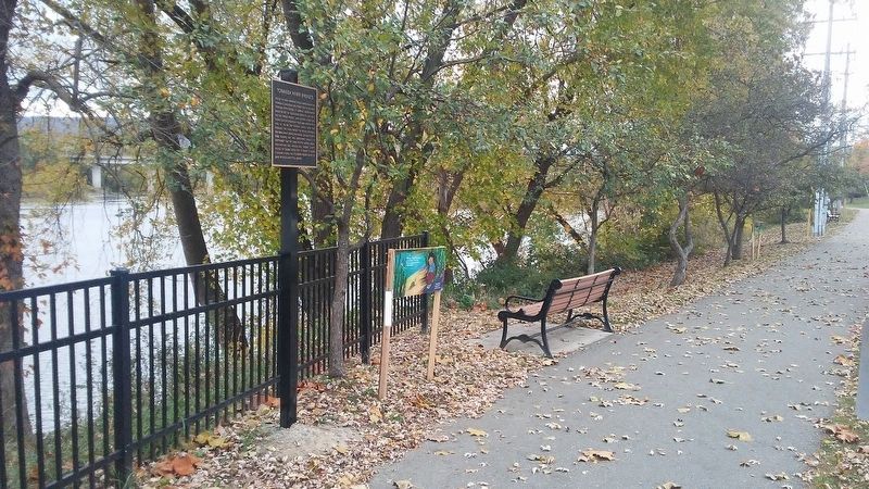
Location. 41° 45.904′ N, 76° 26.51′ W. Marker is in Towanda, Pennsylvania, in Bradford County. Marker is on River Street/Merrill Parkway south of Bridge Street, on the left when traveling south. Touch for map. Marker is in this post office area: Towanda PA 18848, United States of America. Touch for directions.
Other nearby markers. At least 8 other markers are within walking distance of this marker. The Creamery (a few steps from this marker); American Hotel (a few steps from this marker); 1922 Train Station
Also see . . . Towanda Borough Historic District. (Submitted on November 6, 2017, by William Fischer, Jr. of Scranton, Pennsylvania.)
Credits. This page was last revised on November 6, 2017. It was originally submitted on November 6, 2017, by William Fischer, Jr. of Scranton, Pennsylvania. This page has been viewed 662 times since then and 76 times this year. Photos: 1, 2. submitted on November 6, 2017, by William Fischer, Jr. of Scranton, Pennsylvania.

