Challis in Custer County, Idaho — The American West (Mountains)
Challis
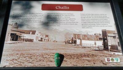
Photographed by Barry Swackhamer, June 25, 2017
1. Challis Marker
Erected by U.S. Forest Service, Idaho Department of Parks and Recreation, and
this page online
Topics. This historical marker is listed in these topic lists: Industry & Commerce • Settlements & Settlers. A significant historical year for this entry is 1878.
Location. 44° 30.372′ N, 114° 13.44′ W. Marker is in Challis, Idaho, in Custer County. It is at the intersection of Main Street and U.S. 93, on the right on Main Street. Touch for map. Marker is at or near this postal address: 1220 Main Street, Challis ID 83226, United States of America. Touch for directions.

Regionally, this marker is in Central Idaho — Sawtooth Range. It is also in the American Mountain West. Globally, it is in North America, the Rocky Mountains, the Western Hemisphere, the Western World, and the Anglosphere.
Other nearby markers. At least 5 other markers are within 6 miles of this marker, measured as the crow flies: Land of the Yankee Fork Historic Area (a few steps from this marker); Michel Bourdon (approx. 1.3 miles away); Bison Jump (approx. 2.4 miles away); Parting of the Ways (approx. 5.1 miles away); Corkscrew Grade (approx. 6 miles away).
More about this marker. This marker is located in a small
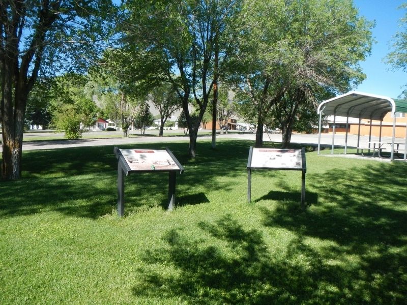
Photographed by Barry Swackhamer, June 25, 2017
2. Challis Marker
Credits. This page was last revised on November 7, 2017. It was originally submitted on November 7, 2017, by Barry Swackhamer of Brentwood, California. This page has been viewed 498 times since then and 36 times this year. Photos: 1, 2. submitted on November 7, 2017, by Barry Swackhamer of Brentwood, California.
