Near Mackay in Custer County, Idaho — The American West (Mountains)
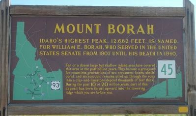
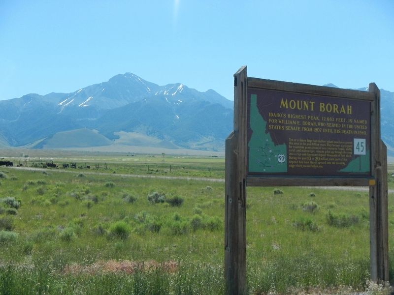
Mount Borah
Ten or a dozen large but shallow inland seas have covered this area in the past billion years. They became a graveyard for countless generations of sea creatures: bones, shells, coral, and microscopic remains piled up through the eons into a clay-and-limestone deposit thousands of feet thick. During the past 10 or 20 million years, part of this deposit has been thrust upward into the towering ridge which you see before your.
Erected by Idaho Department of Transportation. (Marker Number 45.)
Topics and series. This historical marker is listed in this topic list: Natural Features. In addition, it is included in the Idaho State Historical Society series list. A significant historical year for this entry is 1907.
Location. 44° 8.406′ N, 113° 54.288′ W. Marker is near Mackay, Idaho, in Custer County. Marker is at the intersection of U.S. 93 and Doublespring Pass Road, on the right when traveling north on U.S. 93. Touch for map. Marker is in this post office area: Mackay ID 83251, United States of America. Touch for directions.
Other nearby markers. At least 5 other markers are within 13 miles of this marker, measured as the crow flies. Earthquakes (a few steps from this marker); Earthquake! - The Event (approx. 2˝ miles away); Earthquake! - The Results (approx. 2˝ miles away); Earthquake! - The Stage (approx. 2˝ miles away); Goodin's River (approx. 12.3 miles away).
Credits. This page was last revised on September 27, 2023. It was originally submitted on November 7, 2017, by Barry Swackhamer of Brentwood, California. This page has been viewed 418 times since then and 36 times this year. Photos: 1, 2. submitted on November 7, 2017, by Barry Swackhamer of Brentwood, California. 3. submitted on September 18, 2023, by Allen C. Browne of Silver Spring, Maryland.


