Mackay in Custer County, Idaho — The American West (Mountains)
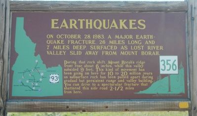
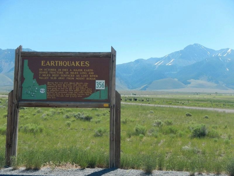
Earthquakes
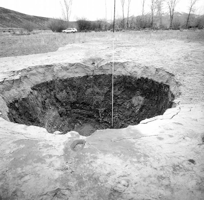
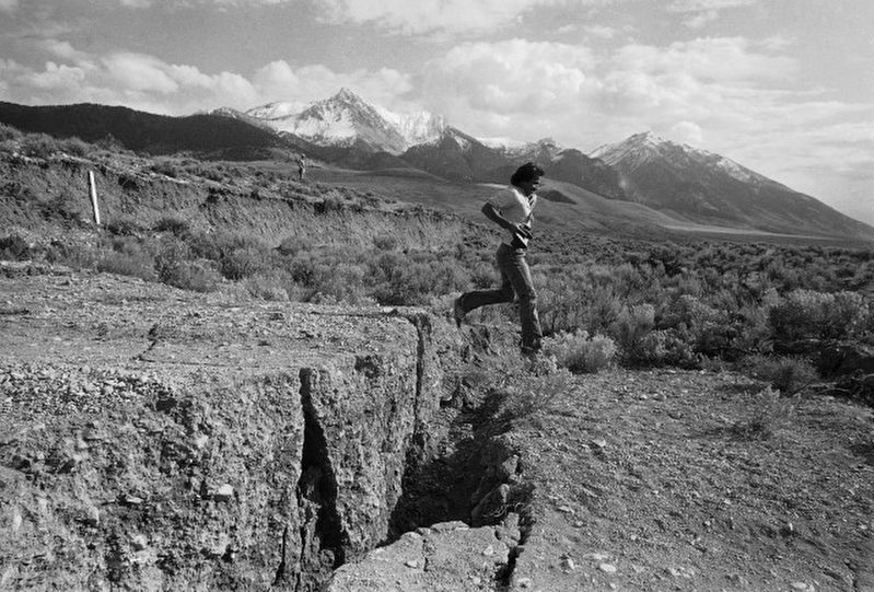
During that rock shift, Mount Borah’s ridge front rose about 6 inches, while this valley subsided 9 feet. This kind of movement has been going on here for 10 to 20 million years as subsurface rock has been pulled apart during gradual but persistent range and valley building. You can drive to a spectacular fracture that shattered this side road 2 1/2 miles from here.
Erected by Idaho Department of Transportation. (Marker Number 356.)
Topics and series. This historical marker is listed in these topic lists: Disasters • Natural Features. In addition, it is included in the Idaho State Historical Society series list. A significant historical date for this entry is October 28, 1983.
Location. 44° 8.412′ N, 113° 54.282′ W. Marker is in Mackay, Idaho, in Custer County. Marker is at the intersection of U.S. 93 and Doublespring Pass Road, on the right when traveling north on U.S. 93. Touch for map. Marker is in this post office area: Mackay ID 83251, United States of America. Touch for directions.
Other nearby markers. At least 5 other markers are within 13 miles of this marker, measured as the crow flies. Mount Borah (a few steps from this marker); Earthquake! - The Event (approx. 2˝ miles away); Earthquake! - The Results (approx. 2˝ miles away); Earthquake! - The Stage (approx. 2˝ miles away); Goodin's River (approx. 12.3 miles away).
Also see . . . The Borah Peak Earthquake - Idaho State University. Some of the primary effects of the Borah Peak earthquake included ground shaking and surface rupture directly related to fault movement along the western flank of the Lost River Range. Ground shaking was most intense near the epicenter between Challis and Mackay, but the earthquake was also felt over most of the northwestern United States and in parts of Canada. (Submitted on November 7, 2017, by Barry Swackhamer of Brentwood, California.)
Credits. This page was last revised on November 7, 2017. It was originally submitted on November 7, 2017, by Barry Swackhamer of Brentwood, California. This page has been viewed 437 times since then and 24 times this year. Photos: 1, 2, 3, 4, 5. submitted on November 7, 2017, by Barry Swackhamer of Brentwood, California.


