Lewiston in Nez Perce County, Idaho — The American West (Mountains)
The First Capital
Photographed by Cosmos Mariner, July 12, 2016
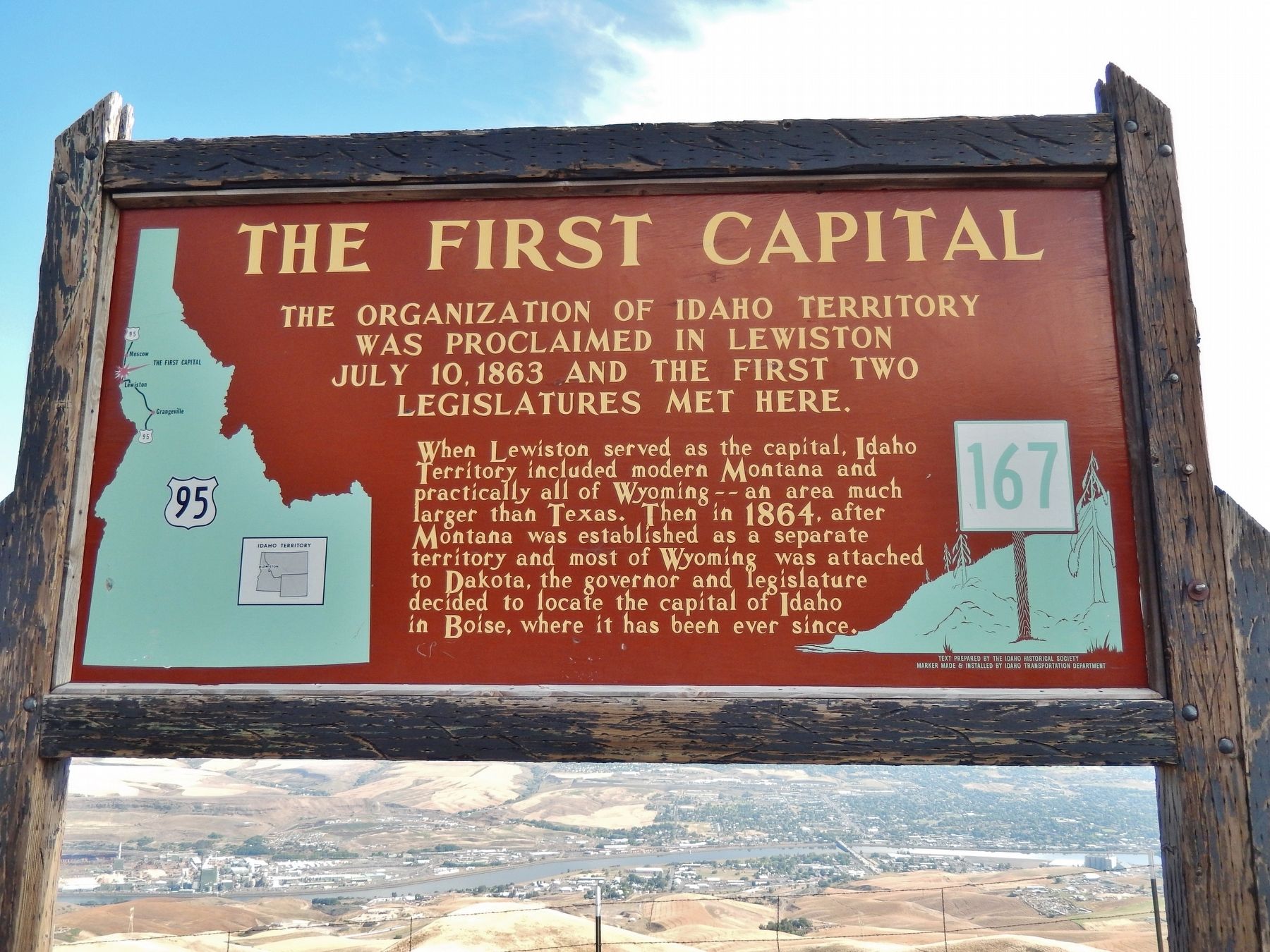
1. The First Capital Marker
The organization of Idaho Territory was proclaimed in Lewiston July 10, 1863 and the first two legislatures met here.
When Lewiston served as the capital, Idaho Territory included modern Montana and practically all of Wyoming – an area much larger than Texas. Then in 1864, after Montana was established as a separate territory and most of Wyoming was attached to Dakota, the governor and legislature decided to locate the capital of Idaho in Boise, where it has been ever since.
Erected by Idaho Historical Society & Idaho Transportation Department. (Marker Number 167.)
Topics and series. This historical marker is listed in these topic lists: Government & Politics • Settlements & Settlers. In addition, it is included in the Idaho State Historical Society series list. A significant historical date for this entry is July 10, 1863.
Location. 46° 27.697′ N, 116° 59.522′ W. Marker is in Lewiston, Idaho, in Nez Perce County. It is on U.S. 95 3 miles south of Old Spiral Highway, on the right when traveling south. Marker is located in a pull-out overlooking the city of Lewiston, and the Clearwater and Snake Rivers. Touch for map.
this page online

Regionally, this marker is in North Idaho — Idaho’s Panhandle and in the Palouse. It is also in the American Mountain West, specifically in the Pacific Northwest, and in the Lewis & Clark Corridor. Globally, it is in North America, the Western Hemisphere, the Western World, and the Anglosphere.
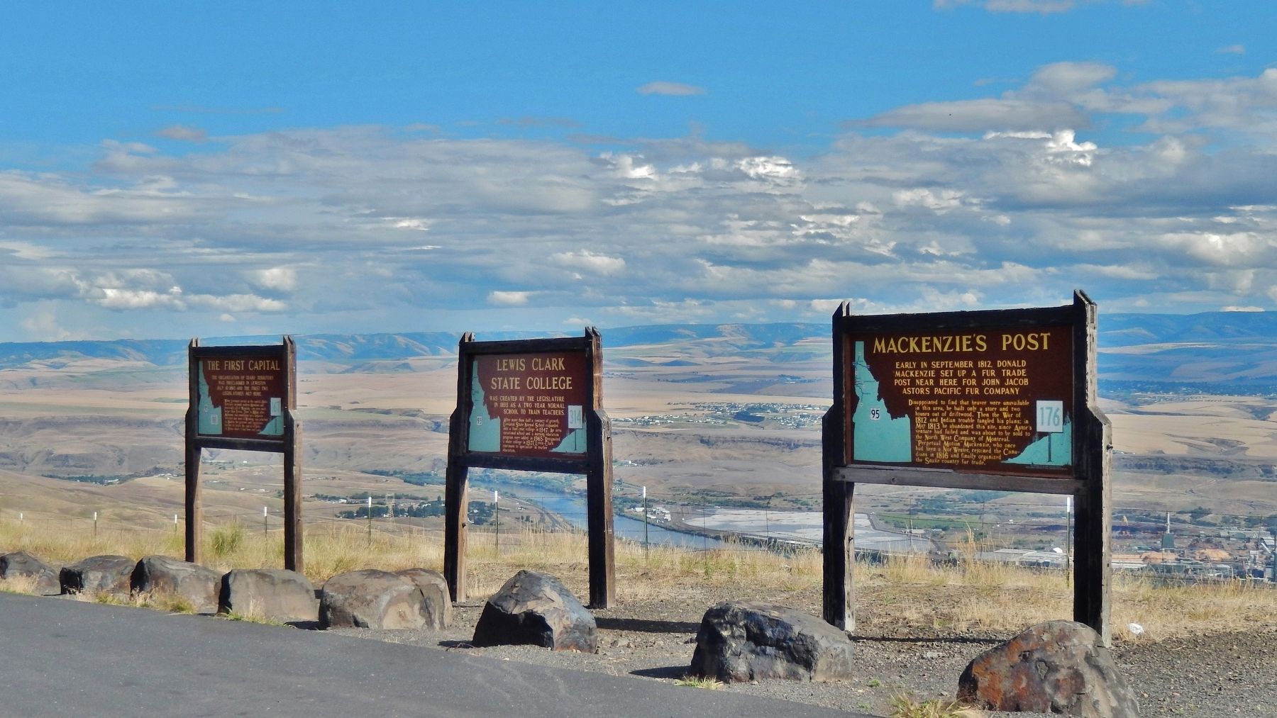
Other nearby markers. At least 8 other markers are within 4 miles of this marker, measured as the crow flies: Lewis Clark State College (here, next to this marker); Mackenzie's Post (here, next to this marker); Bert Zimmerly (approx. 1.1 miles away); Steamboats (approx. 1.2 miles away); Lewiston Hill (approx. 1.2 miles away); 18th St. Bridge (approx. 3 miles away); John Silcott (approx. 3 miles away); Site of Luna House (approx. 3.2 miles away). Touch for a list and map of all markers in Lewiston.
Another marker is no longer nearby. The Early Years in Nez Perce County (was approx. 3.2 miles away but has been permanently removed).
More about this marker. Large wooden marker in good condition
Photographed by Cosmos Mariner, July 12, 2016
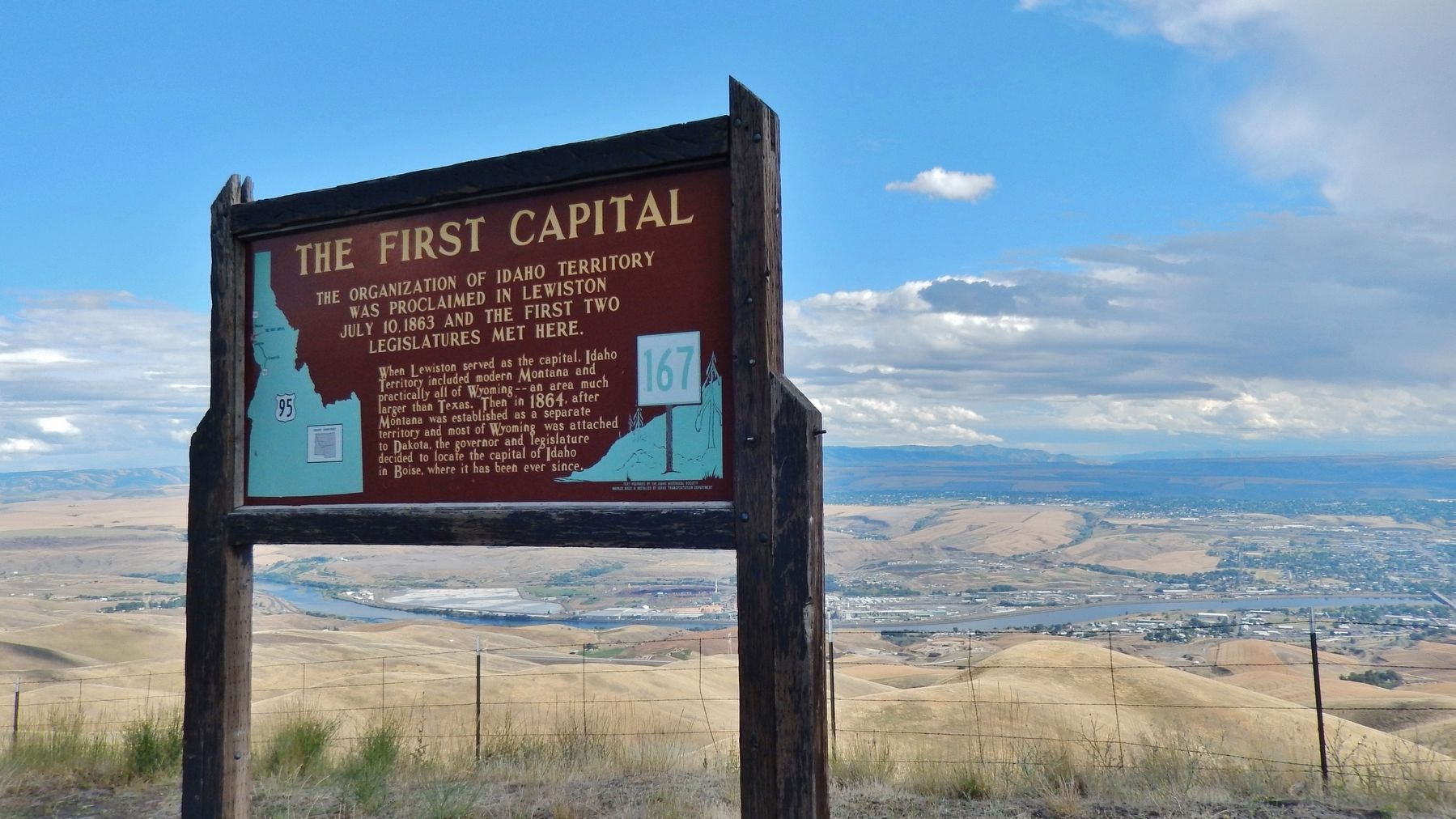
2. The First Capital Marker (wide view with Lewiston in the background)
Photographed by Cosmos Mariner, July 12, 2016
3. The First Capital Marker (wide view showing adjacent markers)
Credits. This page was last revised on February 22, 2026. It was originally submitted on November 7, 2017, by Cosmos Mariner of Cape Canaveral, Florida. This page has been viewed 576 times since then and 55 times this year. Photos: 1, 2, 3. submitted on November 7, 2017, by Cosmos Mariner of Cape Canaveral, Florida. • Bill Pfingsten was the editor who published this page.
