Kamiah in Idaho County, Idaho — The American West (Mountains)
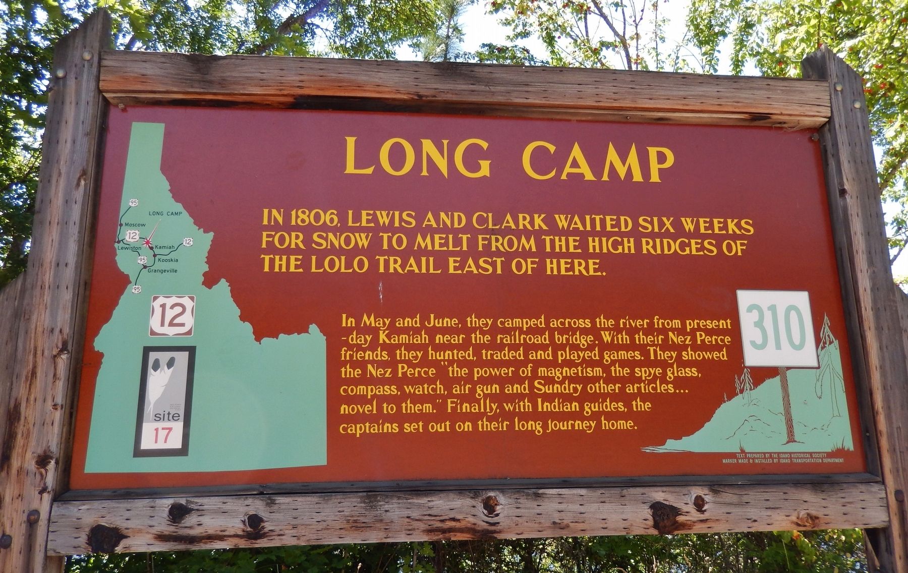
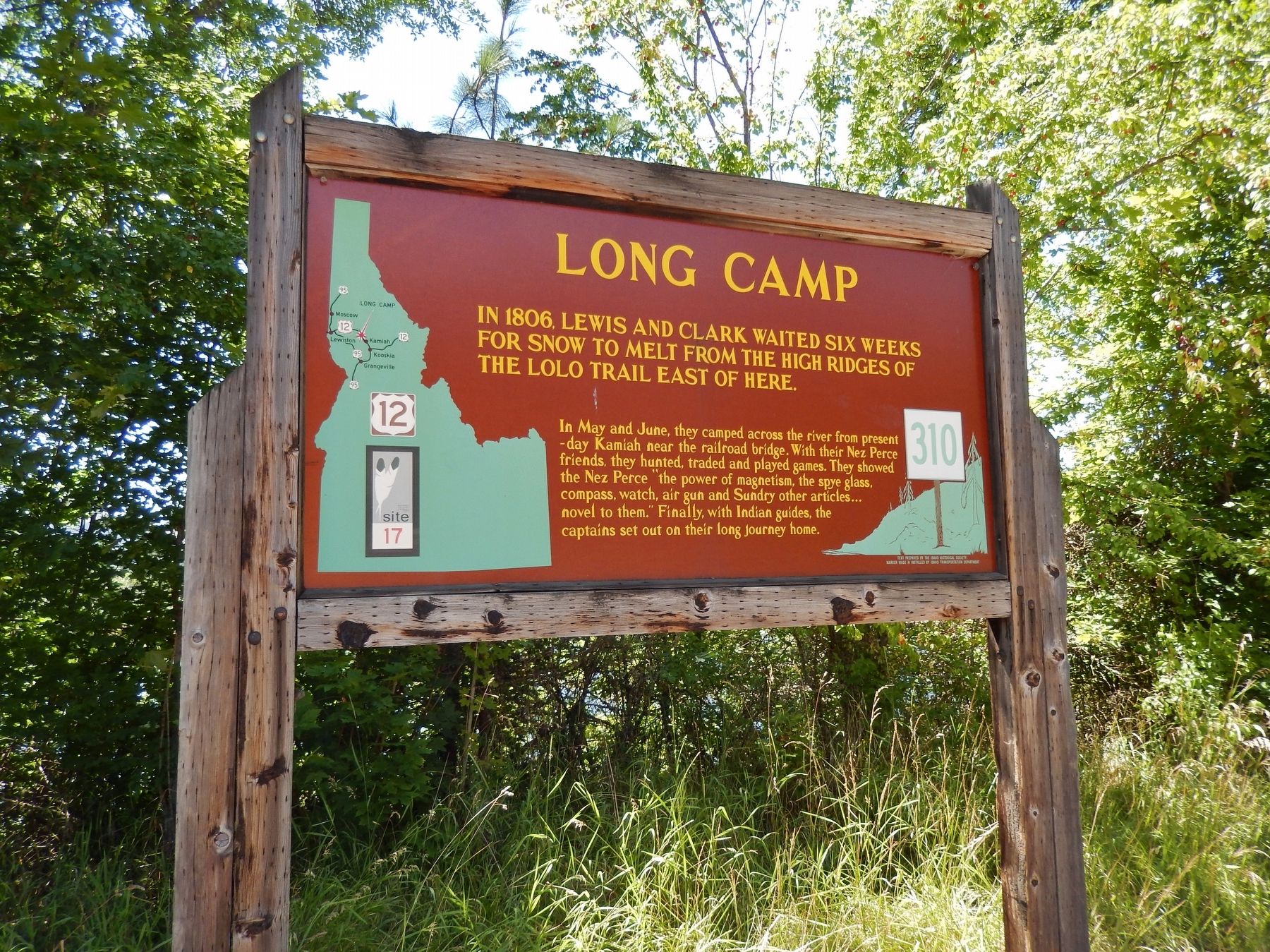
Long Camp
In 1806, Lewis and Clark waited six weeks
— for snow to melt from the high ridges of the Lolo Trail east of here —
Erected by Idaho Historical Society & Idaho Transportation Department. (Marker Number 310.)
Topics and series. This historical marker is listed in these topic lists: Exploration • Native Americans. In addition, it is included in the Idaho State Historical Society, and the Lewis & Clark Expedition series lists. A significant historical year for this entry is 1806.
Location. 46° 13.346′ N, 116° 0.577′ W. Marker is in Kamiah, Idaho, in Idaho County. Marker is on U.S. 12, half a mile west of Dyche Road, on the left when traveling west. Marker is located in a pull-out on the west side of US Highway 12, overlooking the Clearwater River. Touch for map. Marker is in this post office area: Kamiah ID 83536, United States of America. Touch for directions.
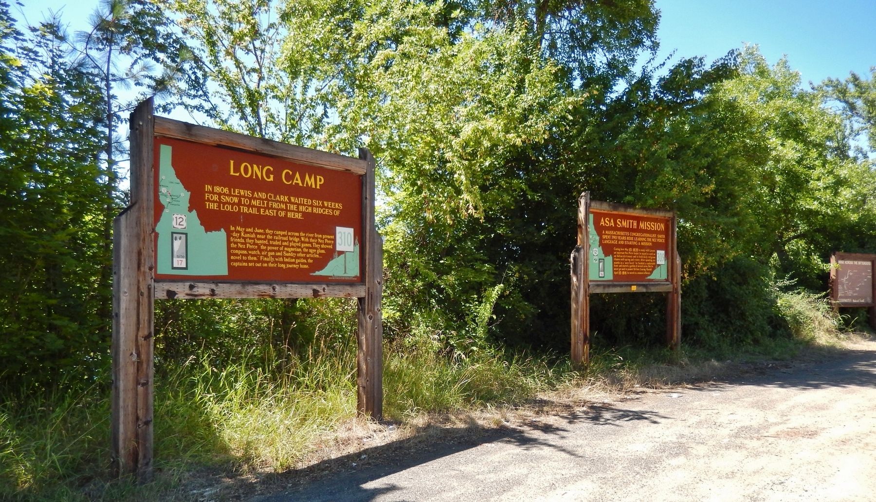
Other nearby markers. At least 8 other markers are within 10 miles of this marker, measured as the crow flies. Asa Smith Mission (here, next to this marker); Lewis and Clark Route (a few steps from this marker); Nez Perce National Historical Park (approx. 0.8 miles away); Trails at Heart of the Monster (approx. 0.8 miles away); Kooskia Crossing Kiosk (approx. 5.3 miles away); History of a Frontier Community (approx. 5.9 miles away); Looking Glass (approx. 6.6 miles away); Camas Prairie (approx. 9.7 miles away). Touch for a list and map of all markers in Kamiah.
More about this marker. Large wooden marker in good condition
Credits. This page was last revised on November 9, 2017. It was originally submitted on November 8, 2017, by Cosmos Mariner of Cape Canaveral, Florida. This page has been viewed 306 times since then and 30 times this year. Photos: 1, 2, 3. submitted on November 8, 2017, by Cosmos Mariner of Cape Canaveral, Florida. • Bill Pfingsten was the editor who published this page.


