
Aldie in Loudoun County, Virginia — The American South (Mid-Atlantic)
The Aldie Mill
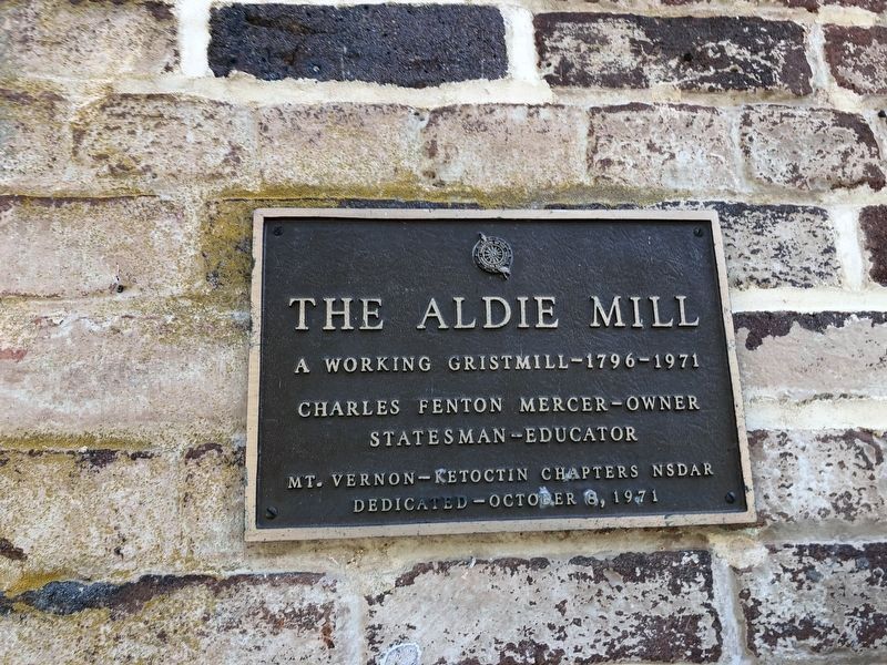
A working Gristmill – 1796 – 1971
Charles Fenton Mercer – Owner
Statesman – Educator
Erected 1971 by Mt. Vernon-Ketoctin Chapters National Society of the Daughters of the American Revolution.
Topics and series. This historical marker is listed in this topic list: Industry & Commerce. In addition, it is included in the Daughters of the American Revolution (DAR) series list.
Location. 38° 58.523′ N, 77° 38.475′ W. Marker is in Aldie, Virginia, in Loudoun County. It is on John Mosby Highway (U.S. 50), on the right when traveling west. Touch for map. Marker is at or near this postal address: 39407 John Mosby Highway, Aldie VA 20105, United States of America. Touch for directions.

Regionally, this marker is in the Washington Metropolitan Area and in Northern Virginia. It is also in the American South, specifically in the Upper South, and in the Mid-Atlantic. Globally, it is in North America, the Western Hemisphere, the Western World, and the Anglosphere. Historically, it finds itself in what was once the territory
this page online
Other nearby markers. At least 8 other markers are within walking distance of this marker: Slashing Sabers (a few steps from this marker); A Freedom Seeker from Aldie: The Story of Daniel Dangerfield (a few steps from this marker); Battle of Aldie (a few steps from this marker); Lee Moves North Again (a few steps from this marker); a different marker also named Aldie Mill (within shouting distance of this marker); Waterpower System (within shouting distance of this marker); The Milling Complex (within shouting distance of this marker); Mercer’s Home (about 400 feet away, measured in a direct line). Touch for a list and map of all markers in Aldie.
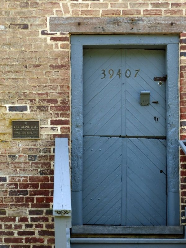
Photographed by Allen C. Browne, June 12, 2017
2. The Aldie Mill Marker
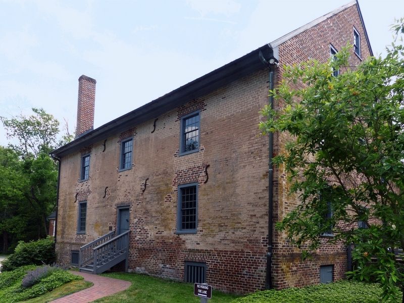
Photographed by Allen C. Browne, June 12, 2017
3. The Aldie Mill
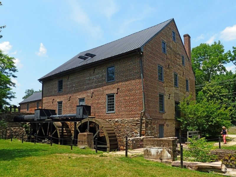
Photographed by Allen C. Browne, June 12, 2017
4. The Aldie Mill
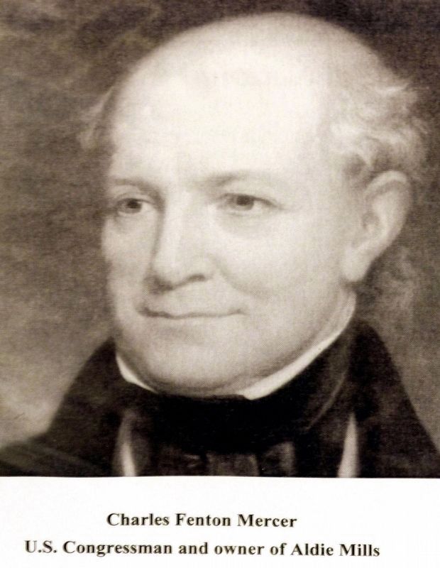
Photographed by Allen C. Browne, June 12, 2017
5. Charles Fenton Mercer
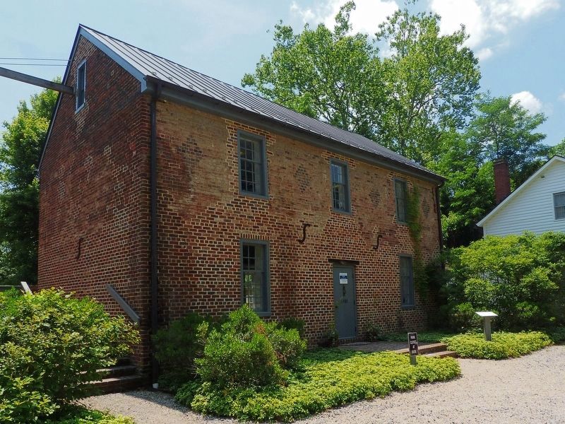
Photographed by Allen C. Browne, June 12, 2017
6. The Granary / Visitor Center at Aldie Mill
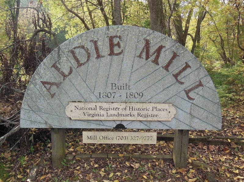
Photographed by Bradley Owen, October 21, 2016
7. Sign At Aldie Mill
Credits. This page was last revised on May 22, 2021. It was originally submitted on November 9, 2017, by Allen C. Browne of Silver Spring, Maryland. This page has been viewed 703 times since then and 22 times this year. Photos: 1. submitted on May 22, 2021, by Devry Becker Jones of Washington, District of Columbia. 2, 3, 4, 5, 6. submitted on November 9, 2017, by Allen C. Browne of Silver Spring, Maryland. 7. submitted on April 21, 2021, by Bradley Owen of Morgantown, West Virginia. • Bernard Fisher was the editor who published this page.
