Near Maysville in Banks County, Georgia — The American South (South Atlantic)
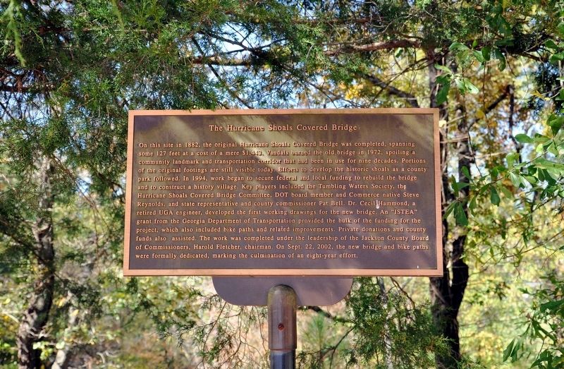
The Hurricane Shoals Covered Bridge
Photographed by David Seibert, October 20, 2012
1. The Hurricane Shoals Covered Bridge Marker
this page online
Erected by The Tumbling Waters Society of Jackson County, Inc.
Topics and series. This historical marker is listed in this topic list: Bridges & Viaducts. In addition, it is included in the Covered Bridges series list.
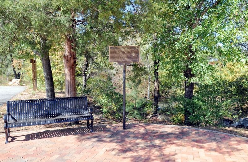
Location. 34° 12.817′ N, 83° 32.6′ W. Marker is near Maysville, Georgia, in Banks County. It is on Hurricane Shoals Park Road 0.1 miles south of Wheeler Cemetery Road, on the right when traveling south. The marker is located at the south end of the bridge, by the parking area for the Hurricane Shoals Park. Touch for map. Marker is in this post office area: Maysville GA 30558, United States of America. Touch for directions.

Regionally, this marker is in the Mountains. It is also in the American South and specifically in the Deep South. Globally, it is in North America, the Western Hemisphere, the Western World, and the Anglosphere. Historically, it finds itself in what was once the original Cherokee Nation, the territory of
Photographed by David Seibert, October 20, 2012
2. The Hurricane Shoals Covered Bridge Marker
Other nearby markers. At least 8 other markers are within 7 miles of this marker, measured as the crow flies: Privy (about 400 feet away, measured in a direct line); Home of Governor L.G. Hardman (approx. 5.1 miles away); Builder of the Nation (approx. 6.6 miles away); Jackson County (approx. 6.8 miles away); James Jackson (approx. 6.8 miles away); First Painless Operation (approx. 6.8 miles away); Dr. Crawford W. Long and Anesthesia for Surgery (approx. 6.8 miles away); Crawford W. Long Mural (approx. 6.8 miles away).
Also see . . . Hurricane Shoals Park. The "Our History" tab of this site (under the Home tab), created by The Tumbling Waters Society of Jackson County, Inc., explains the history of this site from 1784 to the present day. (Submitted on November 10, 2017, by David Seibert of Sandy Springs, Georgia.)
Photographed by David Seibert, October 20, 2012
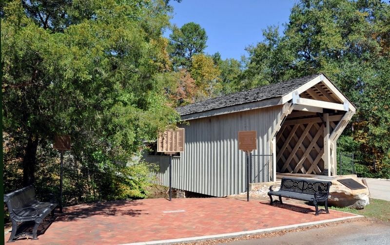
3. The Hurricane Shoals Covered Bridge and Marker
The marker is barely visible by the bench at the left edge of the photo. (The other two markers at the bridge are lists of donors and officials.)
Photographed by David Seibert, October 20, 2012
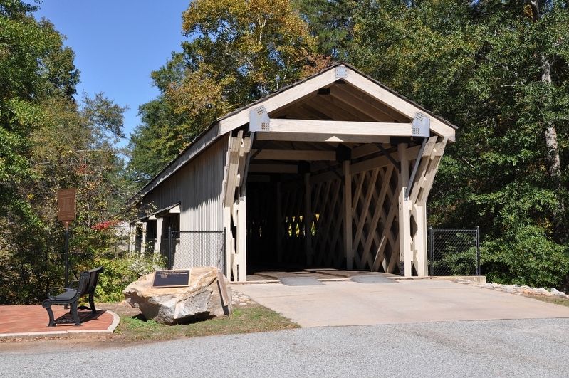
4. The Hurricane Shoals Covered Bridge
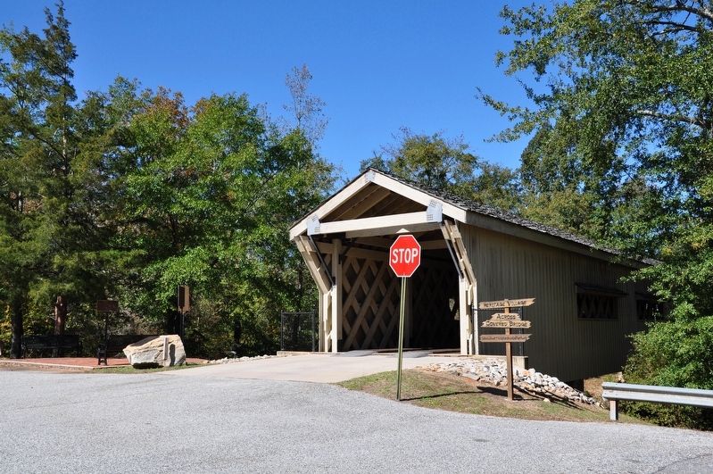
Photographed by David Seibert, October 20, 2012
5. The Hurricane Shoals Covered Bridge
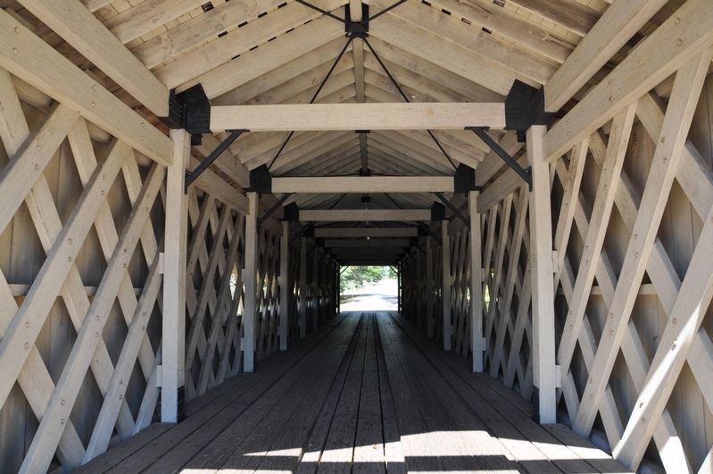
Photographed by David Seibert, October 20, 2012
6. The Hurricane Shoals Covered Bridge Interior
The bridge is constructed using the Town lattice construction, using a large number of diagonal elements which form a lattice. Ithiel Town patented the design in 1820. Additional bracing has been added to the Hurricane Shoals bridge.
Credits. This page was last revised on November 10, 2017. It was originally submitted on November 9, 2017, by David Seibert of Sandy Springs, Georgia. This page has been viewed 815 times since then and 43 times this year. Photos: 1, 2, 3, 4, 5, 6. submitted on November 9, 2017, by David Seibert of Sandy Springs, Georgia.
