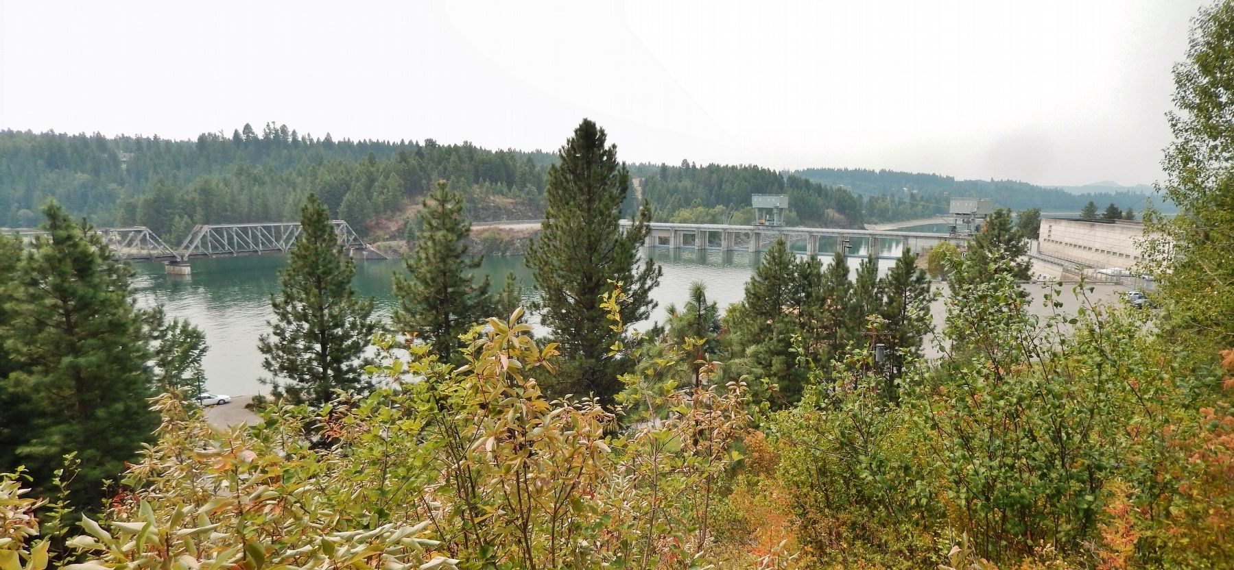
Oldtown in Bonner County, Idaho — The American West (Mountains)
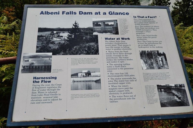
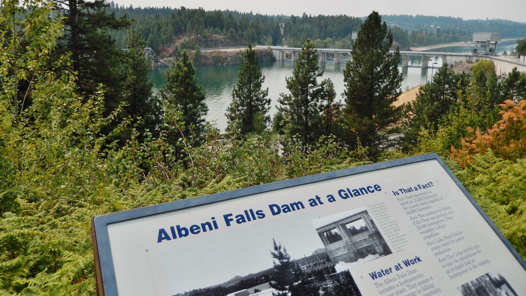
Albeni Falls Dam at a Glance
Harnessing the Flow
During the year, the Corps of Engineers regulates the flow of water through the dam. Water is released from Lake Pend Oreille to maintain seasonal lake elevations and to adjust for rain and snowmelt.
Water at Work
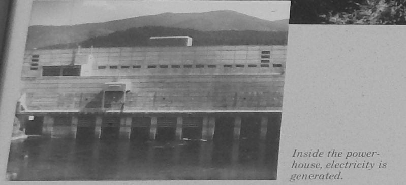
The Albeni Falls Dam includes a hydroelectric power plant. That means it uses the energy in falling water to produce electricity.
Water from the Pend Oreille River flows through intake channels in the powerhouse. The water strikes the turbineís blades and makes it spin.
The spinning turbine turns a shaft thatís connected to the generator rotor.
The rotor has 132 electromagnetic field poles.
The stator surrounds the rotor. The stator has coils of insulated copper wire.
When the rotorís magnets move past the statorís copper coils, electricity is produced.
The water flows out of the powerhouse into the tailrace.
Is That a Fact?
Fact: Each generator is rated at 14,200 kilowatts for a total rated capacity of 42,600 kilowatts
Fact:The turbines at Albeni Falls Dam can produce over 19,600 horsepower. The resemble a shipís propellers.
Fact:Lake Pend Oreille stores water for power production.
Fact:The Corps invites you to tour the powerhouse for an in-depth look at hydropower in the making
Topics. This historical marker is listed in these topic lists: Industry & Commerce • Waterways & Vessels.
Location. 48° 10.815′ N, 116° 59.735′ W. Marker is in Oldtown, Idaho, in Bonner County. Marker can be reached from the intersection of U.S. 2 and Le Clerc Road, on the right when traveling east. Touch for map. Marker is in this post office area: Oldtown ID 83822, United States of America. Touch for directions.
Other nearby markers. At least 2 other markers are within 3 miles of this marker, measured as the crow flies. Albeni Falls (a few steps from this marker); Corliss Steam Engine (approx. 2.2 miles away in Washington).
Photographed By Cosmos Mariner, August 2, 2015
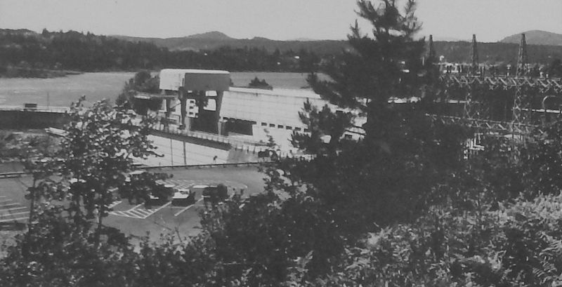
3. Marker Detail: Dedication
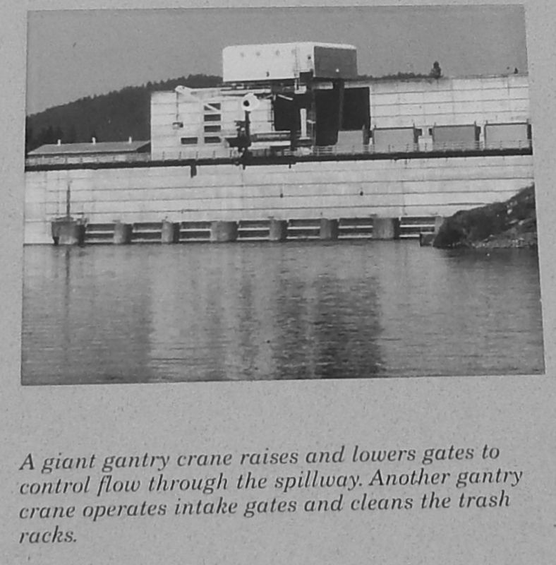
Dedicated on June 24, 1955, Albeni Falls Dam is one of 400 dams built and operated by the Corps nationwide.
Albeni Falls provides power production, flood control, recreation, and wildlife management.
Thatís why itís called a multiple purpose dam.
Photographed By Cosmos Mariner, August 2, 2015
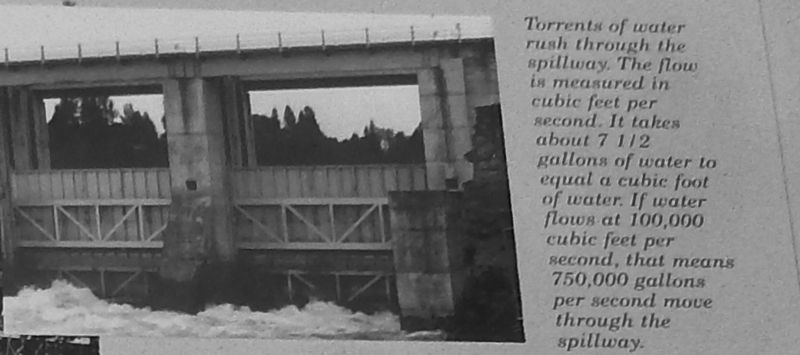
5. Marker Detail: Spillway
Torrents of water rush through the spillway.
The flow is measured in cubic feet per second. It takes about 7.5 gallons of water to equal a cubic foot of water.
If water flows at 100,000 cubic feet per second, that means 750,000 gallons per second move through the spillway.
Photographed By Cosmos Mariner, August 2, 2015
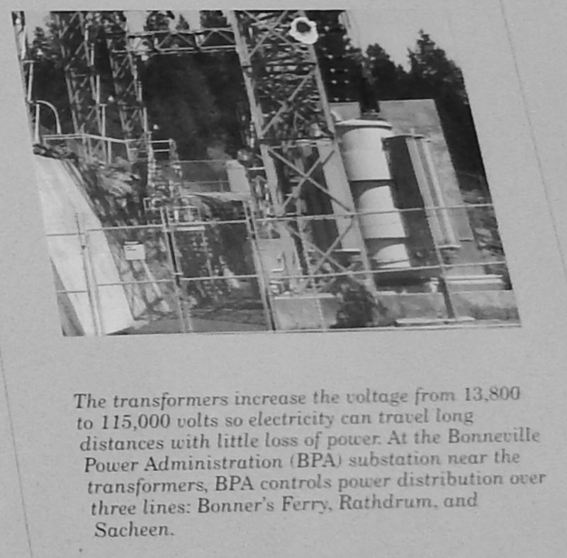
7. Marker Detail: Transformers
The transformers increase the voltage from 13,800 to 115,000 volts so electricity can travel long distances with little loss of power. At the Bonneville Power Administration (BPA) substation near the transformers, BPA controls power distribution over three lines: Bonner's Ferry, Rathdrum, and Sacheen.
Photographed By Cosmos Mariner, August 2, 2015
8. Marker Detail: Drift Yard
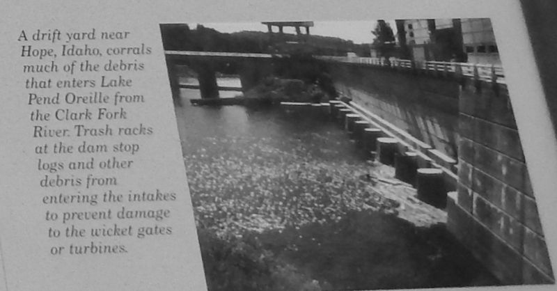
A drift yard near Hope, Idaho, corrals much of the debris that enters Lake Pend Oreille from the Clark Fork River. Trash racks at the dam stop logs and other debris from entering the intakes to prevent damage to the wicket gates or turbines.
Credits. This page was last revised on August 24, 2020. It was originally submitted on November 11, 2017, by Cosmos Mariner of Cape Canaveral, Florida. This page has been viewed 256 times since then and 28 times this year. Photos: 1, 2, 3, 4, 5. submitted on November 11, 2017, by Cosmos Mariner of Cape Canaveral, Florida. 6, 7, 8. submitted on November 18, 2017, by Cosmos Mariner of Cape Canaveral, Florida. 9. submitted on November 11, 2017, by Cosmos Mariner of Cape Canaveral, Florida. • Bill Pfingsten was the editor who published this page.
